
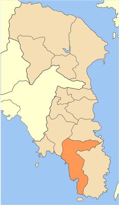
Municipality of Saronikos, municipality in Attica region, Greece
Location: Regional Unit of East Attica
GPS coordinates: 37.76696,23.93340
Latest update: March 3, 2025 02:35
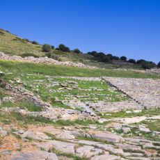
Theatre of Thorikos
11.1 km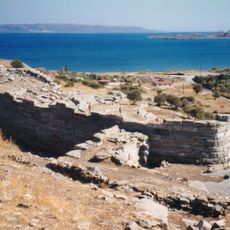
Thoricus
11.1 km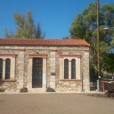
Mineral museum of Lavrio
11.8 km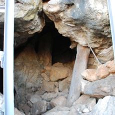
Cave of Kitsos
7.8 km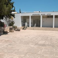
Archaeological Museum of Lavrion
12 km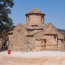
Church of Agios Petros
8.7 km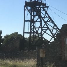
Kamariza Mines
8.5 km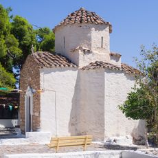
Church of Agios Dimitrios Saronikou
7.2 km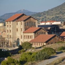
Lavrion Technological and Cultural Park
11.3 km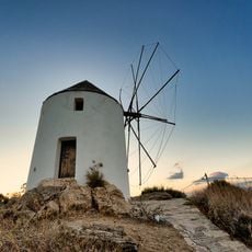
Markopoulo Windmill
13.1 km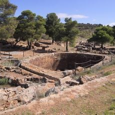
Souriza
11.2 km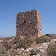
Tower of Liada
11.3 km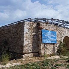
Ore washery at Lavrio
11.8 km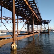
French loading dock, Lavrio
12.7 km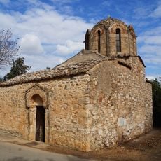
Panagia Mesosporitissa
8.6 km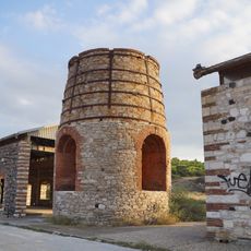
Kaminos Fryxeos Kalaminas Lavriou
12.8 km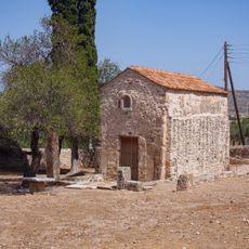
Church of Panagias Merenta
11.8 km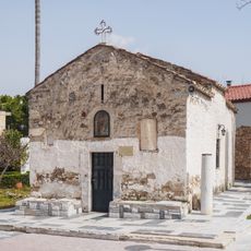
Church of Agios Charalambos Kerateas
6.1 km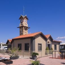
Clock tower of Lavrio
12.4 km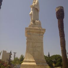
Statue of Giovanni Battista Serpieri, Lavrio
12.1 km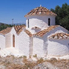
Church of Taxiarchon Ntagla
11.4 km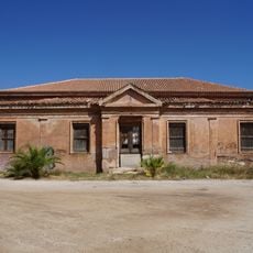
Efterpi building, - Lavrio
11.7 km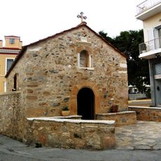
Church of Agia Paraskevi Kerateas
5.9 km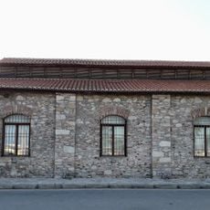
Machine works, Lavrio
12.3 km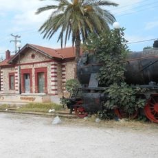
Markopoulo railway station
13 km
Former Mining Company administration building, Lavrio
12.3 km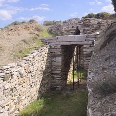
Tholos tomb 3, Thorikos
11.3 km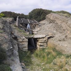
Tholos tomb A, Thorikos
11.1 kmVisited this place? Tap the stars to rate it and share your experience / photos with the community! Try now! You can cancel it anytime.
Discover hidden gems everywhere you go!
From secret cafés to breathtaking viewpoints, skip the crowded tourist spots and find places that match your style. Our app makes it easy with voice search, smart filtering, route optimization, and insider tips from travelers worldwide. Download now for the complete mobile experience.

A unique approach to discovering new places❞
— Le Figaro
All the places worth exploring❞
— France Info
A tailor-made excursion in just a few clicks❞
— 20 Minutes