Municipality of Kasos, municipality of Greece
Location: Karpathos-Kasos Regional Unit
GPS coordinates: 35.38723,26.91180
Latest update: March 5, 2025 10:56
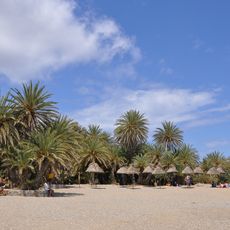
Palm forest of Vai
60.6 km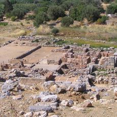
Zakros
67.3 km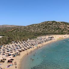
Vai Beach
60.6 km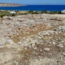
Palace of Petras
75.4 km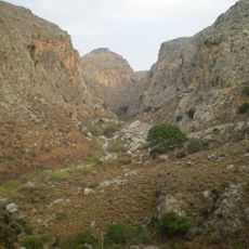
Zakros Gorge
68.9 km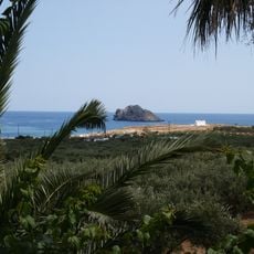
Kymo
76.9 km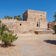
Kazarma Fortress
75.7 km
Petsofas
61.7 km
Minoan villa of Zakros
67.3 km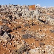
Traostalos
65.4 km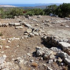
Minoan villa of Achladia
80.1 km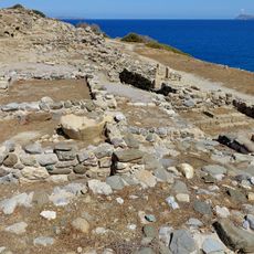
Archaeological site of Trypitos
74.1 km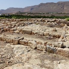
Farmakokefalo
72.9 km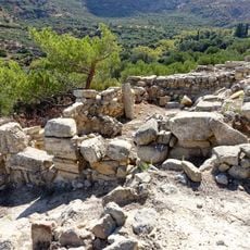
Minoan villa of Zou
77.6 km
Vai Palm Forest
60.8 km
Klimataria
76.6 km
Astakidopoulo Karpathou
54.9 km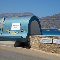
Konstantinos Iliakis memorial, Karpathos
30.2 km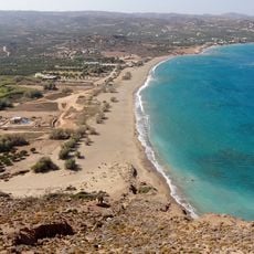
Kouremenos
61.7 km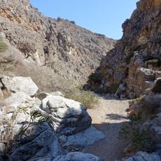
Chochlakies Gorge
64.8 km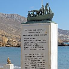
Immakolata memorial, Finiki, Karpathos
21.9 km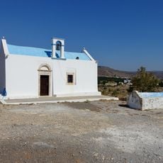
Church of Agios Nikolaos
73 km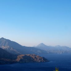
Voreia Karpathos Kai Saria Kai Paraktia Thalassia Zoni
54.3 km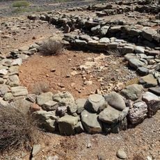
Archaeological site of Agia Photia
72.6 km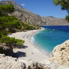
Kyra Panagia beach
32.9 km
Eparcheio Karpathou
30.4 km
Gorge All Saints
79.8 km
Reviews
Visited this place? Tap the stars to rate it and share your experience / photos with the community! Try now! You can cancel it anytime.
Discover hidden gems everywhere you go!
From secret cafés to breathtaking viewpoints, skip the crowded tourist spots and find places that match your style. Our app makes it easy with voice search, smart filtering, route optimization, and insider tips from travelers worldwide. Download now for the complete mobile experience.

A unique approach to discovering new places❞
— Le Figaro
All the places worth exploring❞
— France Info
A tailor-made excursion in just a few clicks❞
— 20 Minutes