Chest opened
+${chestReward.xp} XP
Explorer
NOUVEAU ×${chestReward.collectible.quantity}
tapez pour fermer
Chest locked

Open chests in the app

Around Us is built for your phone — chests unlock when you walk, explore and capture nearby places.

Enable Location

We need your location to show you interesting places around you

Discover nearby places

Find interesting locations and hidden gems around you

Precise directions

Get accurate directions and distances to places

Your location is never shared with other users. It's only used when you tap the location button.

Eure

Log in to your account

Start exploring — it's free

Trusted by 72,893 travelers worldwide

Continue with Google
Continue with Apple
or

We will send you a code to connect

By continuing, you accept our Terms and Conditions and our Privacy Policy

Check your inbox

We've sent a pincode in your inbox. Please enter the code below.

Eure
Discussion Reviews 2 Photos
26.3k Popularity

Eure, River in Normandy, France

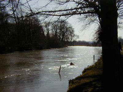
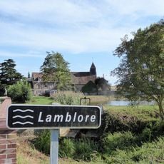
The Eure is a river in Normandy that flows for around 229 kilometers through northwestern France. It begins at Marchainville and joins the Seine near Pont-de-l'Arche.

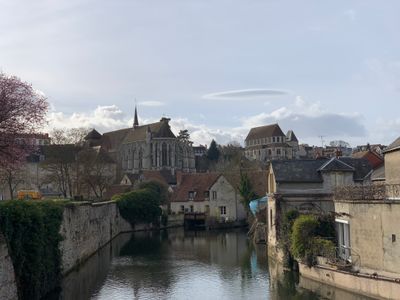
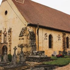
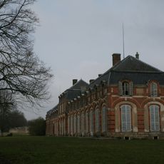
The river has served as a vital water source since Roman times for settlements along its path. Its waters enabled the growth of cities like Chartres and Évreux that developed because of their riverside location.

The river shaped the identity of two French departments that bear its name, connecting people across generations to their landscape. Local communities have long organized their lives around this waterway, building towns and farms in relation to its presence.

The river is accessible at many points along its course, inviting walks along the banks. The surroundings support activities like fishing and watching wildlife throughout the year.

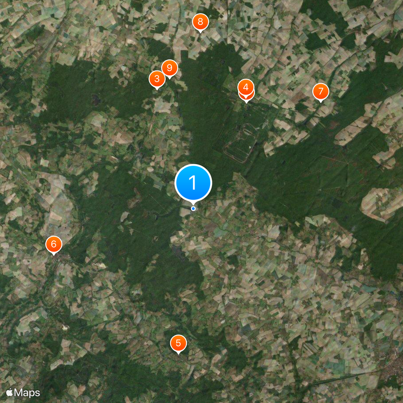
The river system is fed by six main tributaries that bring water from different directions. These branches extend the water network across a wider region, strengthening its flow.

The community of curious travelers

AroundUs brings together thousands of curated places, local tips, and hidden gems, enriched daily by 60,000 contributors worldwide.

Start exploring
Elevation above the sea
4 m
GPS coordinates
48.55306,0.85833
Latest update
December 20, 2025 15:17
Around this place
Château de La Ferté-Vidame
France

Château de La Ferté-Vidame

6.8 km
Château du Hallier
France

Château du Hallier

7.2 km
Église Saint-Nicolas de la Ferté-Vidame
France

Église Saint-Nicolas de la Ferté-Vidame

7.1 km
Église Notre-Dame du Mont-Harou
France

Église Notre-Dame du Mont-Harou

8.3 km
Chapelle Notre-Dame-de-Pitié
France

Chapelle Notre-Dame-de-Pitié

8.4 km
Église Saint-Jean-Baptiste de La Puisaye
France

Église Saint-Jean-Baptiste de La Puisaye

9.6 km
Église Saint-Pierre de La Chapelle-Fortin
France

Église Saint-Pierre de La Chapelle-Fortin

10.2 km
Chapelle Saint-Pierre de Réveillon
France

Chapelle Saint-Pierre de Réveillon

7.6 km
Église Saint-Martin, Lamblore
France

Église Saint-Martin, Lamblore

9.3 km
Église Saint-Jean des Murgers, Meaucé
France

Église Saint-Jean des Murgers, Meaucé

10.9 km
Église Saint-Pierre de Manou
France

Église Saint-Pierre de Manou

9.7 km
Église Saint-Laumer du Pas-Saint-l'Homer
France

Église Saint-Laumer du Pas-Saint-l'Homer

8.5 km
Église Notre-Dame-de-l'Assomption de Moussonvilliers
France

Église Notre-Dame-de-l'Assomption de Moussonvilliers

10.5 km
Église Saint-Jean-Baptiste
France

Église Saint-Jean-Baptiste

756 m
Église Sainte-Madeleine de La Madeleine-Bouvet
France

Église Sainte-Madeleine de La Madeleine-Bouvet

9.7 km
Église Saint-Germain
France

Église Saint-Germain

6.4 km
Église Saint-Denis
France

Église Saint-Denis

7.4 km
Retable du pilier nord de l'église Notre-Dame-du-Mont-Harou de Moutiers-au-Perche
France

Retable du pilier nord de l'église Notre-Dame-du-Mont-Harou de Moutiers-au-Perche

8.3 km
Église Saint-Germain de Neuilly-sur-Eure
France

Église Saint-Germain de Neuilly-sur-Eure

3.5 km
Église Notre-Dame des Ressuintes
France

Église Notre-Dame des Ressuintes

7.6 km
Église Saint-Laurent des Menus
France

Église Saint-Laurent des Menus

6.4 km
Retable du maître-autel de l'église Notre-Dame-du-Mont-Harou de Moutiers-au-Perche
France

Retable du maître-autel de l'église Notre-Dame-du-Mont-Harou de Moutiers-au-Perche

8.3 km
Retable du pilier sud de l'église Notre-Dame-du-Mont-Harou de Moutiers-au-Perche
France

Retable du pilier sud de l'église Notre-Dame-du-Mont-Harou de Moutiers-au-Perche

8.3 km
Retable du collatéral nord de l'église Notre-Dame-du-Mont-Harou de Moutiers-au-Perche
France

Retable du collatéral nord de l'église Notre-Dame-du-Mont-Harou de Moutiers-au-Perche

8.3 km
Moutiers-au-Perche Notre-Dame
France

Moutiers-au-Perche Notre-Dame

8.3 km
Petit château de la Ferté-Vidame
France

Petit château de la Ferté-Vidame

7 km
France

Monument aux morts

9.7 km
France

Monument commémoratif de 1870-1871

8.5 km
Show the full map
Reviews
Share your experience

No review yet

Discussions
Start a discussion...

No discussion yet

« Eure - River in Normandy, France » is provided by Around Us (aroundus.com). Images and texts are derived from Wikimedia project under a Creative Commons license. You are allowed to copy, distribute, and modify copies of this page, under the conditions set by the license, as long as this note is clearly visible.

Discover hidden gems everywhere you go!

From secret cafés to breathtaking viewpoints, skip the crowded tourist spots and find places that match your style. Our app makes it easy with voice search, smart filtering, route optimization, and insider tips from travelers worldwide. Download now for the complete mobile experience.

Around Us App Screenshot

A unique approach to discovering new places

Le Figaro

All the places worth exploring

France Info

A tailor-made excursion in just a few clicks

20 Minutes

Around Us
Travel Guide & Maps
Download

Send to your phone

QR Code
1

Open the camera app on your mobile.

2

Point at the QR code with your camera. A notification will appear.

3

Tap the notification to open the link.