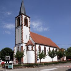
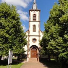
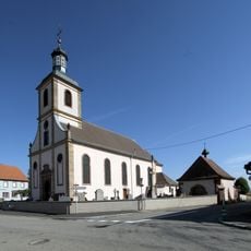
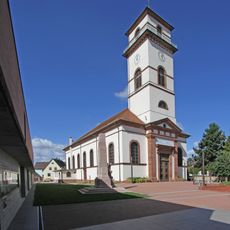
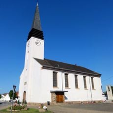
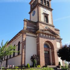
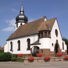
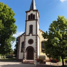
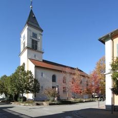
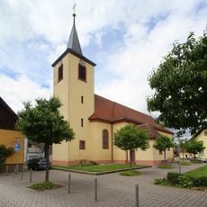
Dalhunden, French commune in Bas-Rhin, France
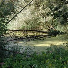
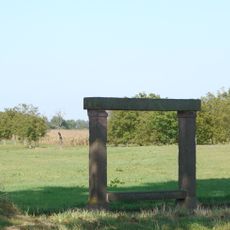
Dalhunden is a French commune located in Bas-Rhin, nestled between two water loops in the Ried Nord region with forests, waterways, and reed beds. The village sits in a floodplain landscape shaped by its proximity to water and seasonal flooding patterns.
This settlement began as an agricultural clearing between the 11th and 13th centuries and first appeared in written records in 1333. Its growth was tied to the feudal system and the management of the floodplain environment.
The village is deeply tied to traditional work like fishing, farming, and timber logging, which have shaped how people here live across generations. The connection to water and land remains visible in how the community defines itself today.
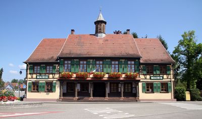
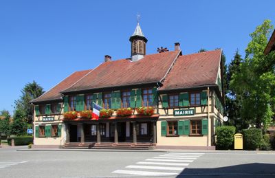
The village is accessible and easy to explore on foot, allowing you to experience the waterways and rural landscape at a leisurely pace. The town hall provides basic services and local information for visitors during office hours.
The village sits within a distinctive landscape pattern created by two water loops that shape the surrounding terrain in an unusual way. This natural configuration has influenced how the community is organized and how people interact with the environment.
The community of curious travelers
AroundUs brings together thousands of curated places, local tips, and hidden gems, enriched daily by 60,000 contributors worldwide.