Enable Location

We need your location to show you interesting places around you

Discover nearby places

Find interesting locations and hidden gems around you

Precise directions

Get accurate directions and distances to places

Your location is never shared with other users. It's only used when you tap the location button.

Sarrebourg

Log in to your account

Start exploring — it's free

Trusted by 62,863 travelers worldwide

Continue with Google
Continue with Apple
or

We will send you a code to connect

By continuing, you accept our Terms and Conditions and our Privacy Policy

Check your inbox

We've sent a pincode in your inbox. Please enter the code below.

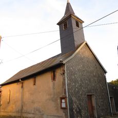
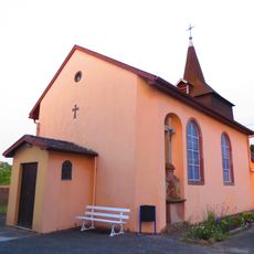
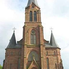
Sarrebourg, Administrative division in Grand Est, France

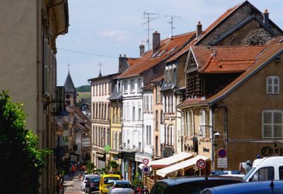
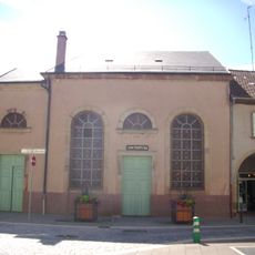
Sarrebourg is a town on the Saar River in eastern France, positioned between Metz and Strasbourg in the Moselle region. The settlement developed around a river crossing and today offers a mix of historic streets and modern facilities for residents and visitors.

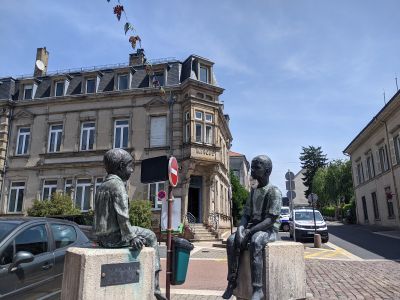
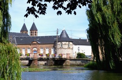
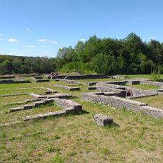
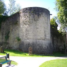
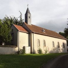
The settlement began as a Roman bridge point called Ponte Saravi and later became a fortified medieval town under Lorraine's influence. This strategic location at a river crossing shaped the town's development across centuries.

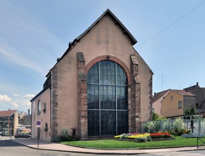
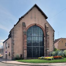
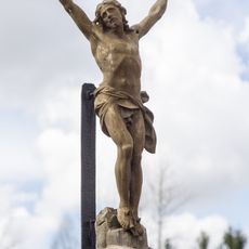
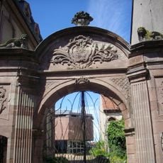
The local museum houses archaeological finds, Marc Chagall paintings, and regional pottery and porcelain collections that reflect the area's artistic identity. These holdings draw visitors interested in both traditional craftsmanship and modern art.

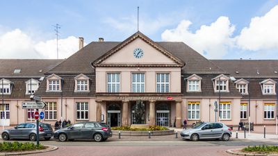
The railway station connects the town to major routes between Paris and Strasbourg, offering good train connections for arrivals from outside. Visitors should use the location between two larger cities to easily explore the region.

The Lévêque Pond is a recreation and leisure area with swimming zones, mountain biking trails, and sports facilities right near the town. This offering makes the location a popular destination for outdoor activities in the region.

The community of curious travelers

AroundUs brings together thousands of curated places, local tips, and hidden gems, enriched daily by 60,000 contributors worldwide.

Start exploring
Location
Location
Communauté de communes de Sarrebourg-Moselle-Sud
Elevation above the sea
274 m
Shares border with
Bébing, Buhl-Lorraine, Dolving, Haut-Clocher, Hesse, Imling, Réding, Sarraltroff
Address
57400 Sarrebourg, France
Phone
GPS coordinates
48.73472,7.05389
Latest update
December 17, 2025 09:20
« Sarrebourg - Administrative division in Grand Est, France » is provided by Around Us (aroundus.com). Images and texts are derived from Wikimedia project under a Creative Commons license. You are allowed to copy, distribute, and modify copies of this page, under the conditions set by the license, as long as this note is clearly visible.

Discover hidden gems everywhere you go!

From secret cafés to breathtaking viewpoints, skip the crowded tourist spots and find places that match your style. Our app makes it easy with voice search, smart filtering, route optimization, and insider tips from travelers worldwide. Download now for the complete mobile experience.

Around Us App Screenshot

A unique approach to discovering new places

Le Figaro

All the places worth exploring

France Info

A tailor-made excursion in just a few clicks

20 Minutes

Around Us
Travel Guide & Maps
Download

Send to your phone

QR Code
1

Open the camera app on your mobile.

2

Point at the QR code with your camera. A notification will appear.

3

Tap the notification to open the link.