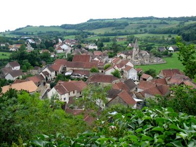
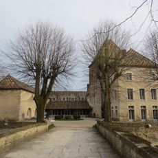
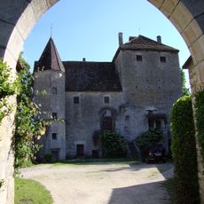
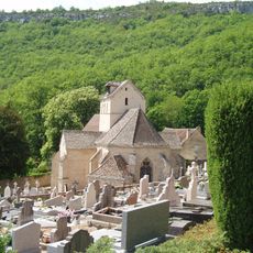
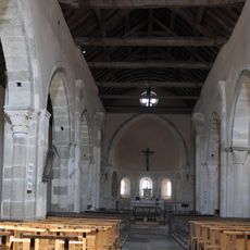
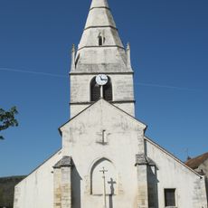
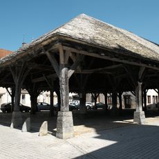
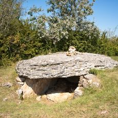
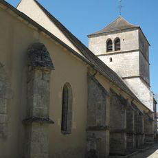
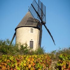
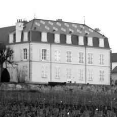
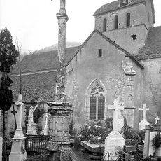
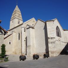
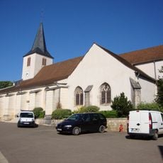
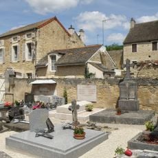
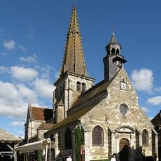
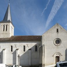
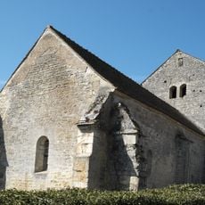
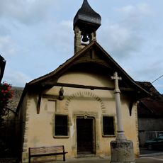
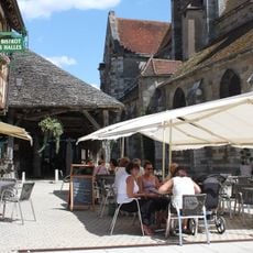
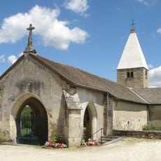
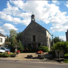
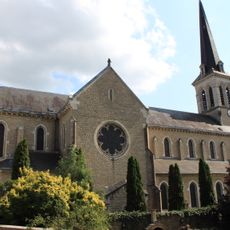
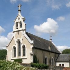
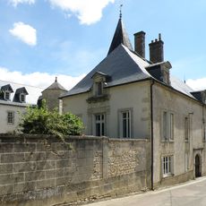
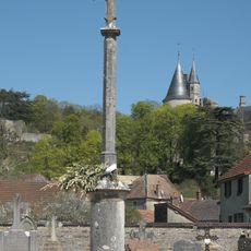
La Rochepot, commune in Côte-d'Or, France
Location: canton of Nolay
Location: Côte-d’Or
Location: arrondissement of Beaune
Elevation above the sea: 410 m
Industry: administration publique générale
Shares border with: Santosse, Auxey-Duresses, Baubigny, Cormot-le-Grand, Nolay, Saint-Aubin, Santenay, Vauchignon, Change, Dezize-lès-Maranges
GPS coordinates: 46.95806,4.67889
Latest update: June 11, 2025 17:17
Château de la Rochepot
195 m
Château de Santenay
5 km
Château de Gamay
3.2 km
Église Saint-Jean de Narosse
4.2 km
Église Notre-Dame-de-la-Nativité de La Rochepot
77 m
Église Saint-Martin d'Auxey-Duresses
6 km
Halles de Nolay
3.5 km
Triptych of the Virgin
6 km
Tumuli-dolmens du Mont-de-Senne
4.3 km
Église de Saint-Romain, Côte-d'Or
5.4 km
Moulin Sorine
5 km
Château de la Maltroye
4.5 km
Croix de cimetière de Santenay
4.2 km
Église Saint-Aubin de Saint-Aubin
2.4 km
Église Saint-Marc de Chassagne-Montrachet
4.5 km
Cimetière d’Auxey-Duresses
6.1 km
Église Saint-Martin de Nolay
3.5 km
Église Saint-Roch de Change
4.7 km
Église Saint-Symphorien
5.6 km
Chapelle Saint-Pierre de Nolay
3.3 km
Halles
3.5 km
Église Saint-Léger de Baubigny
1.3 km
Église Saint-Antoine de Cormot-le-Grand
2.7 km
Église Notre-Dame-du-Rosaire de Santenay
5.1 km
Chapelle Saint-Philippe-et-Saint-Jacques de Nolay
3.8 km
Chapelle des Secours
3.4 km
Château de Melin
3.5 km
Croix de cimetière de La Rochepot
71 mVisited this place? Tap the stars to rate it and share your experience / photos with the community! Try now! You can cancel it anytime.
Discover hidden gems everywhere you go!
From secret cafés to breathtaking viewpoints, skip the crowded tourist spots and find places that match your style. Our app makes it easy with voice search, smart filtering, route optimization, and insider tips from travelers worldwide. Download now for the complete mobile experience.
A unique approach to discovering new places❞
— Le Figaro
All the places worth exploring❞
— France Info
A tailor-made excursion in just a few clicks❞
— 20 Minutes