Enable Location

We need your location to show you interesting places around you

Discover nearby places

Find interesting locations and hidden gems around you

Precise directions

Get accurate directions and distances to places

Your location is never shared with other users. It's only used when you tap the location button.

Saint-Géry

Log in to your account

Start exploring — it's free

Trusted by 62,971 travelers worldwide

Continue with Google
Continue with Apple
or

We will send you a code to connect

By continuing, you accept our Terms and Conditions and our Privacy Policy

Check your inbox

We've sent a pincode in your inbox. Please enter the code below.

Discussion Reviews 1 Photos
1.6k Popularity

Saint-Géry, Rural commune in Dordogne department, Nouvelle-Aquitaine region, France.

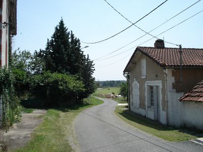
Saint-Géry covers 18.71 square kilometers with elevations ranging from 60 to 148 meters above sea level, featuring the Lidoire river that flows through its territory before joining the Dordogne river.

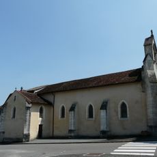
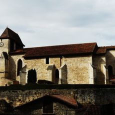
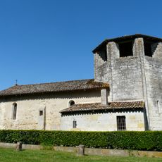
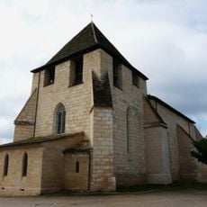
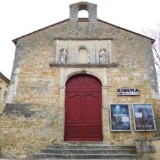
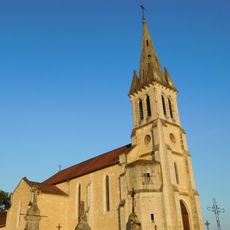
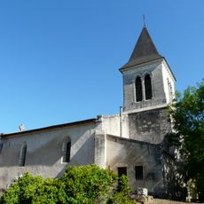
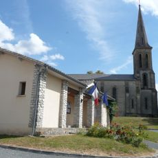
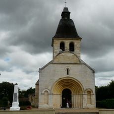
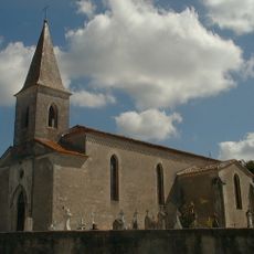
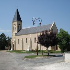
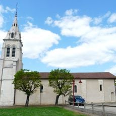
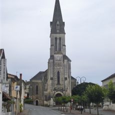
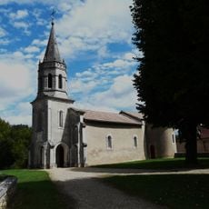
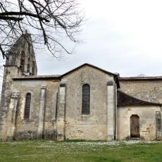
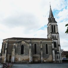
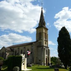
First documented in the 13th century as Sanctus Egidius, the commune derives its name from a Provençal hermit and features a 19th-century Saint-Gilles church that replaced an earlier medieval structure.

The commune hosts an annual votive festival during August or September that brings together the local community for traditional celebrations and festive gatherings rooted in Périgord heritage and customs.

The town hall operates on Tuesday and Thursday from 8 AM to 12 PM and Wednesday from 8 AM to 11 AM, under Mayor Sébastien Bourdin who serves the 2020-2026 term.

The communal territory is crossed by the 45th parallel north, positioning the village at the exact equidistant point between the North Pole and the Earth's equator, a remarkable geographical feature.

The community of curious travelers

AroundUs brings together thousands of curated places, local tips, and hidden gems, enriched daily by 60,000 contributors worldwide.

Start exploring
Location
Location
Industry
administration publique générale
Shares border with
Saint-Médard-de-Mussidan, Fraisse, Beaupouyet, Bosset, Les Lèches
Address
24400 Saint-Géry, France
Phone
GPS coordinates
44.98417,0.32389
Latest update
October 20, 2025 09:58
Reviews
Share your experience

No review yet

Discussions
Start a discussion...

No discussion yet

« Saint-Géry - Rural commune in Dordogne department, Nouvelle-Aquitaine region, France » is provided by Around Us (aroundus.com). Images and texts are derived from Wikimedia project under a Creative Commons license. You are allowed to copy, distribute, and modify copies of this page, under the conditions set by the license, as long as this note is clearly visible.

Discover hidden gems everywhere you go!

From secret cafés to breathtaking viewpoints, skip the crowded tourist spots and find places that match your style. Our app makes it easy with voice search, smart filtering, route optimization, and insider tips from travelers worldwide. Download now for the complete mobile experience.

Around Us App Screenshot

A unique approach to discovering new places

Le Figaro

All the places worth exploring

France Info

A tailor-made excursion in just a few clicks

20 Minutes

Around Us
Travel Guide & Maps
Download

Send to your phone

QR Code
1

Open the camera app on your mobile.

2

Point at the QR code with your camera. A notification will appear.

3

Tap the notification to open the link.