Enable Location

We need your location to show you interesting places around you

Discover nearby places

Find interesting locations and hidden gems around you

Precise directions

Get accurate directions and distances to places

Your location is never shared with other users. It's only used when you tap the location button.

Alençon

Log in to your account

Start exploring — it's free

Trusted by 61,495 travelers worldwide

Continue with Google
Continue with Apple
or

We will send you a code to connect

By continuing, you accept our Terms and Conditions and our Privacy Policy

Check your inbox

We've sent a pincode in your inbox. Please enter the code below.

Alençon, Regional administrative center in Normandy, France

Description

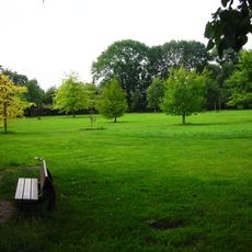
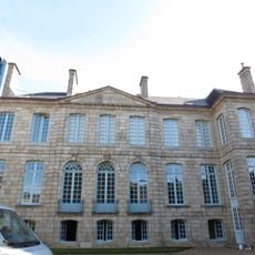
Alençon is an administrative capital in the Orne département of Normandy, located roughly 173 kilometers west of Paris at an elevation of 135 meters. The town sits along the banks of the Sarthe river and features a mix of medieval quarters and modern residential areas spread across several low hills.

History

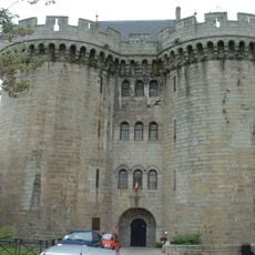
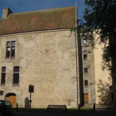
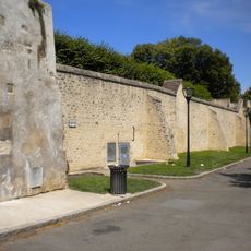
The settlement emerged in the 10th century as a strategic buffer zone between Normandy and Maine and gained ducal status in 1415. During the 17th century, the famous lace industry developed here, bringing economic importance to the town.

Culture

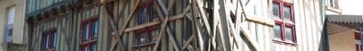
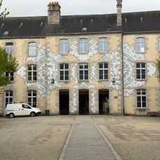
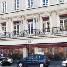
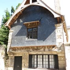
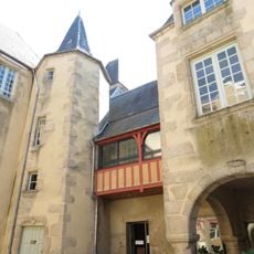
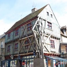
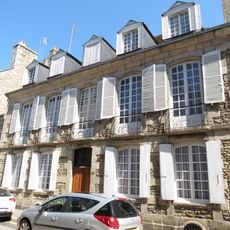
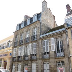
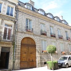
The Musée des Beaux-arts et de la Dentelle presents exhibitions highlighting the local point d'Alençon lace techniques and regional artistic heritage. In the old town, traditional half-timbered houses and narrow lanes recall the centuries-old craft traditions of the settlement.

Practical

The town maintains a functional transport network with access to the A28 motorway, regional trains, and a local bus system. The old center can be explored comfortably on foot, as most points of interest lie within walking distance of each other.

Did you know?

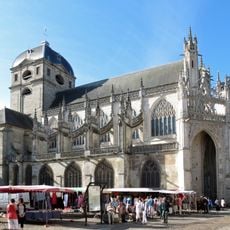
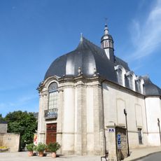
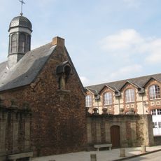
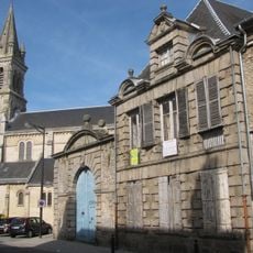
The Basilica of Notre-Dame, registered as a monument since 1862, displays Gothic architecture with finely worked stone carvings and detailed flying buttresses. Inside, colorfully painted glass windows from the 16th century depict scenes from the life of the Virgin Mary.

Location
Elevation above the sea
141 m
Shares border with
Damigny, Cerisé, Condé-sur-Sarthe, Saint-Germain-du-Corbéis, Valframbert, Arçonnay, Saint-Paterne - Le Chevain
Phone
GPS coordinates
48.42972,0.09194
Latest update
December 14, 2025 23:34

AroundUs brings together thousands of curated places, local tips, and hidden gems, enriched daily by 60,000 contributors worldwide. Discover all places nearby (Orne).

« Alençon - Regional administrative center in Normandy, France » is provided by Around Us (aroundus.com). Images and texts are derived from Wikimedia project under a Creative Commons license. You are allowed to copy, distribute, and modify copies of this page, under the conditions set by the license, as long as this note is clearly visible.

Discover hidden gems everywhere you go!

From secret cafés to breathtaking viewpoints, skip the crowded tourist spots and find places that match your style. Our app makes it easy with voice search, smart filtering, route optimization, and insider tips from travelers worldwide. Download now for the complete mobile experience.

Around Us App Screenshot

A unique approach to discovering new places

Le Figaro

All the places worth exploring

France Info

A tailor-made excursion in just a few clicks

20 Minutes

Around Us
Travel Guide & Maps
Download

Send to your phone

QR Code
1

Open the camera app on your mobile.

2

Point at the QR code with your camera. A notification will appear.

3

Tap the notification to open the link.