Enable Location

We need your location to show you interesting places around you

Discover nearby places

Find interesting locations and hidden gems around you

Precise directions

Get accurate directions and distances to places

Your location is never shared with other users. It's only used when you tap the location button.

Saint-Lô

Log in to your account

Start exploring — it's free

Trusted by 61,956 travelers worldwide

Continue with Google
Continue with Apple
or

We will send you a code to connect

By continuing, you accept our Terms and Conditions and our Privacy Policy

Check your inbox

We've sent a pincode in your inbox. Please enter the code below.

Saint-Lô, Administrative center in Normandy, France

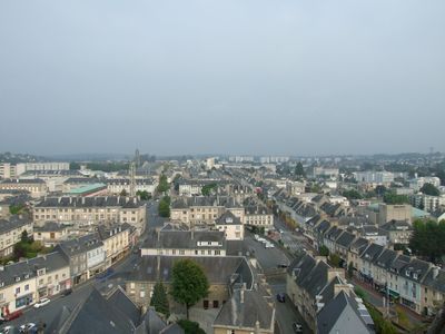
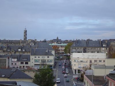
Saint-Lô is an administrative center in Normandy that sits on high ground above the valley of the Vire and overlooks the river below. Narrow streets wind through the rebuilt center, while sections of old ramparts run along several points of the elevated terrain.

The settlement grew during medieval times and received fortifications that were expanded over centuries. Fighting between American troops and German defenders in July 1944 destroyed large parts of the town, which was then rebuilt.

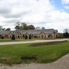
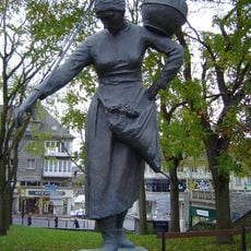
The name comes from Welsh bishop Laudus, who lived during the 6th century and whose memory remains part of the local identity. Horse breeding shapes much of daily life here, with residents often gathering for events and activities related to the stud farm.

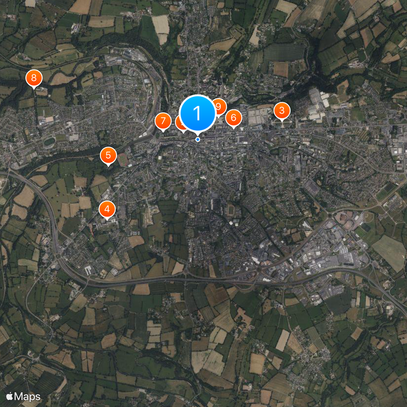
The center can be explored on foot, though some streets climb steeply and sturdy shoes help. Main points of interest lie close together, making a walking route manageable without long distances.

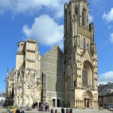
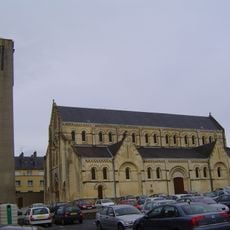
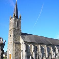
One outer wall of the Notre-Dame church still shows a hole left by a shell in 1944, deliberately kept unrepaired. This gap serves as a visible reminder of destruction and often catches the eye of visitors.

The community of curious travelers

AroundUs brings together thousands of curated places, local tips, and hidden gems, enriched daily by 60,000 contributors worldwide.

Start exploring
Location
Elevation above the sea
68 m
Shares border with
Agneaux, La Barre-de-Semilly, Baudre, La Luzerne, Le Mesnil-Rouxelin, Saint-André-de-l'Épine, Saint-Georges-Montcocq, Saint-Gilles, Canisy, Condé-sur-Vire, Bourgvallées
Phone
GPS coordinates
49.11444,-1.09167
Latest update
December 13, 2025 16:49
« Saint-Lô - Administrative center in Normandy, France » is provided by Around Us (aroundus.com). Images and texts are derived from Wikimedia project under a Creative Commons license. You are allowed to copy, distribute, and modify copies of this page, under the conditions set by the license, as long as this note is clearly visible.

Discover hidden gems everywhere you go!

From secret cafés to breathtaking viewpoints, skip the crowded tourist spots and find places that match your style. Our app makes it easy with voice search, smart filtering, route optimization, and insider tips from travelers worldwide. Download now for the complete mobile experience.

Around Us App Screenshot

A unique approach to discovering new places

Le Figaro

All the places worth exploring

France Info

A tailor-made excursion in just a few clicks

20 Minutes

Around Us
Travel Guide & Maps
Download

Send to your phone

QR Code
1

Open the camera app on your mobile.

2

Point at the QR code with your camera. A notification will appear.

3

Tap the notification to open the link.