Enable Location

We need your location to show you interesting places around you

Discover nearby places

Find interesting locations and hidden gems around you

Precise directions

Get accurate directions and distances to places

Your location is never shared with other users. It's only used when you tap the location button.

Denain

Log in to your account

Start exploring — it's free

Trusted by 62,290 travelers worldwide

Continue with Google
Continue with Apple
or

We will send you a code to connect

By continuing, you accept our Terms and Conditions and our Privacy Policy

Check your inbox

We've sent a pincode in your inbox. Please enter the code below.

Denain, Administrative commune in Nord, France

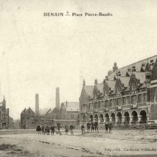
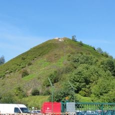
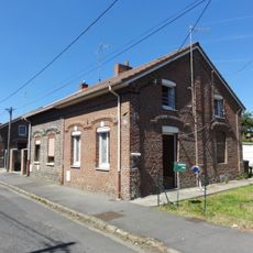
Denain is a commune in the Nord region of northern France with a landscape that varies across different elevations. The town developed around its industrial foundations and remains centered on the historic quarters that grew from these activities.

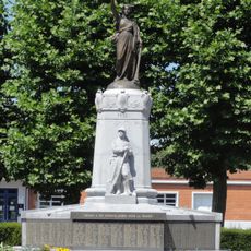
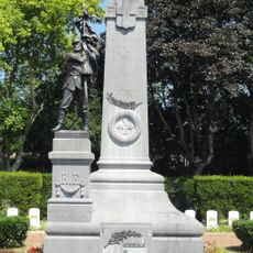
The Battle of Denain in 1712 marked a crucial military moment when Marshal Villars defeated the forces of Prince Eugene of Savoy. This event is commemorated by a monument bearing verses by Voltaire and remains linked to broader French history.

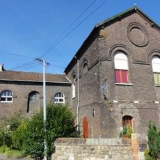
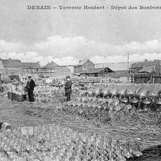
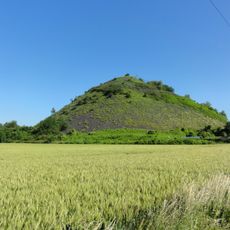
The town reflects its mining and steel-making past that shaped local identity for centuries, from coal extraction starting in 1720 to steel factories opening in 1839. This industrial legacy influenced writers such as Émile Zola who drew on the area for inspiration.

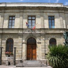
The town hall serves as the main point of contact for visitor information and local services. Walking through the town allows visitors to explore the varied terrain and discover the different neighborhoods that developed around the historic industrial sites.

The town was once a hub of steel production that helped shape the industrial development of northern France. Today visitors can still trace the marks of this industrial past in how the town is organized and built.

The community of curious travelers

AroundUs brings together thousands of curated places, local tips, and hidden gems, enriched daily by 60,000 contributors worldwide.

Start exploring
Location
Elevation above the sea
36 m
Shares border with
Wallers, Wavrechain-sous-Denain, Douchy-les-Mines, Escaudain, Haulchin, Haveluy, Lourches, Oisy
Phone
GPS coordinates
50.32861,3.39500
Latest update
December 20, 2025 00:41
« Denain - Administrative commune in Nord, France » is provided by Around Us (aroundus.com). Images and texts are derived from Wikimedia project under a Creative Commons license. You are allowed to copy, distribute, and modify copies of this page, under the conditions set by the license, as long as this note is clearly visible.

Discover hidden gems everywhere you go!

From secret cafés to breathtaking viewpoints, skip the crowded tourist spots and find places that match your style. Our app makes it easy with voice search, smart filtering, route optimization, and insider tips from travelers worldwide. Download now for the complete mobile experience.

Around Us App Screenshot

A unique approach to discovering new places

Le Figaro

All the places worth exploring

France Info

A tailor-made excursion in just a few clicks

20 Minutes

Around Us
Travel Guide & Maps
Download

Send to your phone

QR Code
1

Open the camera app on your mobile.

2

Point at the QR code with your camera. A notification will appear.

3

Tap the notification to open the link.