Enable Location

We need your location to show you interesting places around you

Discover nearby places

Find interesting locations and hidden gems around you

Precise directions

Get accurate directions and distances to places

Your location is never shared with other users. It's only used when you tap the location button.

Tournon-sur-Rhône

Log in to your account

Start exploring — it's free

Trusted by 62,286 travelers worldwide

Continue with Google
Continue with Apple
or

We will send you a code to connect

By continuing, you accept our Terms and Conditions and our Privacy Policy

Check your inbox

We've sent a pincode in your inbox. Please enter the code below.

Tournon-sur-Rhône

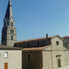
Tournon-sur-Rhône, Medieval commune in northern Ardèche, France

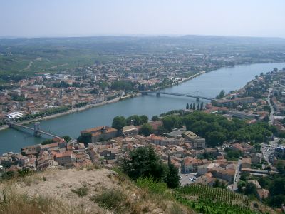
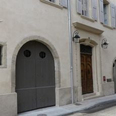
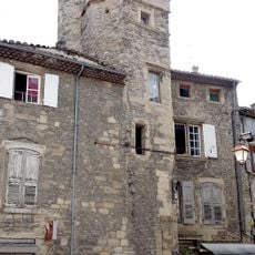
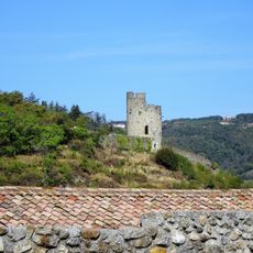
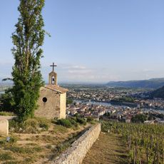
Tournon-sur-Rhône sits on the right bank of the Rhône River, with a castle rising prominently above the town center. Terraced vineyards cover the surrounding hills, creating layers of green and gold throughout the seasons.

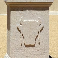
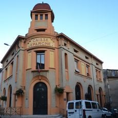
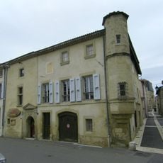
The town took shape in the 9th century during the reign of Louis I and later became a fortress under the control of local noble families. Its location on the Rhône made it a key point for trade and regional influence.

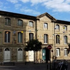
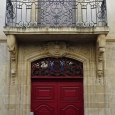
The Lycée Gabriel-Faure displays tapestries from the 17th century sourced from Flanders and Aubusson, which visitors can see when exploring the institution. This collection shapes how locals and travelers understand the town's cultural heritage.

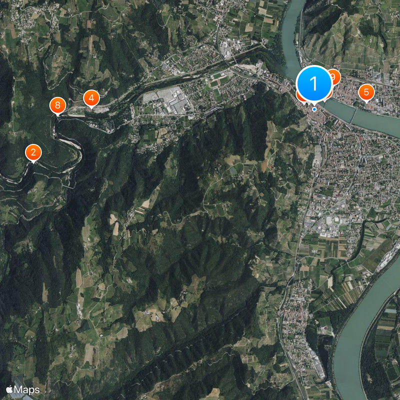
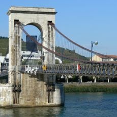
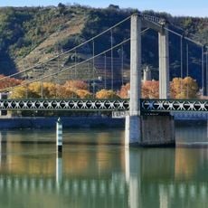
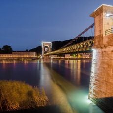
The Passerelle Marc-Seguin pedestrian bridge connects the town to Tain-l'Hermitage across the river, making day trips between towns very easy. Weekly markets held on Wednesday and Saturday mornings let you shop for local produce and goods.

The area produces wines with a distinctive dark color made from Syrah grapes that carry intense berry flavors and aromas. These wines are part of the Saint-Joseph appellation and attract collectors looking for something different from the norm.

The community of curious travelers

AroundUs brings together thousands of curated places, local tips, and hidden gems, enriched daily by 60,000 contributors worldwide.

Start exploring
Location
Elevation above the sea
221 m
Shares border with
Mauves, Plats, Saint-Barthélemy-le-Plain, Saint-Jean-de-Muzols, La Roche-de-Glun, Tain-l'Hermitage, Mercurol-Veaunes
Address
Tournon-sur-Rhône, France
Phone
GPS coordinates
45.06752,4.83285
Latest update
December 19, 2025 22:29
« Tournon-sur-Rhône - Medieval commune in northern Ardèche, France » is provided by Around Us (aroundus.com). Images and texts are derived from Wikimedia project under a Creative Commons license. You are allowed to copy, distribute, and modify copies of this page, under the conditions set by the license, as long as this note is clearly visible.

Discover hidden gems everywhere you go!

From secret cafés to breathtaking viewpoints, skip the crowded tourist spots and find places that match your style. Our app makes it easy with voice search, smart filtering, route optimization, and insider tips from travelers worldwide. Download now for the complete mobile experience.

Around Us App Screenshot

A unique approach to discovering new places

Le Figaro

All the places worth exploring

France Info

A tailor-made excursion in just a few clicks

20 Minutes

Around Us
Travel Guide & Maps
Download

Send to your phone

QR Code
1

Open the camera app on your mobile.

2

Point at the QR code with your camera. A notification will appear.

3

Tap the notification to open the link.