Villefranche-de-Rouergue, Medieval bastide town in Aveyron, France
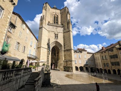
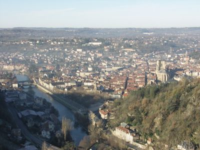
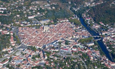
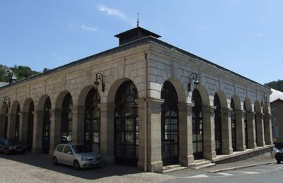
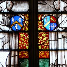
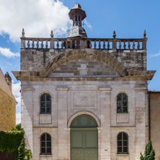
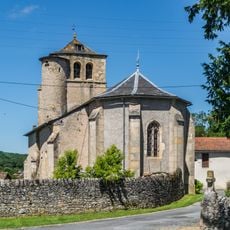
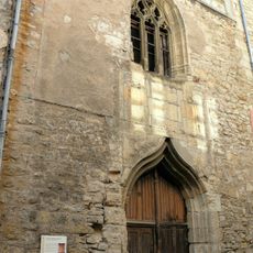
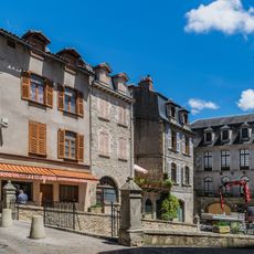
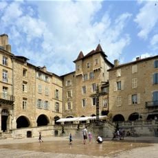
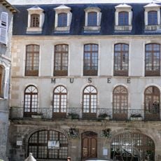
Villefranche-de-Rouergue is a medieval bastide in the Aveyron department of southern France, built around a rectangular main square with covered arcades. The streets run in a right-angled pattern radiating from the center, with the Gothic market hall made of stone forming the tallest structure on the square.
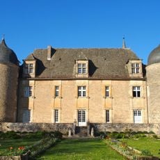
Alphonse de Poitiers, brother of King Louis IX, founded the town in 1252 as a fortified settlement to strengthen royal power in southern France. Over the centuries, the place developed into an important trading center in the Rouergue region while maintaining its medieval layout.
The Thursday market on the central square brings together vendors selling regional products such as local cheeses, fresh vegetables, and traditional crafts from the Aveyron area. The medieval market hall still serves as a meeting point where residents do their weekly shopping and chat under the Gothic arcades.
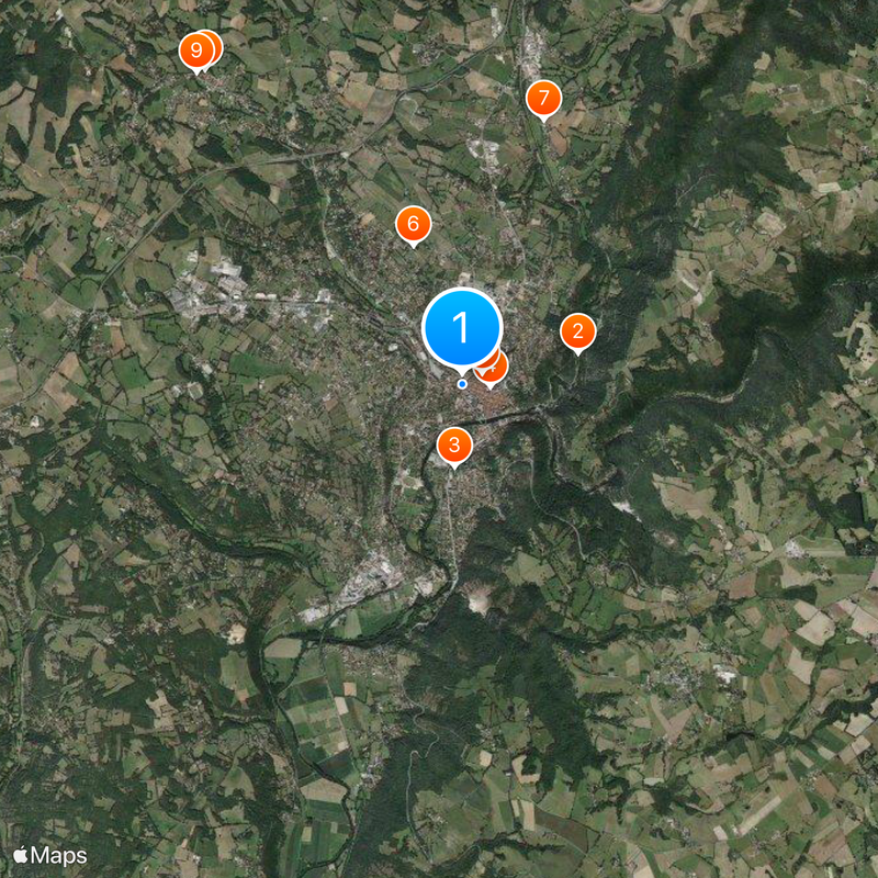
The town can be reached by train with regular connections to Toulouse, Figeac and Aurillac during the week. The central square is just a few minutes' walk from the station, and most attractions are within half an hour on foot.
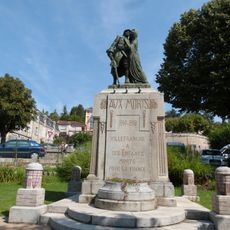
In September 1943, soldiers from the 13th Waffen SS Handschar division rebelled against Nazi forces in the local barracks. This uprising is one of the few documented revolts inside a Waffen SS unit during World War II.
Location: Aveyron
Location: arrondissement of Villefranche-de-Rouergue
Elevation above the sea: 355 m
Shares border with: Maleville, Morlhon-le-Haut, La Rouquette, Saint-Rémy, Sanvensa, Savignac, Toulonjac, Le Bas Ségala
Address: 12200 Villefranche-de-Rouergue, France
Phone: +33565651620
Email: mairie@villefranchederouergue.fr
Website: https://villefranche-de-rouergue.fr
GPS coordinates: 44.35250,2.03417
Latest update: December 13, 2025 19:55
Brive-la-Gaillarde–Toulouse railway
1.3 km
Chartreuse Saint-Sauveur de Villefranche-de-Rouergue
882 m
Collégiale Notre-Dame de Villefranche-de-Rouergue
295 m
Chapelle des pénitents noirs, Villefranche-de-Rouergue
234 m
Château de Graves
1.6 kmChâteau de Veuzac
2.9 km
Château de Toulonjac
4.3 km
Église Saint-Michel de Toulonjac
4.4 km
Église Saint-Jacques de Villefranche-de-Rouergue
279 m
Chateau De Grave
1.5 kmWork of art, sculpture, drinking fountain
211 m
Théâtre municipal de Villefranche-de-Rouergue
449 m
Augustinian church of Villefranche-de-Rouergue
475 m
Église Saint-Ferréol de Morlhon-le-Haut
3.9 km
Église Saint-Amans d'Orlhonac
4.8 km
Place Notre-Dame
269 m
Golf du Totche
2.9 km
Église Saint-Joseph de Villefranche-de-Rouergue
44 m
Monument aux morts de Villefranche-de-Rouergue
44 m
Chapelle Notre-Dame de Treize-Pierres de Villefranche-de-Rouergue
1.2 km
Chapelle des Étrangers de la chartreuse Saint-Sauveur
901 mMaison Soulie
342 mMaison Bouillac
342 m
Fontaine monolithe
237 m
Wayside cross, Catholic church building
4.2 kmMaison Breton
342 mOrgue de tribune de la collégiale Notre-Dame de Villefranche-de-Rouergue
295 m
Musée municipal Urbain Cabrol (Villefranche-de-Rouergue, France)
256 mVisited this place? Tap the stars to rate it and share your experience / photos with the community! Try now! You can cancel it anytime.
Discover hidden gems everywhere you go!
From secret cafés to breathtaking viewpoints, skip the crowded tourist spots and find places that match your style. Our app makes it easy with voice search, smart filtering, route optimization, and insider tips from travelers worldwide. Download now for the complete mobile experience.
A unique approach to discovering new places❞
— Le Figaro
All the places worth exploring❞
— France Info
A tailor-made excursion in just a few clicks❞
— 20 Minutes