Bondy

Log in to your account

AroundUs is a community-driven map of interesting places, built by curious explorers like you. It grows with every review, story, and photo you share.
Connect to save your favorite spots, contribute locations, and create personalized routes.
By continuing, you accept our Terms and Conditions and our Privacy Policy
Add to collection
Map
Suggest a change
Share

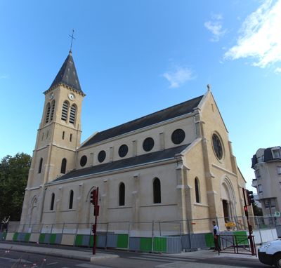
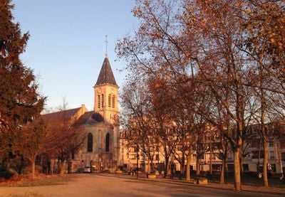
Bondy, Administrative commune in Seine-Saint-Denis, France.

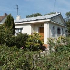
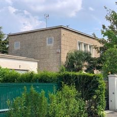
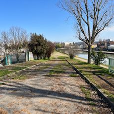
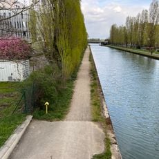
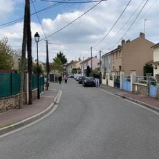
Bondy is a town in the Seine-Saint-Denis department in the Île-de-France region, located roughly eleven kilometers east of central Paris. The municipal territory covers a gently rolling landscape with elevations that vary from about 40 to 65 meters (130 to 210 feet).

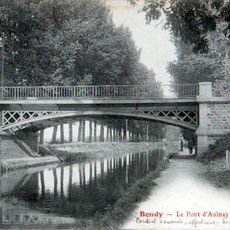
The place name appears around the year 600 in the form Bonitiacum, referring to a Gallo-Roman landowner who once controlled the area. In 1905, a portion of the municipal land was separated to form the independent commune of Les Pavillons-sous-Bois.

The city maintains educational excellence through 27 state-funded primary schools, serving 6,900 students with additional junior and senior institutions.

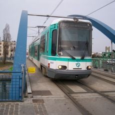
The RER line E stops at Bondy station, providing a direct connection to Paris and the eastern suburbs. Tramway line T4 complements the rail service, linking the town with neighboring communities across the northern metropolitan area.

The Bond'innov program brings together local entrepreneurs and research institutions to develop new business ideas in a shared workspace. This incubator focuses on projects from different sectors emerging in the eastern Paris suburbs.

Location: arrondissement of Bobigny

Location: canton of Bondy-Nord-Ouest

Location: canton of Bondy-Sud-Est

Location: Seine-Saint-Denis

Location: Est Ensemble

Location: Grand Paris

Elevation above the sea: 54 m

Shares border with: Aulnay-sous-Bois, Le Blanc-Mesnil, Bobigny, Drancy, Noisy-le-Sec, Les Pavillons-sous-Bois, Rosny-sous-Bois, Villemomble

Phone: +33148505300

Email: communication@ville-bondy.fr

Website: https://ville-bondy.fr

GPS coordinates: 48.90278,2.48361

Latest update: December 13, 2025 17:05

Photos
Reviews

Visited this place? Tap the stars to rate it and share your experience / photos with the community! Try now! You can cancel it anytime.

« Bondy - Administrative commune in Seine-Saint-Denis, France » is provided by Around Us (aroundus.com). Images and texts are derived from Wikimedia project under a Creative Commons license. You are allowed to copy, distribute, and modify copies of this page, under the conditions set by the license, as long as this note is clearly visible.

Discover hidden gems everywhere you go!

From secret cafés to breathtaking viewpoints, skip the crowded tourist spots and find places that match your style. Our app makes it easy with voice search, smart filtering, route optimization, and insider tips from travelers worldwide. Download now for the complete mobile experience.

Around Us App Screenshot

A unique approach to discovering new places

Le Figaro

All the places worth exploring

France Info

A tailor-made excursion in just a few clicks

20 Minutes