
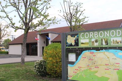
Corbonod, commune in Ain, France
Location: Ain
Location: arrondissement of Belley
Elevation above the sea: 736 m
Shares border with: Anglefort, , Bassy, Seyssel, Haut Valromey
Phone: +33450561830
Email: contact@mairie-corbonod.fr
Website: https://corbonod.fr
GPS coordinates: 45.96972,5.81028
Latest update: May 26, 2025 16:47
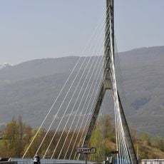
Pont de Seyssel
2.7 km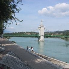
Vieux pont suspendu de Seyssel
2.1 km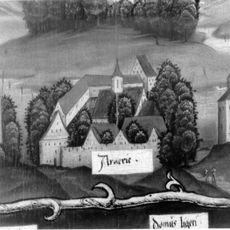
Chartreuse d'Arvières
5.8 km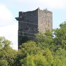
Château de Dorches
3.2 km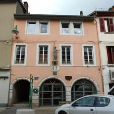
Former town hall of Seyssel
2 km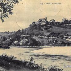
Château de Bassy
2 km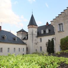
Château de Quinsonnas
4.4 km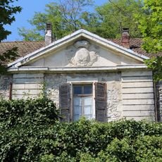
Grenier à sel de Surjoux
5.7 km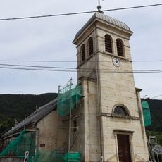
Église de l'Annonciation de Brénaz
7.2 km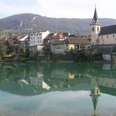
Église Saint-Blaise de Seyssel
2.2 km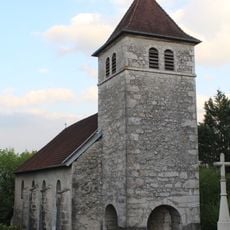
Église Saint-Victor de Chanay
4.4 km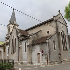
Église Saint-François-de-Sales de Seyssel
2.1 km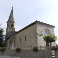
Église Saint-Didier d'Usinens
5 km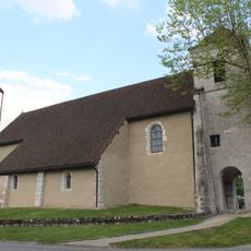
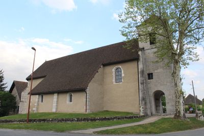
Église Saint-Maurice de Corbonod
879 m
Syndicat Intercommunal d'Electricité et de Services de Seyssel
2.3 km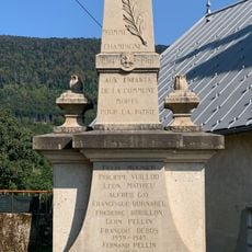
War memorial of Brénaz
7.2 km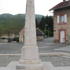
War memorial of Chanay
4.4 km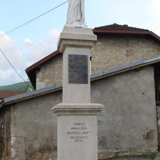
Franco-Prussian war memorial of Chanay
4.5 km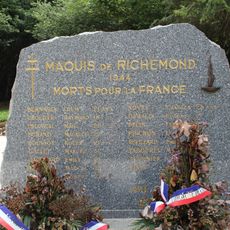
War memorial of Maquis in Richemond
6.4 km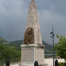
War memorial of Seyssel
2.2 km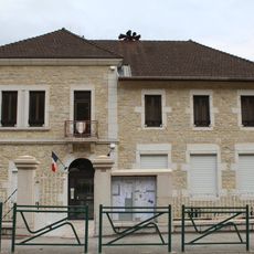
Mairie d'Anglefort
6.2 km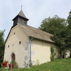
Chapelle Sainte-Agathe de Sothonod
6.5 km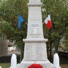
War memorial of Anglefort
6.2 km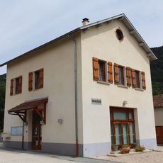
Town hall of Brénaz
7.2 km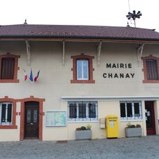
Town hall of Chanay
4.4 km
Town hall of Corbonod
17 m
War memorial of Corbonod
112 m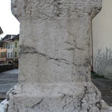
Croix de l'église de Seyssel
2.2 kmReviews
Visited this place? Tap the stars to rate it and share your experience / photos with the community! Try now! You can cancel it anytime.
Discover hidden gems everywhere you go!
From secret cafés to breathtaking viewpoints, skip the crowded tourist spots and find places that match your style. Our app makes it easy with voice search, smart filtering, route optimization, and insider tips from travelers worldwide. Download now for the complete mobile experience.

A unique approach to discovering new places❞
— Le Figaro
All the places worth exploring❞
— France Info
A tailor-made excursion in just a few clicks❞
— 20 Minutes