Enable Location

We need your location to show you interesting places around you

Discover nearby places

Find interesting locations and hidden gems around you

Precise directions

Get accurate directions and distances to places

Your location is never shared with other users. It's only used when you tap the location button.

Draveil

Log in to your account

Start exploring — it's free

Trusted by 63,034 travelers worldwide

Continue with Google
Continue with Apple
or

We will send you a code to connect

By continuing, you accept our Terms and Conditions and our Privacy Policy

Check your inbox

We've sent a pincode in your inbox. Please enter the code below.

Discussion Reviews 1 Photos
33.8k Popularity

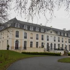
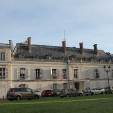
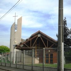
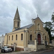
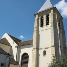
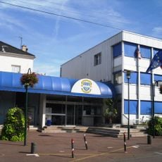
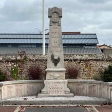
Draveil, Commune in Essonne, France

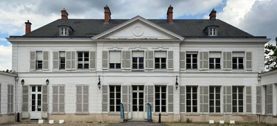
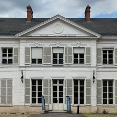
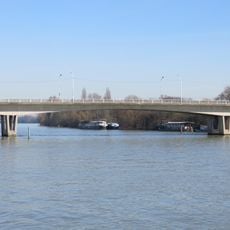
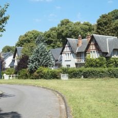
Draveil is a suburban commune situated along the right bank of the Seine River between the waterway and the Forest of Sénart. The town combines residential neighborhoods with natural spaces and sits approximately 19 kilometers southwest of Paris.

The town's name evolved from the Gaulish word Dracvern to the Roman form Dravernum during ancient times. In the early medieval period, the settlement became an important center for minting coins under the Merovingian rulers.

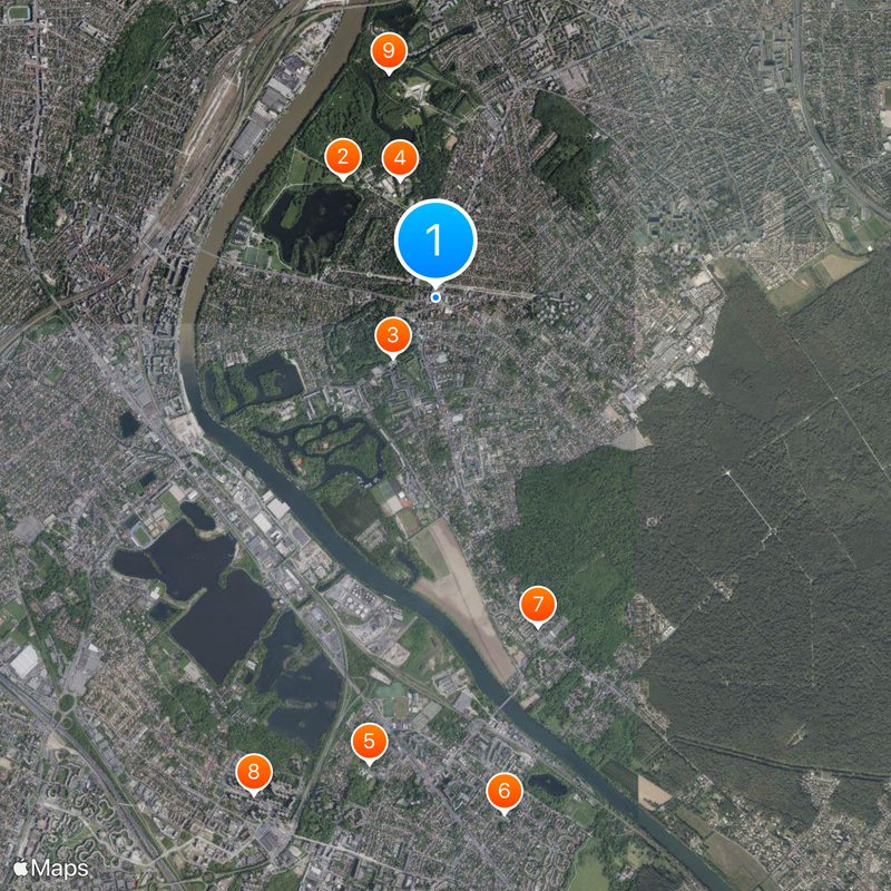
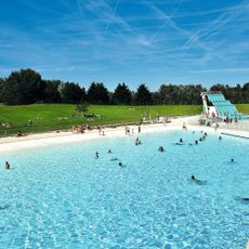
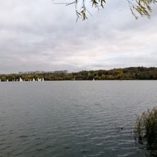
The Base de Loisirs du Port-aux-Cerises recreation area serves as a gathering place where residents enjoy outdoor activities by the lakes and green spaces year-round. This leisure park reflects how people here value access to nature near their homes.

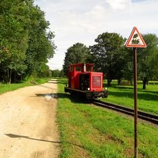
The commune provides schools at all levels, from preschool through secondary education, serving local families well. Access to both the river and the forest offers many opportunities for outdoor recreation and leisure activities.

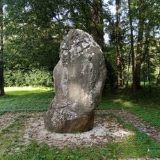
Archaeological evidence shows humans lived in this area as far back as the Neolithic period. The Pierre à Mousseaux menhir and ancient flint tools found here stand as reminders of that ancient occupation.

The community of curious travelers

AroundUs brings together thousands of curated places, local tips, and hidden gems, enriched daily by 60,000 contributors worldwide.

Start exploring
Location
Elevation above the sea
61 m
Shares border with
Vigneux-sur-Seine, Athis-Mons, Ris-Orangis, Grigny, Juvisy-sur-Orge, Montgeron, Soisy-sur-Seine, Viry-Châtillon
Phone
GPS coordinates
48.68611,2.40944
Latest update
December 19, 2025 23:20
Reviews
Share your experience

No review yet

Discussions
Start a discussion...

No discussion yet

« Draveil - Commune in Essonne, France » is provided by Around Us (aroundus.com). Images and texts are derived from Wikimedia project under a Creative Commons license. You are allowed to copy, distribute, and modify copies of this page, under the conditions set by the license, as long as this note is clearly visible.

Discover hidden gems everywhere you go!

From secret cafés to breathtaking viewpoints, skip the crowded tourist spots and find places that match your style. Our app makes it easy with voice search, smart filtering, route optimization, and insider tips from travelers worldwide. Download now for the complete mobile experience.

Around Us App Screenshot

A unique approach to discovering new places

Le Figaro

All the places worth exploring

France Info

A tailor-made excursion in just a few clicks

20 Minutes

Around Us
Travel Guide & Maps
Download

Send to your phone

QR Code
1

Open the camera app on your mobile.

2

Point at the QR code with your camera. A notification will appear.

3

Tap the notification to open the link.