Enable Location

We need your location to show you interesting places around you

Discover nearby places

Find interesting locations and hidden gems around you

Precise directions

Get accurate directions and distances to places

Your location is never shared with other users. It's only used when you tap the location button.

Lapeyrugue

Log in to your account

Start exploring — it's free

Trusted by 62,407 travelers worldwide

Continue with Google
Continue with Apple
or

We will send you a code to connect

By continuing, you accept our Terms and Conditions and our Privacy Policy

Check your inbox

We've sent a pincode in your inbox. Please enter the code below.

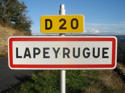
Lapeyrugue, Rural commune in Cantal, France

Lapeyrugue is a small rural commune in the canton of Montsalvy within Cantal in central France. The village sits among rolling terrain ranging from 272 to 735 meters in elevation and belongs to the Aurillac district.

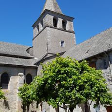
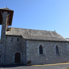
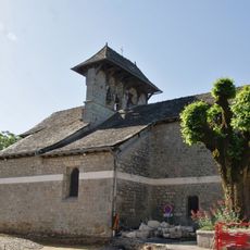
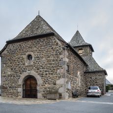
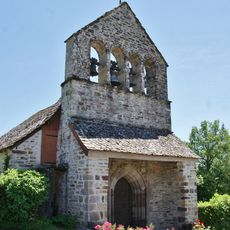
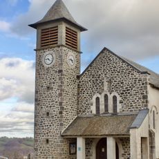
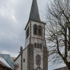
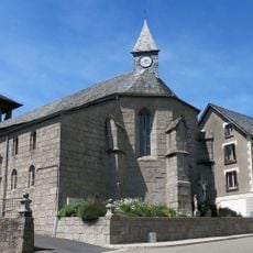
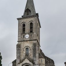
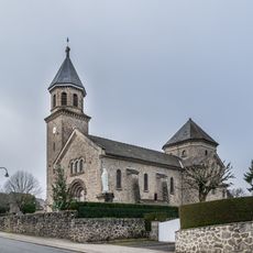
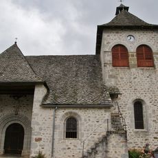
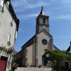
The village church was built in two phases during the 1800s, with the main structure completed in 1847 and the bell tower added seventeen years later. This staged construction reflects how the community developed its religious center over time.

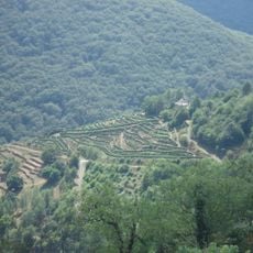
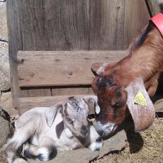
The territory maintains traditional agricultural practices through ten active farms that characterize the local identity of the Cantal department.

Visitors interested in local information can find the town hall open on Mondays and Fridays during regular business hours. Planning your visit outside the main farming season offers a more relaxed way to explore the village and surrounding landscape.

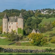
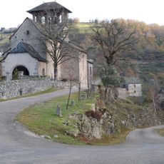
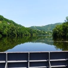
The village entrance frames a wide view of the Goul Valley revealing the landscape's varied features. Many travelers pass through without realizing this vantage point offers one of the better perspectives on the Montsalvy canton's terrain.

The community of curious travelers

AroundUs brings together thousands of curated places, local tips, and hidden gems, enriched daily by 60,000 contributors worldwide.

Start exploring
Location
Industry
administration publique générale
Shares border with
Murols, Saint-Hippolyte, Labesserette, Ladinhac, Montsalvy
Phone
GPS coordinates
44.72861,2.54306
Latest update
December 14, 2025 18:41
« Lapeyrugue - Rural commune in Cantal, France » is provided by Around Us (aroundus.com). Images and texts are derived from Wikimedia project under a Creative Commons license. You are allowed to copy, distribute, and modify copies of this page, under the conditions set by the license, as long as this note is clearly visible.

Discover hidden gems everywhere you go!

From secret cafés to breathtaking viewpoints, skip the crowded tourist spots and find places that match your style. Our app makes it easy with voice search, smart filtering, route optimization, and insider tips from travelers worldwide. Download now for the complete mobile experience.

Around Us App Screenshot

A unique approach to discovering new places

Le Figaro

All the places worth exploring

France Info

A tailor-made excursion in just a few clicks

20 Minutes

Around Us
Travel Guide & Maps
Download

Send to your phone

QR Code
1

Open the camera app on your mobile.

2

Point at the QR code with your camera. A notification will appear.

3

Tap the notification to open the link.