
Charcenne, commune in Haute-Saône, France
Location: Haute-Saône
Location: arrondissement of Vesoul
Elevation above the sea: 272 m
Shares border with: Gy, Autoreille, Avrigney-Virey, Cugney, Colombine
Phone: +33384329708
Email: mairie.charcenne@orange.fr
GPS coordinates: 47.37167,5.77639
Latest update: June 11, 2025 07:27
Château de Gy
4.5 km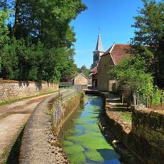
Colombine
877 m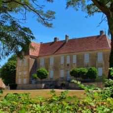
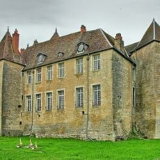
Château de Villefrancon
4.1 km
Château de Choye
2.6 km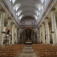
Église Saint-Symphorien de Gy
4.5 km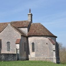
Chapelle Notre-Dame de Leffond
884 m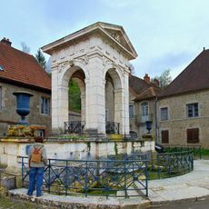
Grande fontaine de Gy
4.6 km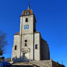
Église Saint-Étienne d'Avrigney-Virey
3.9 km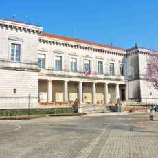
Gy town hall
4.9 km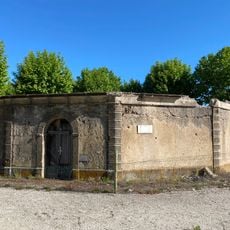
Lavoir de Gy
4.7 km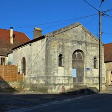
Four banal
4.1 km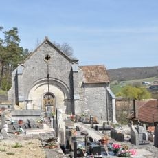
Chapelle du cimetière de Charcenne
320 m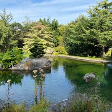
Jardin Acorus
2.3 km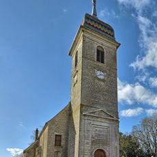
Église Saint-Valère de Cugney
4.3 km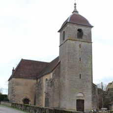
Église Saint-Pierre de Tromarey
5.7 km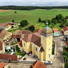
Église Saint-Martin de Courcuire
4.9 km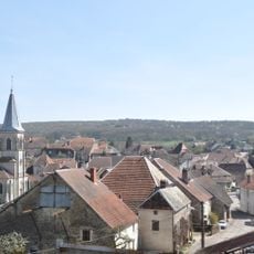
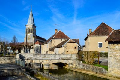
Église Notre-Dame-de-l'Assomption de Charcenne
57 m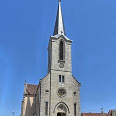
Église de la Nativité-de-Notre-Dame de Velloreille-lès-Choye
3.8 km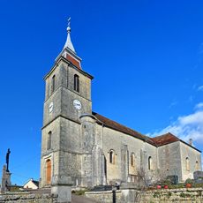
Église Saint-Désiré de Choye
2.5 km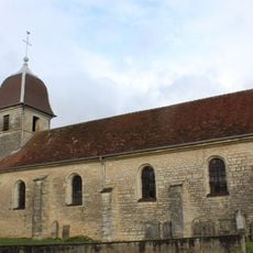
Église Saint-Nicolas de Bonboillon
6.7 km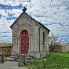
Chapelle du cimetière de Villefrancon
4.7 km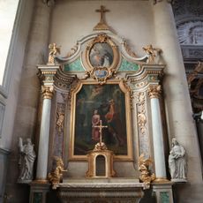
Saint Barbara altar of Église Saint-Symphorien de Gy
4.6 km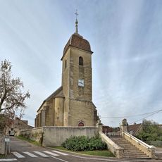
Église Sainte-Cécile d'Autoreille
2.5 km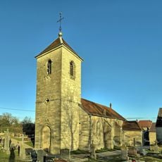
Église Saint-Léger de Virey
3.9 km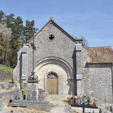
Chapelle du cimetière de Charcenne
321 m
Saint Lawrence altar of Église Saint-Symphorien de Gy
4.5 km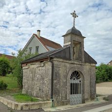
Chapelle Saint-Jacques de Charcenne
431 m
Main altar of Église Saint-Symphorien de Gy
4.6 kmReviews
Visited this place? Tap the stars to rate it and share your experience / photos with the community! Try now! You can cancel it anytime.
Discover hidden gems everywhere you go!
From secret cafés to breathtaking viewpoints, skip the crowded tourist spots and find places that match your style. Our app makes it easy with voice search, smart filtering, route optimization, and insider tips from travelers worldwide. Download now for the complete mobile experience.

A unique approach to discovering new places❞
— Le Figaro
All the places worth exploring❞
— France Info
A tailor-made excursion in just a few clicks❞
— 20 Minutes