
Campestre-et-Luc, commune in Gard, France
Location: canton of Alzon
Location: Gard
Location: arrondissement of Le Vigan
Elevation above the sea: 746 m
Shares border with: La Couvertoirade, Sauclières, Vissec, Alzon, Blandas, Le Cros, Sorbs
Phone: +33467820135
Email: mairie-campestre@orange.fr
GPS coordinates: 43.95306,3.41972
Latest update: May 27, 2025 02:12
Cirque de Navacelles
10.2 km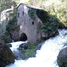
Vis Spring
7.8 km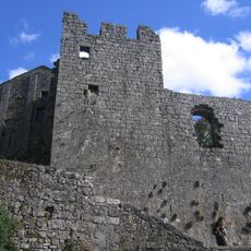
Castle, La Couvertoirade
9.4 km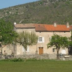
Castle of Vissec
6.7 km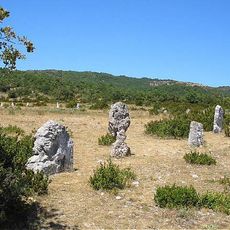
Cromlech de Lacam de Peyrarines
9.4 km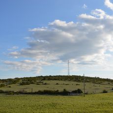
Cromlech de Lacam de la Rigalderie
6.4 km
Église Saint-Christol de La Couvertoirade
9.3 km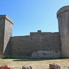
Old walls of La Couvertoirade
9.4 km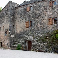
Presbytère, La Couvertoirade
9.3 km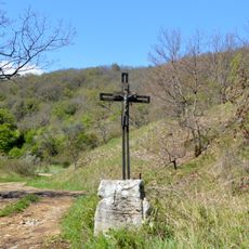
Menhir du Col d'Aurières
4.2 km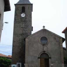
Église de l'Assomption de Sauclières
4.9 km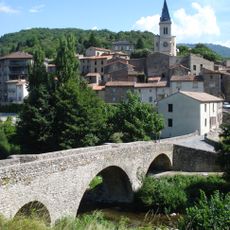
Église Saint-Blaise d'Arre
8.1 km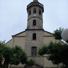
Église de Saint-Jean-Baptiste de Saint-Jean-du-Bruel
9.2 km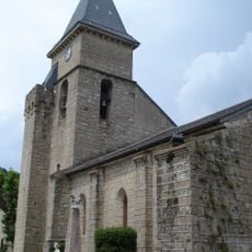
Église Saint-Martin d'Alzon
2.1 km
Notre-Dame de la Sentinelle
9.5 km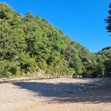
Aire de la Roque
8.8 km
Pont Vieux de Saint-Jean-du-Bruel
9.4 km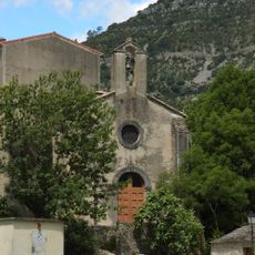
Église de l'Assomption de Navacelles
9.7 km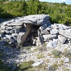
Dolmen de Montaymat
10.1 km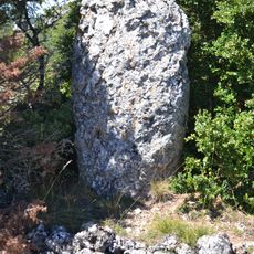
Menhir de Montaymat
10.4 km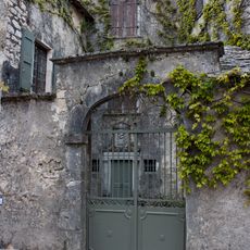
De Grailhe Mansion
9.4 km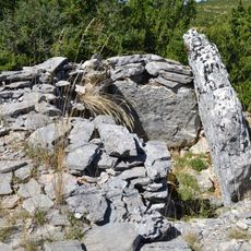
Dolmen de Serre Plumat
9.8 km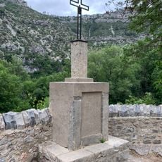
Croix de la Cascade de Navacelles
9.8 km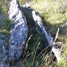
Dolmen de la Combe Redonde 1
8.6 km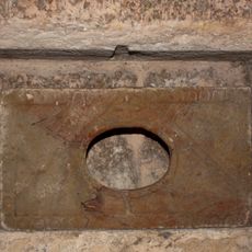
Reliquary, Saint Cristol's church in La Couvertoirade,
9.3 km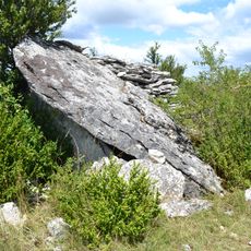
Dolmen de Viste 2
10.2 km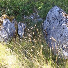
Dolmen de la Ferrière
10.7 km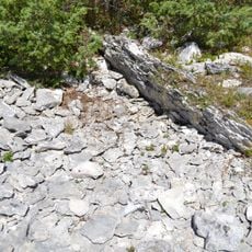
Dolmen de Viste 1
10.1 kmReviews
Visited this place? Tap the stars to rate it and share your experience / photos with the community! Try now! You can cancel it anytime.
Discover hidden gems everywhere you go!
From secret cafés to breathtaking viewpoints, skip the crowded tourist spots and find places that match your style. Our app makes it easy with voice search, smart filtering, route optimization, and insider tips from travelers worldwide. Download now for the complete mobile experience.

A unique approach to discovering new places❞
— Le Figaro
All the places worth exploring❞
— France Info
A tailor-made excursion in just a few clicks❞
— 20 Minutes