Enable Location

We need your location to show you interesting places around you

Discover nearby places

Find interesting locations and hidden gems around you

Precise directions

Get accurate directions and distances to places

Your location is never shared with other users. It's only used when you tap the location button.

Embrun

Log in to your account

Join the adventure

Create your free account and start exploring (like 60k+ others)

We will send you a code to connect

or
Continue with Google
Continue with Apple
By continuing, you accept our Terms and Conditions and our Privacy Policy

Check your inbox

We've sent a pincode in your inbox. Please enter the code below.

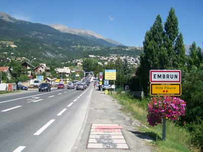
Embrun, Administrative center in Hautes-Alpes, France

Description

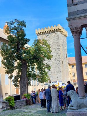
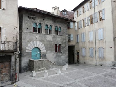
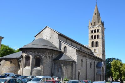
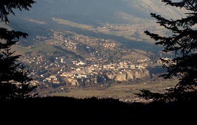
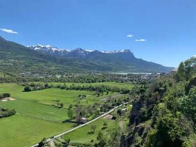
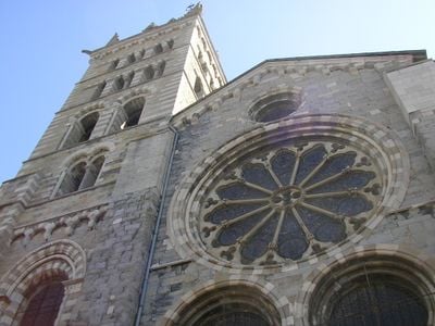
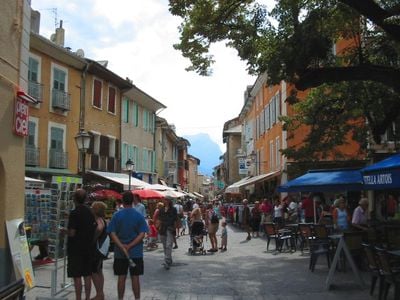
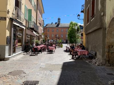
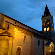
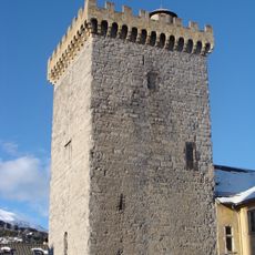
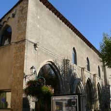
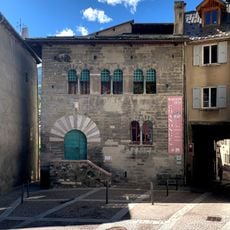
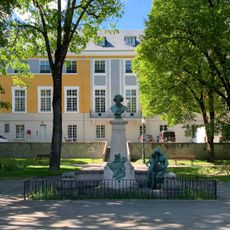
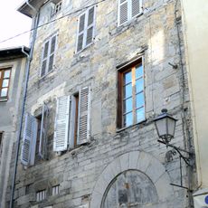
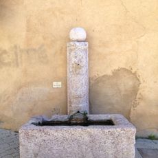
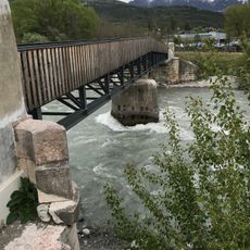
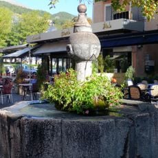
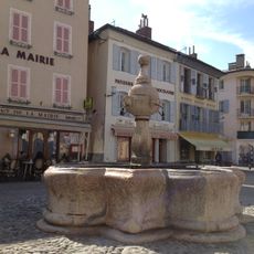
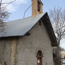
Embrun is a mountain town in the Hautes-Alpes in southeastern France, sitting on a plateau surrounded by higher peaks. The settlement features a historic core with medieval streets and a large cathedral that rises above the surrounding buildings.

History

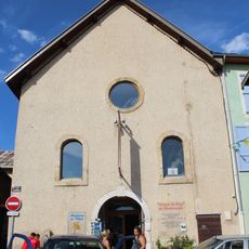
The location dates to ancient times as Ebrodunum and served as a key administrative center in this Alpine region. In medieval times it became a religious power center when a bishopric was established, and this role shaped development for centuries afterward.

Culture

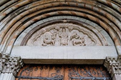
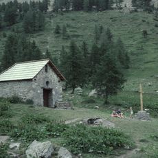
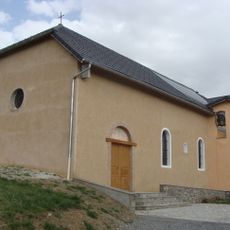
The cathedral here holds religious significance as a gathering place and reflects centuries of faith in this mountain region. Local traditions remain tied to the Alpine landscape and the seasonal rhythms that shape daily life.

Practical

The train station connects to larger cities and allows visitors to explore neighboring valleys by car. The best time to visit is summer and early fall when weather is stable and mountain roads are easily passable.

Did you know?

The Embrunman triathlon takes place here, a demanding competition that draws athletes from across Europe to race through the mountains and lakes of this region. The town has become known among sports enthusiasts for hosting outdoor events in an authentic Alpine setting.

Location
Elevation above the sea
1,421 m
Shares border with
Baratier, Châteauroux-les-Alpes, Crots, Puy-Saint-Eusèbe, Puy-Sanières, Réallon, Saint-André-d'Embrun, Saint-Sauveur
Address
05200 Embrun, France
Phone
GPS coordinates
44.56500,6.49528
Latest update
December 13, 2025 02:25

AroundUs brings together thousands of curated places, local tips, and hidden gems, enriched daily by 60,000 contributors worldwide. Discover all places nearby (Hautes-Alpes).

The large lakes of Provence-Alpes-Côte d'Azur

The Provence-Alpes-Côte d'Azur region has many lakes spreading from the Southern Alps to the Verdon gorge. Serre-Ponçon Lake covers about 28 km² and features sandy beaches and small coves tucked between forests. Sainte-Croix Lake is France's third-largest lake. High-altitude lakes like Allos and...

« Embrun - Administrative center in Hautes-Alpes, France » is provided by Around Us (aroundus.com). Images and texts are derived from Wikimedia project under a Creative Commons license. You are allowed to copy, distribute, and modify copies of this page, under the conditions set by the license, as long as this note is clearly visible.

Discover hidden gems everywhere you go!

From secret cafés to breathtaking viewpoints, skip the crowded tourist spots and find places that match your style. Our app makes it easy with voice search, smart filtering, route optimization, and insider tips from travelers worldwide. Download now for the complete mobile experience.

Around Us App Screenshot

A unique approach to discovering new places

Le Figaro

All the places worth exploring

France Info

A tailor-made excursion in just a few clicks

20 Minutes

Around Us
Travel Guide & Maps
Download

Send to your phone

QR Code
1

Open the camera app on your mobile.

2

Point at the QR code with your camera. A notification will appear.

3

Tap the notification to open the link.