Pointe du Hoc, Cape and cliff in Cricqueville-en-Bessin, Calvados, France
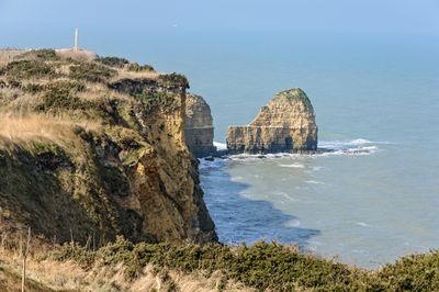
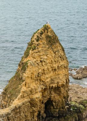
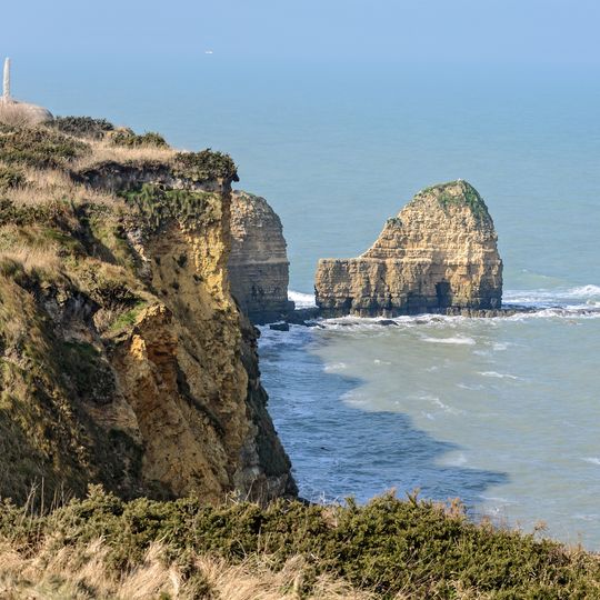
Pointe du Hoc is a promontory on the Normandy coast whose cliff drops about 30 metres to the English Channel, with a narrow rock needle standing in the water before it. The cliff top is broken by concrete casemates, open gun pits and a H636 observation bunker built by the Germans. A single bird often perches on the needle's blunt summit.
The Germans fortified this cliff top as Stützpunkt 75 from 1943, mounting six captured French 155 mm guns in open concrete pits. In April 1944 Allied bombing damaged some pieces, and the intact guns were moved 1,300 m inland; dummy guns were left in the pits. On 6 June 1944, 225 Rangers under Lieutenant Colonel James Earl Rudder scaled the 25–35 m cliff and held the position.
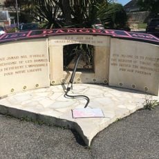
The name Hoc comes from the Old English hōc, meaning a point of land or cape, a term also found in other Norman place names. Each June 6, ceremonies at the site mark the D-Day assault, and the Rangers' scaling of the cliff is re-enacted and commemorated by veterans' groups and officials.
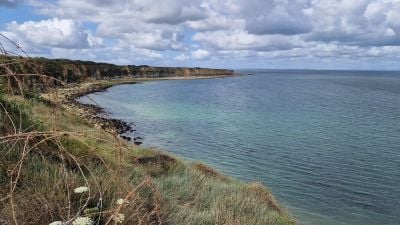
The site lies on the coast of Cricqueville-en-Bessin, between Utah Beach to the west and Omaha Beach to the east, about 6.5 km from the centre of Omaha Beach. Visitors walk the clifftop paths past the concrete casemates and gun pits; the ground is uneven and the cliff edge is unfenced, so keep to the marked paths. The cliff stands 25 to 35 metres above a pebble beach about ten metres wide at its foot.
The guns the Rangers scaled the cliffs to destroy were no longer there: in the night of 25–26 April 1944 the Germans moved the intact pieces 1,300 m inland into a sunken lane and set up dummy guns in the empty pits. Around 380 tonnes of bombs fell on the point before D-Day.
The community of curious travelers
AroundUs brings together thousands of curated places, local tips, and hidden gems, enriched daily by 92,767 contributors worldwide.