Saint-Jean-d'Angély

Log in to your account

AroundUs is a community-driven map of interesting places, built by curious explorers like you. It grows with every review, story, and photo you share.
Connect to save your favorite spots, contribute locations, and create personalized routes.
Continue with Google
Continue with Apple
Continue with X
Continue with Facebook
Continue with email
By continuing, you accept our Terms and Conditions and our Privacy Policy
Create an account
Add to collection
Map
Suggest a change
Share

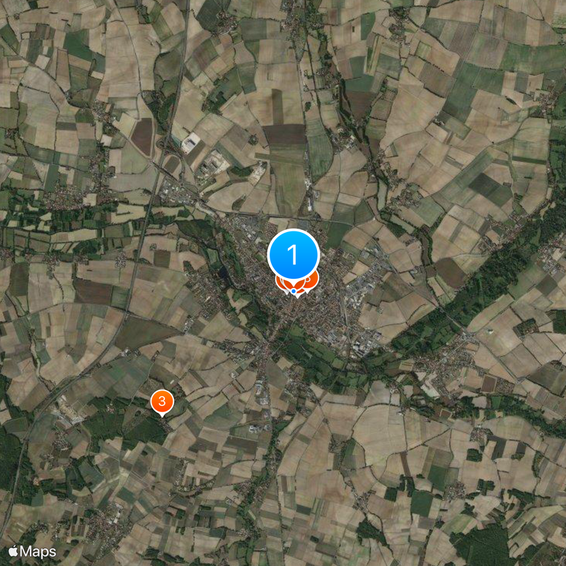
Saint-Jean-d'Angély, Administrative center in Charente-Maritime, France.

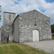
Saint-Jean-d'Angély is a French town in Charente-Maritime centered around the ruins of a Benedictine abbey that dominates its architecture and layout. Its streets contain half-timbered houses from different periods, while market squares and fountains give the center its everyday character.

The town began as a 9th-century settlement and grew into a major pilgrimage hub on the Road to Santiago de Compostela, prompting the construction of the Royal Abbey. This sacred destination shaped the region's growth for centuries and brought regular travelers through its streets.

The former abbey still shapes how residents and visitors experience the town center, serving as a focal point where community gatherings and cultural events take place. Its presence gives the streets around it a meditative quality that reflects centuries of religious significance.

The town center is easy to navigate on foot with main sites within short walking distances of each other. The tourist information office can provide maps and suggest routes that help visitors discover the layout and local highlights without getting lost.

The town has restored dry meadows to protect rare plant and animal species, showing how historical places can pursue modern environmental goals. Visitors can encounter this ecological diversity during walks around the town edges.

Location: Charente-Maritime

Location: arrondissement of Saint-Jean-d'Angély

Elevation above the sea: 31 m

Shares border with: Asnières-la-Giraud, Courcelles, Mazeray, Saint-Julien-de-l'Escap, Ternant, La Vergne, Essouvert

Address: 17400 Saint-Jean-d'Angély, France

Phone: +33546595656

Email: ville@angely.net

Website: http://angely.net

GPS coordinates: 45.94417,-0.52111

Latest update: December 14, 2025 20:29

Photos
Reviews

Visited this place? Tap the stars to rate it and share your experience / photos with the community! Try now! You can cancel it anytime.

« Saint-Jean-d'Angély - Administrative center in Charente-Maritime, France » is provided by Around Us (aroundus.com). Images and texts are derived from Wikimedia project under a Creative Commons license. You are allowed to copy, distribute, and modify copies of this page, under the conditions set by the license, as long as this note is clearly visible.

Discover hidden gems everywhere you go!

From secret cafés to breathtaking viewpoints, skip the crowded tourist spots and find places that match your style. Our app makes it easy with voice search, smart filtering, route optimization, and insider tips from travelers worldwide. Download now for the complete mobile experience.

Around Us App Screenshot

A unique approach to discovering new places

Le Figaro

All the places worth exploring

France Info

A tailor-made excursion in just a few clicks

20 Minutes