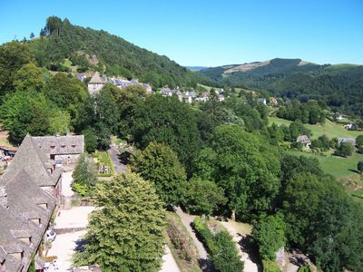
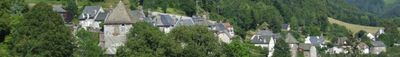
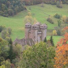
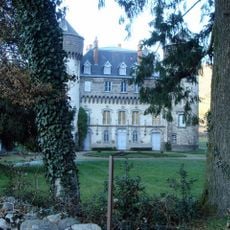
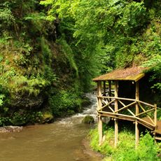
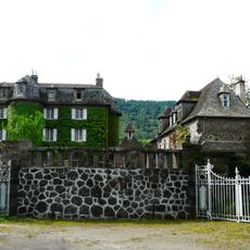
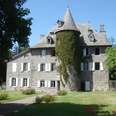
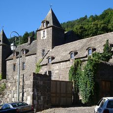
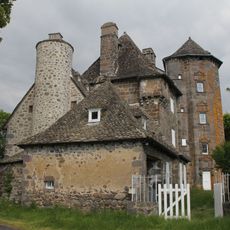
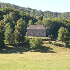
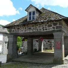
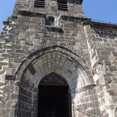
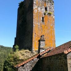
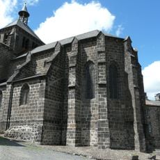
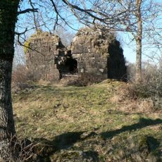
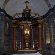
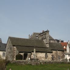
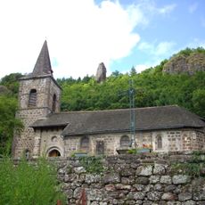
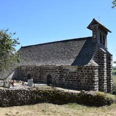
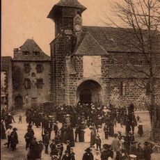
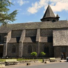
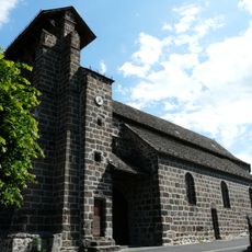
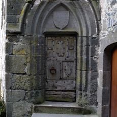
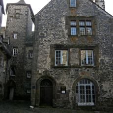
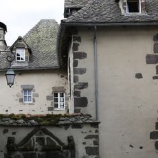
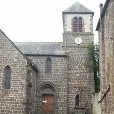
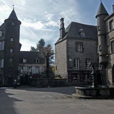
Tournemire, commune in Cantal, France
Location: canton of Saint-Cernin
Location: Cantal
Location: arrondissement of Aurillac
Elevation above the sea: 856 m
Shares border with: Girgols, Saint-Cernin, Saint-Projet-de-Salers
Phone: +33471476134
Email: tournemire3@wanadoo.fr
GPS coordinates: 45.05444,2.48222
Latest update: May 30, 2025 09:43
Château d'Anjony
324 m
Château de Sedaiges
5.9 km
Gorges de la Jordanne
8.3 km
Château de La Voulte
5.5 km
Château de Labeau
8.5 km
Château de Lamargé
6.9 km
Château de Ragheaud
7 km
Château d'Estang
6.1 km
Halle de Saint-Martin-Valmeroux
8.2 km
Église Saint-Jean-Baptiste de Tournemire
116 m
Marze Keep
3.1 km
Église Saint-Martin de Saint-Martin-Valmeroux
8.3 km
Tour de Falhiès
8.1 km
Église Saint-Rémi de Lascelle
8.1 km
Église Saint-Cyr-et-Sainte-Julitte de Saint-Cirgues-de-Jordanne
8.3 km
Maison Escure
9.3 km
Maison Bertrandy
9.3 km
Église Saint-Pardoux de Laroquevieille
4.8 km
Église de la Nativité-de-la-Vierge de Girgols
1.7 km
Église Saint-Cernin de Saint-Cernin
4.8 km
Église Saint-Vincent de Fontanges
6.8 km
Église Saint-Saturnin de Marmanhac
5.7 km
House, Templar's street, in Salers
9.3 km
Templars' house
9.3 km
Château de la Bastide
9.3 km
Église Saint-Armand de Saint-Chamant
5.2 km
Chapelle monolithique Saint-Michel de Fontanges
7.1 km
De Lafarge house
9.3 kmReviews
Visited this place? Tap the stars to rate it and share your experience / photos with the community! Try now! You can cancel it anytime.
Discover hidden gems everywhere you go!
From secret cafés to breathtaking viewpoints, skip the crowded tourist spots and find places that match your style. Our app makes it easy with voice search, smart filtering, route optimization, and insider tips from travelers worldwide. Download now for the complete mobile experience.
A unique approach to discovering new places❞
— Le Figaro
All the places worth exploring❞
— France Info
A tailor-made excursion in just a few clicks❞
— 20 Minutes