Enable Location

We need your location to show you interesting places around you

Discover nearby places

Find interesting locations and hidden gems around you

Precise directions

Get accurate directions and distances to places

Your location is never shared with other users. It's only used when you tap the location button.

Lestards

Log in to your account

Start exploring — it's free

Trusted by 61,550 travelers worldwide

Continue with Google
Continue with Apple
or

We will send you a code to connect

By continuing, you accept our Terms and Conditions and our Privacy Policy

Check your inbox

We've sent a pincode in your inbox. Please enter the code below.

Lestards, Rural commune in Corrèze department, France.

Description

Lestards covers approximately 18.52 square kilometers with around 115 residents, positioned at an average elevation of 706 meters above sea level within the varied landscape of the Nouvelle-Aquitaine region.

History

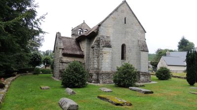
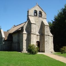
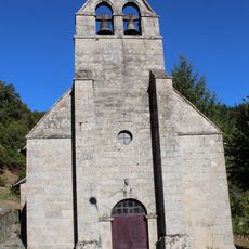
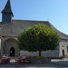
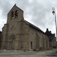
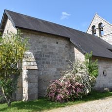
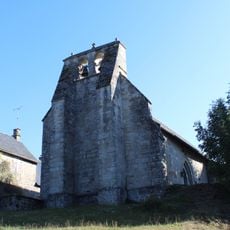
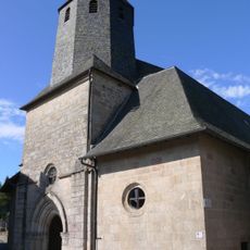
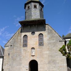
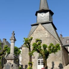
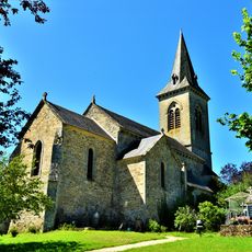
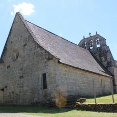
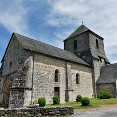
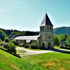
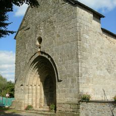
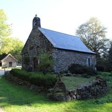
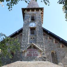
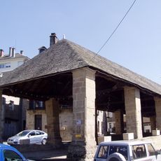
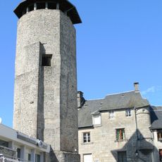
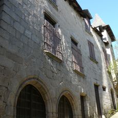
The commune features the Saint-Martial church from the 15th-16th centuries, classified as a historical monument, representing centuries of religious heritage and the medieval settlement patterns that shaped this rural French community.

Culture

Saint-Martial church serves as the cultural center of Lestards, hosting religious ceremonies and traditional festivals that bring together the local community while preserving the Occitan cultural traditions of the Limousin region.

Practical

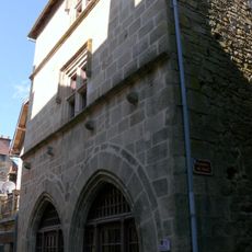
The town hall of Lestards, located in the village center and administered by Mayor Christophe Petit, provides all administrative services for residents and handles civil procedures for the local population.

Did you know?

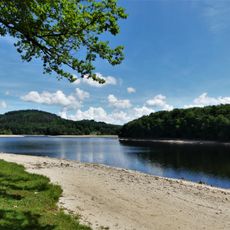
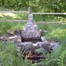
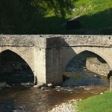
Lestards belongs to the Millevaches en Limousin regional natural park and is part of the Vézère-Monédières-Millesources community of communes, offering preserved natural environments with distinctive forests and moorlands.

Location
Location
Elevation above the sea
518 m
Industry
administration publique générale
Shares border with
Gourdon-Murat, Pradines, Saint-Hilaire-les-Courbes, Treignac, Veix, Viam
Address
19170 Lestards, France
Phone
GPS coordinates
45.51556,1.87361
Latest update
July 12, 2025 08:09

AroundUs brings together thousands of curated places, local tips, and hidden gems, enriched daily by 60,000 contributors worldwide. Discover all places nearby (canton of Bugeat).

« Lestards - Rural commune in Corrèze department, France » is provided by Around Us (aroundus.com). Images and texts are derived from Wikimedia project under a Creative Commons license. You are allowed to copy, distribute, and modify copies of this page, under the conditions set by the license, as long as this note is clearly visible.

Discover hidden gems everywhere you go!

From secret cafés to breathtaking viewpoints, skip the crowded tourist spots and find places that match your style. Our app makes it easy with voice search, smart filtering, route optimization, and insider tips from travelers worldwide. Download now for the complete mobile experience.

Around Us App Screenshot

A unique approach to discovering new places

Le Figaro

All the places worth exploring

France Info

A tailor-made excursion in just a few clicks

20 Minutes

Around Us
Travel Guide & Maps
Download

Send to your phone

QR Code
1

Open the camera app on your mobile.

2

Point at the QR code with your camera. A notification will appear.

3

Tap the notification to open the link.