
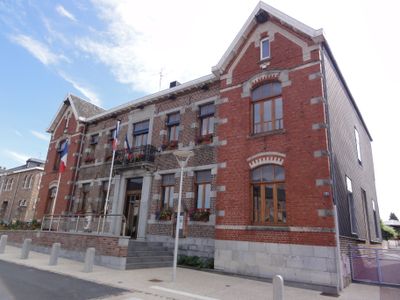
Anor, commune in Nord, France
Location: canton of Trélon
Location: Nord
Location: arrondissement of Avesnes-sur-Helpe
Elevation above the sea: 242 m
Shares border with: , Mondrepuis, Momignies
Phone: +33327595111
Email: contact-mairie@anor.fr
Website: http://anor.fr
GPS coordinates: 49.98944,4.09861
Latest update: May 31, 2025 11:14
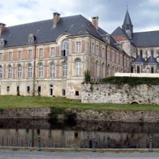
Saint-Michel-en-Thiérache Abbey
7.4 km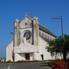
The Church of Sainte-Thérèse-de-l'Enfant-Jésus
8 km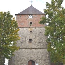
Église Saint-Martin de Féron
8.4 km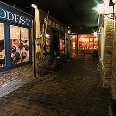
Ecomusée de la région de Fourmies-Trélon
5.1 km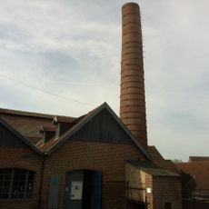
Écomusée Trélon
7.9 km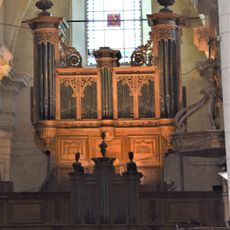
Orgue Boizard de l'abbaye de Saint-Michel-en-Thiérache
7.4 km
Musée du textile et de la vie sociale à Fourmies
5.1 km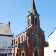
Église Notre-Dame-de-Lourdes de Hirson
7.4 km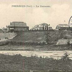
Verreries de Fourmies
4.5 km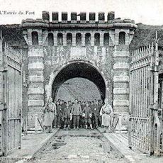
Fort Dubois
8.5 km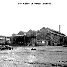
Verreries d'Anor
74 m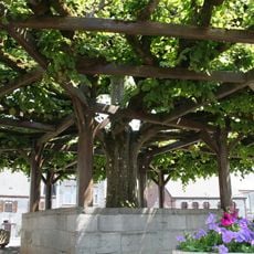
Tilia of Macon
10.6 km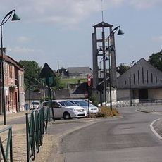
Église Saint-Nicolas de Mondrepuis
4.4 km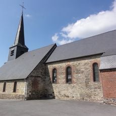
Église Saint-Lazare de Neuve-Maison
8.1 km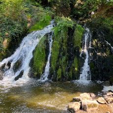
Cascade de Blangy
5.3 km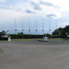
Commemorative monument
10.3 km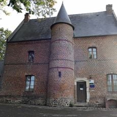
Maison du Prévôt
7.6 km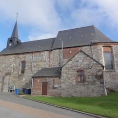
Église Sainte-Ursule de Clairfontaine
7.8 km
Chapelle Lejeune
8.8 km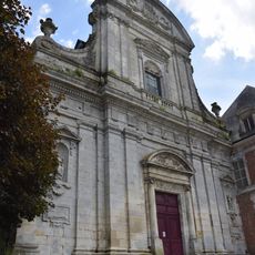
Abbatiale Saint-Michel de Saint-Michel
7.4 km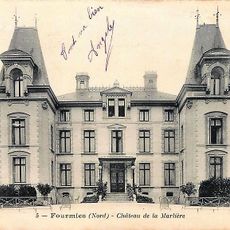
Château de la Marlière
5.4 km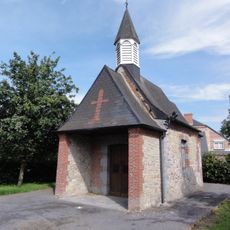
Chapelle Saint-Gorgon d'Anor
680 m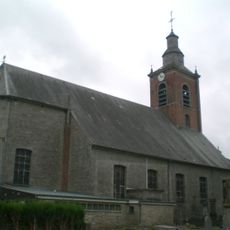
Église Saint-Martin de Glageon
7.8 km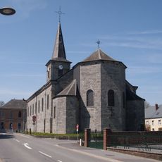
Église Saint-Martin d'Ohain
5.9 km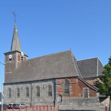
Église Saint-Léger
7.8 km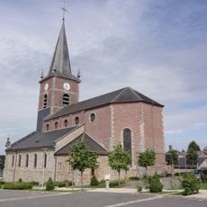
Église Saint Nicolas d' Anor
290 m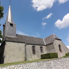
Église Saint-Martin de Baives
11 km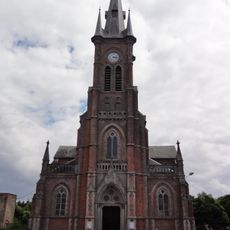
Église Saint-Étienne de Wignehies
7.2 kmVisited this place? Tap the stars to rate it and share your experience / photos with the community! Try now! You can cancel it anytime.
Discover hidden gems everywhere you go!
From secret cafés to breathtaking viewpoints, skip the crowded tourist spots and find places that match your style. Our app makes it easy with voice search, smart filtering, route optimization, and insider tips from travelers worldwide. Download now for the complete mobile experience.

A unique approach to discovering new places❞
— Le Figaro
All the places worth exploring❞
— France Info
A tailor-made excursion in just a few clicks❞
— 20 Minutes