Remiremont, Administrative commune in Vosges, France
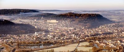
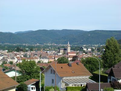
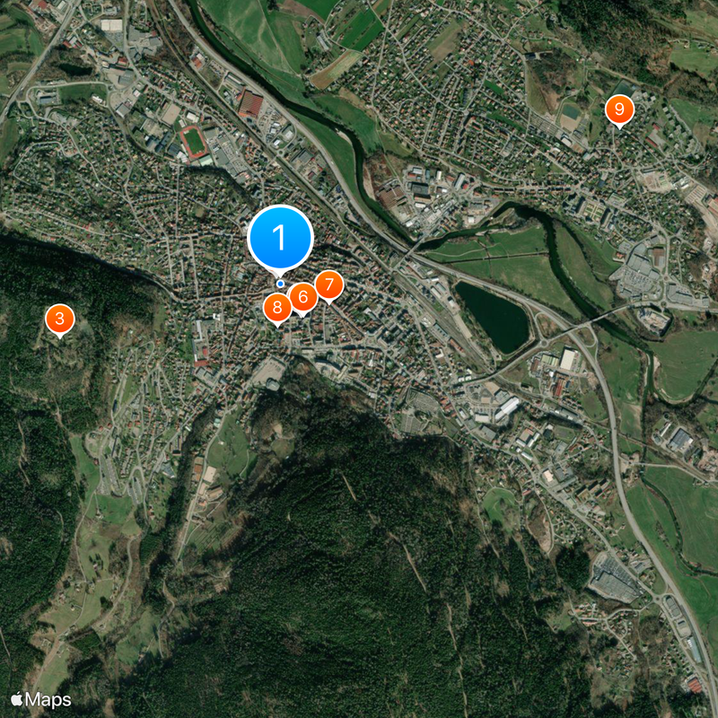
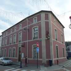
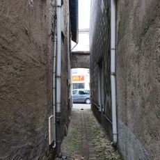
This commune lies at the confluence of the Moselle and Moselotte rivers in the Vosges department and forms a town with nearly 7,000 residents. The old center stretches along several streets with stone houses and arcaded passages, while newer neighborhoods spread across the surrounding hills.
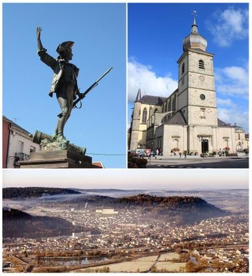
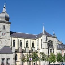
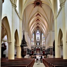
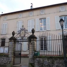
A monastic community arose here in the seventh century under the leadership of Romaric and evolved into an influential abbey for noble canonesses. After the abbey dissolved during the Revolution, the settlement became an ordinary commune in the new French administrative system.
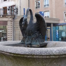
The name derives from Saint Romaric, who founded a monastery here in the seventh century. Weekly markets under the stone arcades draw locals who buy fresh produce from the surrounding valleys.
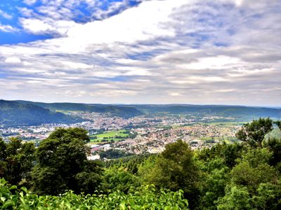
The commune sits roughly 21 kilometers south of Épinal and is easily reached by the main road. The central area suits walking, while the mountain paths around it require sturdy footwear.
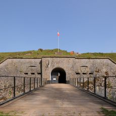
The remains of Fort du Parmont sit on a hill above the town and recall the military past after 1871. American troops left this installation only in 1960, after it had served as a garrison for nearly a century.
Location: Vosges
Location: arrondissement of Épinal
Elevation above the sea: 545 m
Shares border with: Saint-Nabord, Saint-Étienne-lès-Remiremont, Le Val-d'Ajol
Phone: +33329624217
Email: mairie@remiremont.fr
Website: http://remiremont.fr
GPS coordinates: 48.01694,6.59000
Latest update: December 13, 2025 19:41
Remiremont Abbey
186 m
Fort du Parmont
1.1 km
Abbatiale Saint-Pierre
186 m
Statue du Volontaire de l'an II
47 m
Ancien palais abbatial de Remiremont
191 m
Musée Charles de Bruyères
258 m
Musée Charles-Friry
205 m
Église Saint-Étienne de Saint-Étienne-lès-Remiremont
1.9 km
Chapelle de la Madeleine
1.6 km
Ancienne synagogue de Remiremont
525 m
Fontaine des Crapauds
571 m
Réservoir de Lorette
990 m
Fontaine des Dauphins
52 m
Fontaine d'Amphitrite
197 m
Hôpital-hospice Sainte-Béatrix
317 m
Fontaine du Cygne
196 m
Fontaine de la rue Maucervelle (Remiremont)
465 m
Fontaine de la rue de la Xavée
190 m
Fontaine des Capucins
365 m
Monument to Jules Meline
551 m
Fontaine du Jardin des Olives
223 m
Fontaine de Neptune
197 m
Fountain at Place de Mesdames
196 m
Croix de Révillon
2.4 km
Passage Saint-Antoine
193 m
Icehouse at Place de Mesdames
200 m
Antenne-relais du faubourg d'Épinal - stade municipal de Béchamp
898 m
Espace Le Volontaire
20 mVisited this place? Tap the stars to rate it and share your experience / photos with the community! Try now! You can cancel it anytime.
Discover hidden gems everywhere you go!
From secret cafés to breathtaking viewpoints, skip the crowded tourist spots and find places that match your style. Our app makes it easy with voice search, smart filtering, route optimization, and insider tips from travelers worldwide. Download now for the complete mobile experience.
A unique approach to discovering new places❞
— Le Figaro
All the places worth exploring❞
— France Info
A tailor-made excursion in just a few clicks❞
— 20 Minutes