Enable Location

We need your location to show you interesting places around you

Discover nearby places

Find interesting locations and hidden gems around you

Precise directions

Get accurate directions and distances to places

Your location is never shared with other users. It's only used when you tap the location button.

Sully-sur-Loire

Log in to your account

Start exploring — it's free

Trusted by 61,975 travelers worldwide

Continue with Google
Continue with Apple
or

We will send you a code to connect

By continuing, you accept our Terms and Conditions and our Privacy Policy

Check your inbox

We've sent a pincode in your inbox. Please enter the code below.

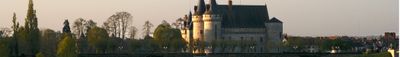
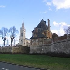
Sully-sur-Loire, Commune in the Loiret department of north-central France.

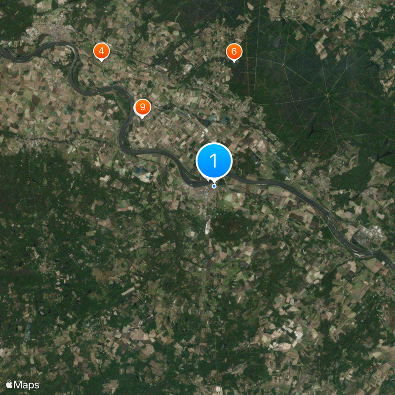
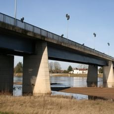
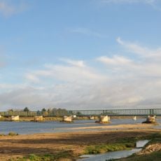
Sully-sur-Loire spans 143.6 square kilometers along the left bank of the Loire River, positioned at coordinates 47.765°N latitude and 2.375278°E longitude with an elevation of 125 meters.

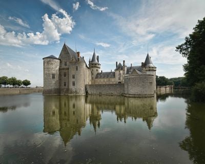
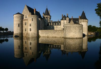
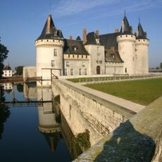
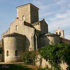
The Château de Sully-sur-Loire was constructed in the late 14th century as a strategic fortress and later became the residence of Maximilien de Béthune, Duke of Sully and Prime Minister to King Henry IV.

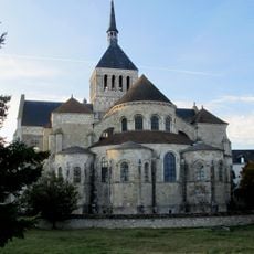
The town hosts annual medieval festivals, artisan markets, and cultural events that celebrate its historical heritage and preserve traditional craftsmanship specific to the Loiret region.

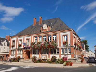
The municipality operates a town hall, public schools including the Jean-Marie Blanchard nursery school, and maintains accessible road connections to Orléans and surrounding communes.

In March 1652, King Louis XIV, Queen Anne of Austria, and Cardinal Mazarin took refuge in the Château de Sully-sur-Loire during the Fronde civil war.

The community of curious travelers

AroundUs brings together thousands of curated places, local tips, and hidden gems, enriched daily by 60,000 contributors worldwide.

Start exploring
Location
Elevation above the sea
125 m
Shares border with
Saint-Père-sur-Loire, Guilly, Ouzouer-sur-Loire, Saint-Aignan-le-Jaillard, Saint-Benoît-sur-Loire, Viglain, Villemurlin
Address
45600 Sully-sur-Loire, France
Phone
GPS coordinates
47.76500,2.37528
Latest update
December 20, 2025 16:19
« Sully-sur-Loire - Commune in the Loiret department of north-central France » is provided by Around Us (aroundus.com). Images and texts are derived from Wikimedia project under a Creative Commons license. You are allowed to copy, distribute, and modify copies of this page, under the conditions set by the license, as long as this note is clearly visible.

Discover hidden gems everywhere you go!

From secret cafés to breathtaking viewpoints, skip the crowded tourist spots and find places that match your style. Our app makes it easy with voice search, smart filtering, route optimization, and insider tips from travelers worldwide. Download now for the complete mobile experience.

Around Us App Screenshot

A unique approach to discovering new places

Le Figaro

All the places worth exploring

France Info

A tailor-made excursion in just a few clicks

20 Minutes

Around Us
Travel Guide & Maps
Download

Send to your phone

QR Code
1

Open the camera app on your mobile.

2

Point at the QR code with your camera. A notification will appear.

3

Tap the notification to open the link.