Porspoder, Commune in Finistère, Brittany, France
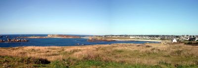
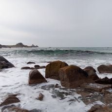
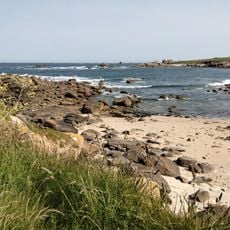
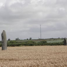
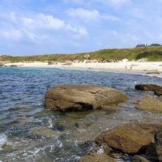
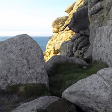
Porspoder is a small coastal commune in the far northwest of Finistère, within the arrondissement of Brest and the Pays d'Iroise Communauté. Its stone streets run close to the sea, and the shoreline is made up of rocky outcrops, small coves, and sandy stretches.
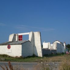
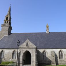
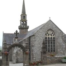
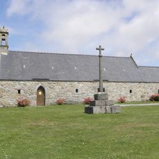
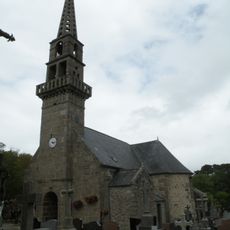
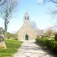
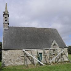
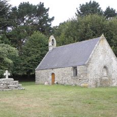
Porspoder developed as a fishing community whose residents depended on the sea for generations, and the oldest stone houses in the village date from that era. During the 20th century, the arrival of summer visitors gradually added a new layer to the village's economy alongside traditional fishing.
In Porspoder, some residents still speak Breton or use it in everyday life, giving the village a feel that is rooted in local identity. During summer festivals, the small port becomes a meeting point where people gather around fishing boats, food stalls, and live music.
The village is best explored on foot, as the streets are narrow and the coastal path connects most of the interesting spots along the shore. Parking is available at the edges of the village, but it fills up quickly during summer months, so arriving early in the day helps.
Just off the coast of Porspoder stands the Phare du Four, a lighthouse built on a rock in the middle of the sea and visible from the coastal paths. It marks one of the most dangerous stretches of water on the Breton coast, the Passage du Four, where strong currents still challenge sailors today.
The community of curious travelers
AroundUs brings together thousands of curated places, local tips, and hidden gems, enriched daily by 60,000 contributors worldwide.