
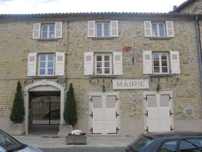
Pommiers, commune in Rhône, France
Location: Rhône
Location: arrondissement of Villefranche-sur-Saône
Location: departmental district of the Rhône
Elevation above the sea: 280 m
Shares border with: Gleizé, Anse, Limas, Theizé, Porte des Pierres Dorées
Phone: +33474656390
Email: contact@mairie-pommiers.fr
Website: https://mairie-pommiers.fr
GPS coordinates: 45.95528,4.69250
Latest update: May 26, 2025 18:44
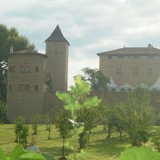
Château de Saint-Bernard
3.3 km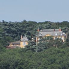
Château de Saint-Trys
854 m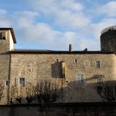
Château des Tours
3.1 km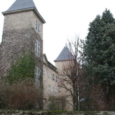
Château du Jonchay
3 km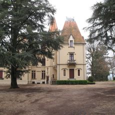
Château de l'Éclair
3.2 km
Niten Ichi Ryu Memorial
4 km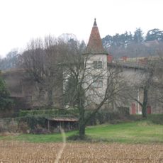
Château de la Fontaine
1.6 km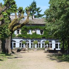
Château de La Bruyère
3.4 km
Foundation of the Covenant
3.3 km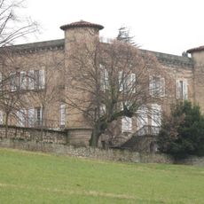
Château des Bassieux
2.6 km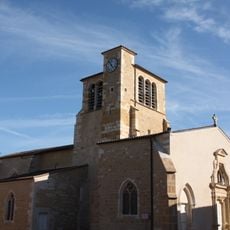
Église Saint-Éloi de Liergues
2.7 km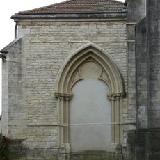
Église Saint-Pierre d'Anse
2.9 km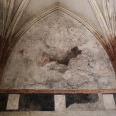
Église Saint-Barthélémy de Pommiers
82 m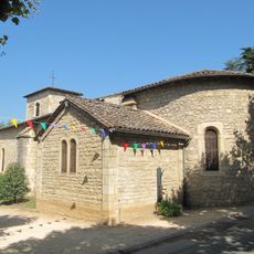
Église Saint-Bernard de Saint-Bernard
3.3 km
Église Saint-Gilles de Limas
2.5 km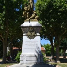
Monument aux morts de 1870
3.7 km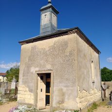
Chapelle du cimetière de Gleizé
3.6 km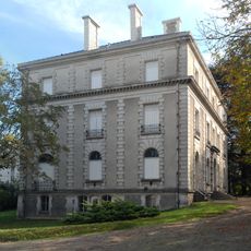
Villa Vermorel
3.3 km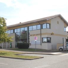
Town hall of Saint-Bernard
3.6 km
Chapelle Notre-Dame de Buisante
1.2 km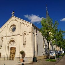
Église Notre-Dame de Gleizé
3.8 km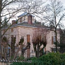
Manoir du Martelet
2.7 km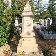
War memorial of Saint-Bernard
3.4 km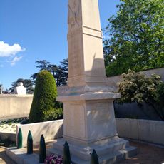
War memorial of Gleizé
3.6 km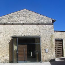
Chapelle Saint-Cyprien d'Anse
3.2 km
Jardin du château de Saint-Bernard
3.4 km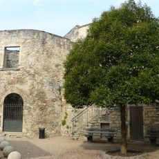
Castellum romain d'Anse
3.1 km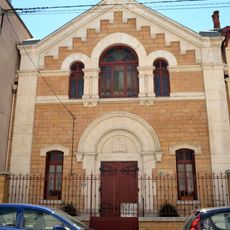
Temple protestant de Villefranche-sur-Saône
3.8 kmVisited this place? Tap the stars to rate it and share your experience / photos with the community! Try now! You can cancel it anytime.
Discover hidden gems everywhere you go!
From secret cafés to breathtaking viewpoints, skip the crowded tourist spots and find places that match your style. Our app makes it easy with voice search, smart filtering, route optimization, and insider tips from travelers worldwide. Download now for the complete mobile experience.

A unique approach to discovering new places❞
— Le Figaro
All the places worth exploring❞
— France Info
A tailor-made excursion in just a few clicks❞
— 20 Minutes