Enable Location

We need your location to show you interesting places around you

Discover nearby places

Find interesting locations and hidden gems around you

Precise directions

Get accurate directions and distances to places

Your location is never shared with other users. It's only used when you tap the location button.

Sainte-Maure-de-Touraine

Log in to your account

Start exploring — it's free

Trusted by 61,613 travelers worldwide

Continue with Google
Continue with Apple
or

We will send you a code to connect

By continuing, you accept our Terms and Conditions and our Privacy Policy

Check your inbox

We've sent a pincode in your inbox. Please enter the code below.

Sainte-Maure-de-Touraine

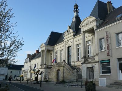
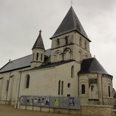
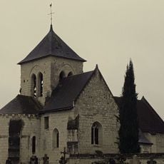
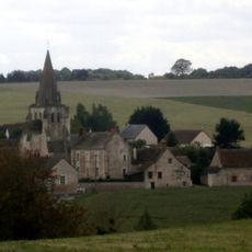
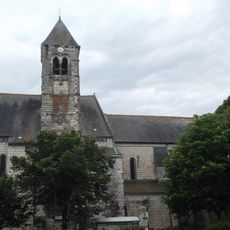
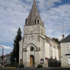
Sainte-Maure-de-Touraine, Administrative commune in Indre-et-Loire, France

Description

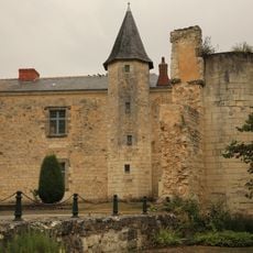
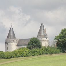
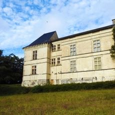
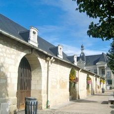
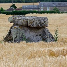
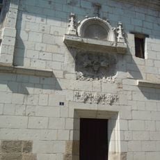
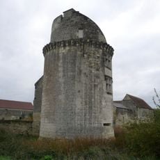
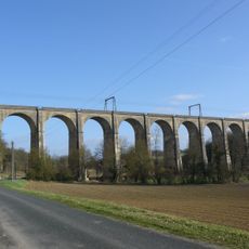
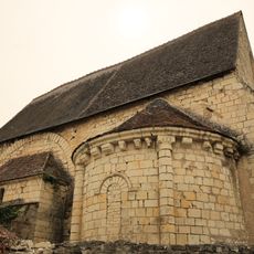
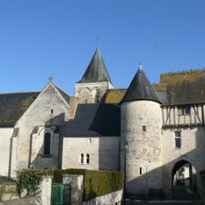
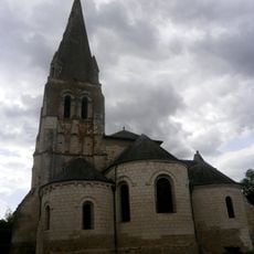
Sainte-Maure-de-Touraine is a small commune in the Indre-et-Loire department within the Centre-Val de Loire region. The settlement occupies a rural landscape with farmland and village structures spread across the surroundings.

History

The village developed as a rural settlement in the Loire region, connected for centuries to farming and later specifically to cheese production. Goat cheese making was passed down through generations and remains woven into its past.

Culture

The town is known for its traditional goat cheese production, a craft that shapes local life and appears regularly in village shops and markets. This cheesemaking heritage remains central to how people here connect with their land and trade.

Practical

The village is easy to reach from larger towns in the Loire Valley such as Chinon and works well as a stop while exploring the rural area. It is best visited during daytime hours when local shops and cheese markets are open.

Did you know?

The local goat cheese carries a protected name with strict production rules, meaning only cheese made according to these standards can bear this name. This protection ensures what you find here is authentic and cannot be replicated elsewhere in the same way.

Location
Elevation above the sea
104 m
Shares border with
Bossée, Draché, Le Louroux, Maillé, Noyant-de-Touraine, Pouzay, Sainte-Catherine-de-Fierbois, Saint-Épain, Sepmes
Phone
GPS coordinates
47.11222,0.62111
Latest update
December 7, 2025 20:21

AroundUs brings together thousands of curated places, local tips, and hidden gems, enriched daily by 60,000 contributors worldwide. Discover all places nearby (Indre-et-Loire).

« Sainte-Maure-de-Touraine - Administrative commune in Indre-et-Loire, France » is provided by Around Us (aroundus.com). Images and texts are derived from Wikimedia project under a Creative Commons license. You are allowed to copy, distribute, and modify copies of this page, under the conditions set by the license, as long as this note is clearly visible.

Discover hidden gems everywhere you go!

From secret cafés to breathtaking viewpoints, skip the crowded tourist spots and find places that match your style. Our app makes it easy with voice search, smart filtering, route optimization, and insider tips from travelers worldwide. Download now for the complete mobile experience.

Around Us App Screenshot

A unique approach to discovering new places

Le Figaro

All the places worth exploring

France Info

A tailor-made excursion in just a few clicks

20 Minutes

Around Us
Travel Guide & Maps
Download

Send to your phone

QR Code
1

Open the camera app on your mobile.

2

Point at the QR code with your camera. A notification will appear.

3

Tap the notification to open the link.