
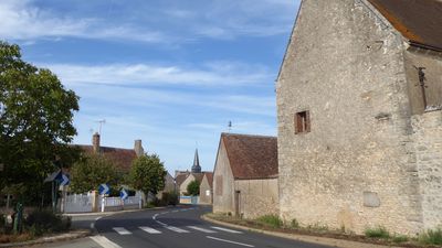
Charray, former commune in Eure-et-Loir, France
Location: canton of Cloyes-sur-le-Loir
Location: Eure-et-Loir
Location: arrondissement of Châteaudun
Industry: administration publique générale
Shares border with: Brévainville, Ouzouer-le-Doyen, Verdes
GPS coordinates: 47.97222,1.32639
Latest update: March 20, 2025 08:35
Château du Jonchet
4.1 km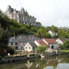
Château de Montigny-le-Gannelon
8.1 km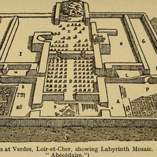
Site archéologique de Verdes
7.9 km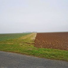
Voie de Jules César
7.7 km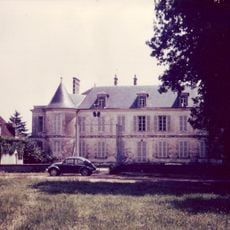
Château de Bouville
6 km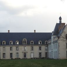
Château de Lierville
7.8 km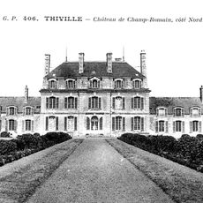
Château de Champ-Romain
5 km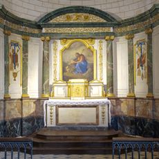
Église de la Madeleine de Moisy
6.4 km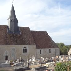
Église Saint-Claude de Brévainville
5.7 km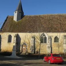
Église Saint-Avit d'Autheuil
4.7 km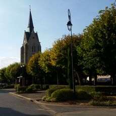
Église Notre-Dame, Thiville
6.9 km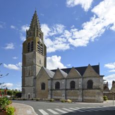
Église Saint-Georges de Cloyes-sur-le-Loir
7.3 km
Église Saint-Martin de La Ferté-Villeneuil
1.6 km
Église de la Sainte-Trinité, Douy
8.3 km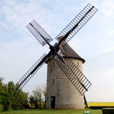
Moulin à Vent de Frouville Pensier
10.5 km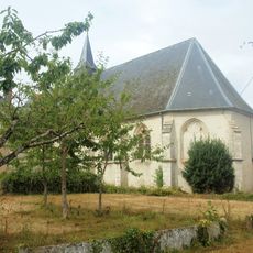
Église Sainte-Anne d'Ouzouer-le-Doyen
3.6 km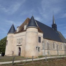
Église Saint-Pierre, Romilly-sur-Aigre
3.4 km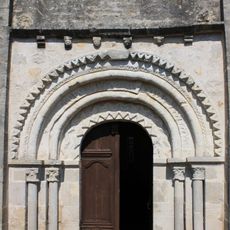
Église Notre-Dame d'Écoman
9.3 km
Église Sainte-Madeleine
5.9 km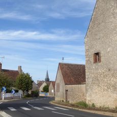
Église Saint-Marcel, Charray
86 m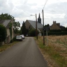
Église Saint-Aubin de La Chapelle-du-Noyer
6.7 km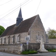
Église Saint-Jean-Baptiste de Saint-Jean-Froidmentel
6.6 km
Château de Touchebredier
6.4 km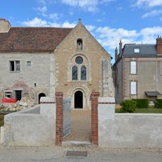
Prieuré de Notre-Dame d'Yron
7.8 km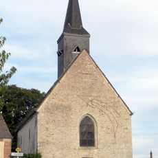
Église Saint-Médard de Brévainville
3.8 km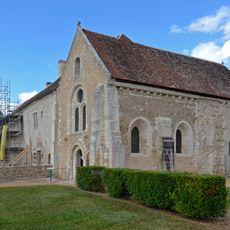
Chapelle Notre-Dame d'Yron
7.8 km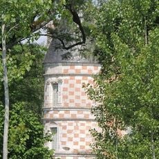
Prieuré de Bouche d'Aigre (Romilly-sur-Aigre)
5.3 km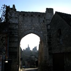
Porte Roland
8.3 kmReviews
Visited this place? Tap the stars to rate it and share your experience / photos with the community! Try now! You can cancel it anytime.
Discover hidden gems everywhere you go!
From secret cafés to breathtaking viewpoints, skip the crowded tourist spots and find places that match your style. Our app makes it easy with voice search, smart filtering, route optimization, and insider tips from travelers worldwide. Download now for the complete mobile experience.

A unique approach to discovering new places❞
— Le Figaro
All the places worth exploring❞
— France Info
A tailor-made excursion in just a few clicks❞
— 20 Minutes