Enable Location

We need your location to show you interesting places around you

Discover nearby places

Find interesting locations and hidden gems around you

Precise directions

Get accurate directions and distances to places

Your location is never shared with other users. It's only used when you tap the location button.

Voie de Jules César

Log in to your account

Start exploring — it's free

Trusted by 62,545 travelers worldwide

Continue with Google
Continue with Apple
or

We will send you a code to connect

By continuing, you accept our Terms and Conditions and our Privacy Policy

Check your inbox

We've sent a pincode in your inbox. Please enter the code below.

Voie de Jules César

Voie de Jules César, Roman road in Beauce la Romaine, France

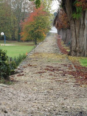
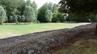
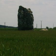
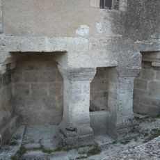
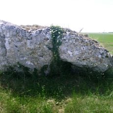
The Voie de Jules César is a Roman road stretching between two major urban centers and passing through several historical regions. The pavement in various sections still displays characteristic Roman construction techniques with carefully arranged stones and gravel materials.

The road was built during Roman times and likely served military campaigns and trade networks. It was officially recognized as a historic monument in 1978, confirming its important role in ancient infrastructure.

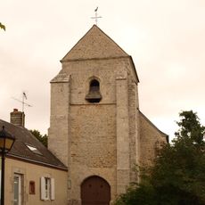
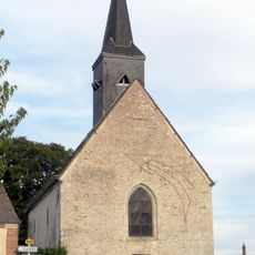
The road appears in medieval abbey records under Latin names that reflect its importance as a regional connection. Local communities relied on this route for centuries, making it a lasting part of their heritage.

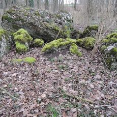
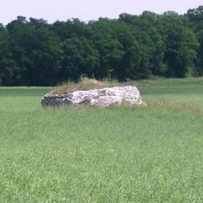
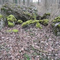
The best chance to see traces of the original road is at several preserved sections where Roman construction techniques are clearly visible. Visitors should wear sturdy footwear since the ground can be uneven and partly overgrown.

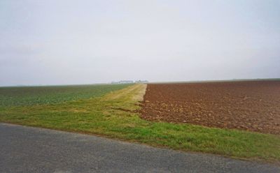
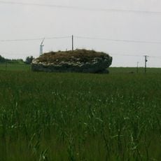
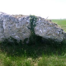
The road was built so high that it functioned like a dam and altered the water flow of a nearby river. This raised construction method with stone and gravel shows how Roman engineers reshaped the landscape to build their roads.

The community of curious travelers

AroundUs brings together thousands of curated places, local tips, and hidden gems, enriched daily by 60,000 contributors worldwide.

Start exploring
Location
GPS coordinates
47.95700,1.42740
Latest update
December 9, 2025 12:25
« Voie de Jules César - Roman road in Beauce la Romaine, France » is provided by Around Us (aroundus.com). Images and texts are derived from Wikimedia project under a Creative Commons license. You are allowed to copy, distribute, and modify copies of this page, under the conditions set by the license, as long as this note is clearly visible.

Discover hidden gems everywhere you go!

From secret cafés to breathtaking viewpoints, skip the crowded tourist spots and find places that match your style. Our app makes it easy with voice search, smart filtering, route optimization, and insider tips from travelers worldwide. Download now for the complete mobile experience.

Around Us App Screenshot

A unique approach to discovering new places

Le Figaro

All the places worth exploring

France Info

A tailor-made excursion in just a few clicks

20 Minutes

Around Us
Travel Guide & Maps
Download

Send to your phone

QR Code
1

Open the camera app on your mobile.

2

Point at the QR code with your camera. A notification will appear.

3

Tap the notification to open the link.