
Montagnieu, commune in Isère, France
Location: Isère
Location: arrondissement of la Tour-du-Pin
Elevation above the sea: 515 m
Shares border with: Torchefelon, Chélieu, Doissin, Sainte-Blandine, Saint-Didier-de-la-Tour
Phone: +33474970804
Email: contact@montagnieu-isere.fr
Website: http://montagnieu-isere.fr
GPS coordinates: 45.52417,5.45250
Latest update: June 2, 2025 18:04
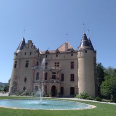
Château de Pupetières
7.2 km
Château de Virieu
5.4 km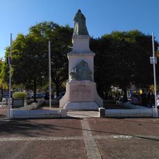
La Tour-du-Pin war memorial
4.4 km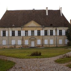
Château du Passage
4.8 km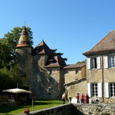
Château de Vallin
5.2 km
Château de Tournin
3.9 km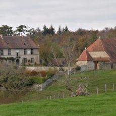
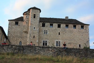
Château de Châtelard
1.7 km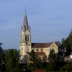
Église de l'Assomption de La Tour-du-Pin
4.4 km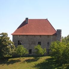
Château de Bellegarde
4.9 km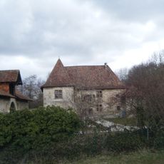
Château de Montrevel
6 km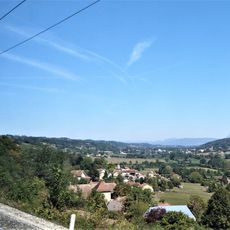
Val de Virieu
4.2 km
Château de Pupetières
7.2 km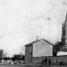
Église Saint-Étienne de Rochetoirin
6.9 km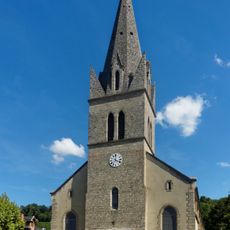
Église Saint-Pierre et Saint-Paul
4.8 km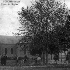
Église Saint-Georges de Torchefelon
4 km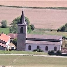
Église Saint-Jacques-le-Majeur de Blandin
6 km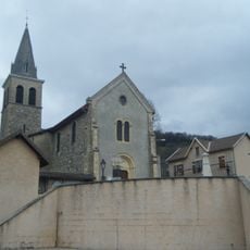
Église Sainte-Thérèse-de-l'Enfant-Jésus de Montrevel
6.3 km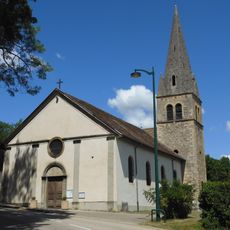
Église Saint-Étienne du Passage
4.9 km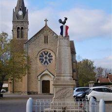
Église Saint-Pierre de Montagnieu
80 m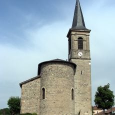
Église Sainte-Blandine de Sainte-Blandine
2.7 km
Église Saint-Jean-l'Évangéliste de Valencogne
7.3 km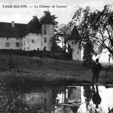
Castle of Cuirieu
3.9 km
Église Saint-Martin de Grivoulière
3.8 km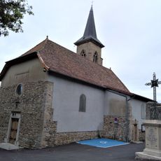
Église Saint-Martin de Doissin
3.7 km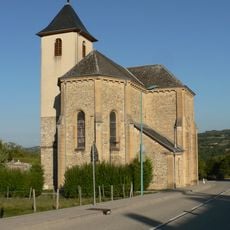
Église Saint-Etienne
3.5 km
Église de l'Assomption de Chassignieu
4.8 km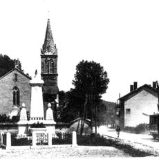
Église Saint-Clair de Saint-Clair-de-la-Tour
5.9 km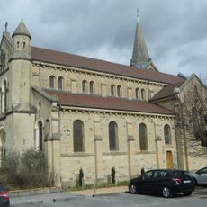
Église Saint-Jean-Baptiste de Biol-le-Bas
6.2 kmVisited this place? Tap the stars to rate it and share your experience / photos with the community! Try now! You can cancel it anytime.
Discover hidden gems everywhere you go!
From secret cafés to breathtaking viewpoints, skip the crowded tourist spots and find places that match your style. Our app makes it easy with voice search, smart filtering, route optimization, and insider tips from travelers worldwide. Download now for the complete mobile experience.

A unique approach to discovering new places❞
— Le Figaro
All the places worth exploring❞
— France Info
A tailor-made excursion in just a few clicks❞
— 20 Minutes