Bourg-Argental

Log in to your account

AroundUs is a community-driven map of interesting places, built by curious explorers like you. It grows with every review, story, and photo you share.
Connect to save your favorite spots, contribute locations, and create personalized routes.
Continue with Google
Continue with Apple
Continue with X
Continue with Facebook
Continue with email
By continuing, you accept our Terms and Conditions and our Privacy Policy
Create an account
Add to collection
Map
Suggest a change
Share

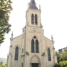
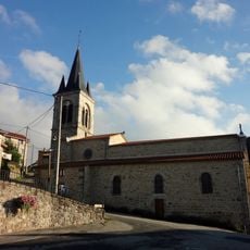
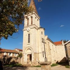
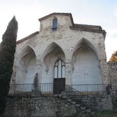
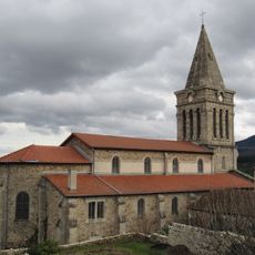
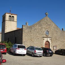
Bourg-Argental, Municipal commune in Loire, France

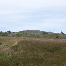
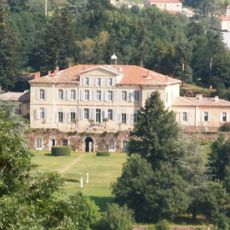
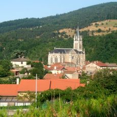
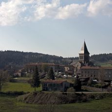
Bourg-Argental is a French commune in the Loire region situated in a hilly area with elevations ranging from about 450 to 1,000 meters (1,480 to 3,280 feet). The settlement lies strategically between the cities of Saint-Étienne and Annonay, connecting several surrounding departments.

The commune developed as a center of rural life throughout the 20th century, reaching its largest population in the mid-1970s. Afterward, resident numbers declined gradually, following a pattern common in many small French communities.

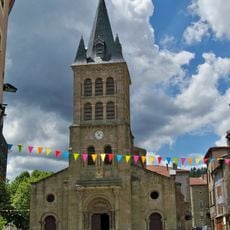
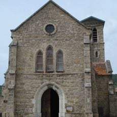
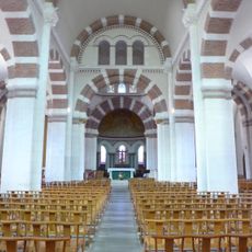
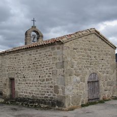
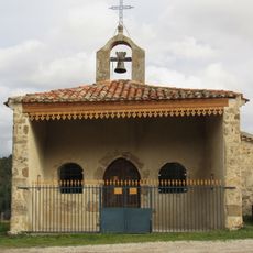
The town maintains French traditions through regular commemorative ceremonies for World War I armistice and hosts cultural events like concerts during the 'Bourg'ARTistique' season.

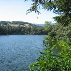
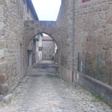
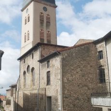
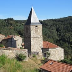
The small village provides visitors with access to basic facilities like shops, cafes, and other services for daily needs. Its location in the highlands makes it a suitable starting point for walks and exploration of the surrounding area.

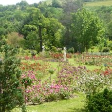
The commune sits at a remarkable geographical point where five different departments converge. This positions it directly at the gateway to the Pilat Regional Natural Park, a significant nature reserve in the region.

Location: canton of Bourg-Argental

Location: Loire

Location: arrondissement of Saint-Étienne

Elevation above the sea: 698 m

Shares border with: Saint-Marcel-lès-Annonay, La Versanne, Burdignes, Colombier, Saint-Julien-Molin-Molette, Saint-Sauveur-en-Rue, Thélis-la-Combe

Phone: +33477396134

Email: mairie@bourgargental.fr

Website: http://bourgargental.fr

GPS coordinates: 45.29639,4.56000

Latest update: December 10, 2025 15:54

Photos
Reviews

Visited this place? Tap the stars to rate it and share your experience / photos with the community! Try now! You can cancel it anytime.

« Bourg-Argental - Municipal commune in Loire, France » is provided by Around Us (aroundus.com). Images and texts are derived from Wikimedia project under a Creative Commons license. You are allowed to copy, distribute, and modify copies of this page, under the conditions set by the license, as long as this note is clearly visible.

Discover hidden gems everywhere you go!

From secret cafés to breathtaking viewpoints, skip the crowded tourist spots and find places that match your style. Our app makes it easy with voice search, smart filtering, route optimization, and insider tips from travelers worldwide. Download now for the complete mobile experience.

Around Us App Screenshot

A unique approach to discovering new places

Le Figaro

All the places worth exploring

France Info

A tailor-made excursion in just a few clicks

20 Minutes