Orne, River system in Normandy, France
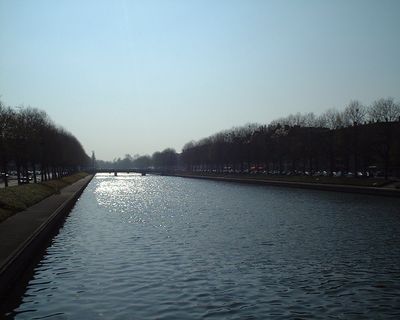
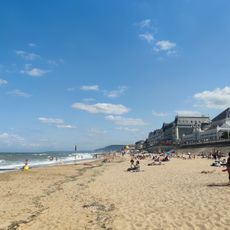
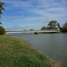
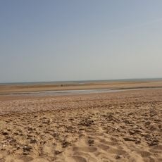
The Orne is a river system in Normandy that flows approximately 170 kilometers from its source near Sées to the English Channel at Ouistreham. Along its course, the river receives water from several tributaries and passes through varying terrain marked by limestone formations and valleys.
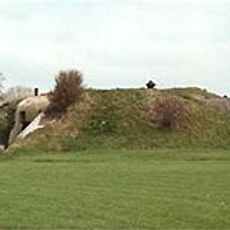
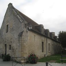
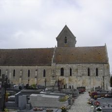
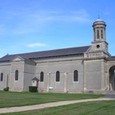
The river was already known to ancient writers, including Ptolemaeus who documented its existence in classical times. During the Middle Ages, limestone quarries developed along the lower course supplied stone for major construction projects across the region.
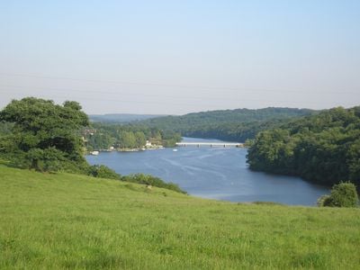
The region carries names and stories shaped by generations of people who lived and worked along its banks. The steep cliffs and gorges of Suisse Normande continue to define how local residents and visitors experience the landscape today.
The river can be explored from various locations, particularly in the Suisse Normande region where walking trails and viewpoints are available. Water levels vary depending on the season, which affects accessibility to certain areas along the banks.
Its name derives from the Celtic word olīnā meaning elbow, referring to the river's characteristic bends and turns through the landscape. This linguistic connection to ancient Celtic languages reveals how place names here carry memory from prehistoric times.
The community of curious travelers
AroundUs brings together thousands of curated places, local tips, and hidden gems, enriched daily by 60,000 contributors worldwide.