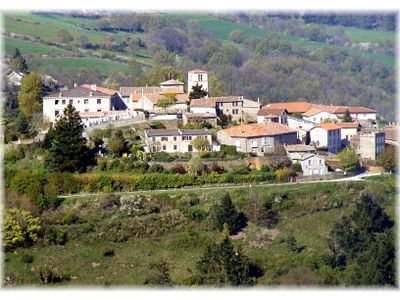
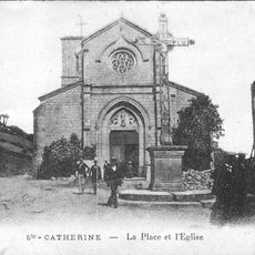
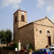
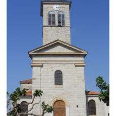
Riverie, commune in Rhône, France
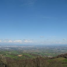
Riverie stands at an elevation of 677 meters in the Rhône department, covering just 0.42 square kilometers and hosting approximately 304 residents known as Les Rampognauds.
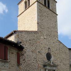
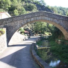
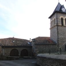
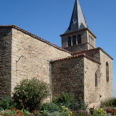
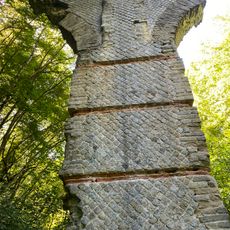
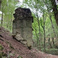
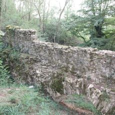
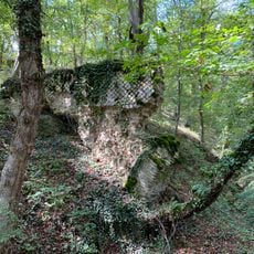
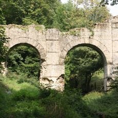
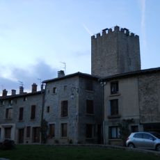
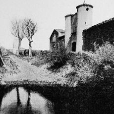
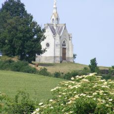
The commune served as a stronghold of an ancient barony, with preserved fortifications and a chemin de ronde that traces the defensive structures from its medieval past.
The village promotes cultural engagement through the Patrat'art exhibition space, which hosts local paintings, sculptures, and visual arts supporting the regional artistic community and contemporary culture.
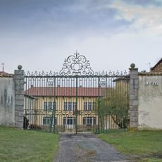
Mayor Isabelle Brouillet oversees administrative operations from the town hall at the Château, with office hours on Mondays from 1:30 PM to 4:30 PM and Fridays from 1:30 PM to 6:00 PM.
Recognized by the French Federation of Mountain and Climbing, the escalade des Roches climbing site features 24 routes suited for climbers of various skill levels throughout the rocky terrain.
Location: Rhône
Location: departmental district of the Rhône
Elevation above the sea: 677 m
Shares border with: Sainte-Catherine, Chabanière
Address: 69440 Riverie, France 69440 Riverie
Phone: +33478818242
Email: mairie.riverie@cc-paysmornantais.fr
Website: https://mairie-riverie.fr
GPS coordinates: 45.59972,4.58861
Latest update: October 10, 2025 10:13
Espace zoologique de Saint-Martin-la-Plaine
5.6 km
Signal de Saint-André
4.3 km
Église de la Conversion-de-Saint-Paul de Riverie
77 m
Pont sur la Durèze
7.6 km
Église Saint-Pierre de Mornant
6.8 km
Église Saint-Martin de Saint-Martin-la-Plaine
6.1 km
Église Saint-Jean-Baptiste de Chaussan
5.4 km
Église Saint-André de Saint-André-la-Côte
3.5 km
Église Sainte-Catherine de Sainte-Catherine
1.4 km
Jealousy Tower
6.3 km
Église Notre-Dame-de-Pitié de Rochefort
7.1 km
Église Saint-Saturnin de Saint-Sorlin
4.6 km
Bridge of Virieux
2.8 km
Bridge of Grand Bozançon
3.4 km
Église Saint-Genis de Genilac
7.6 km
Bridge of Jurieux
3.5 km
Bridge of La Billannière
3 km
Église Saint-Didier de Saint-Didier-sous-Riverie
1.6 km
Église de l'Assomption-de-la-Vierge de Dargoire
7.5 km
Église Saint-Joseph de Saint-Joseph
5.4 km
Bridge of Les Granges
4.3 km
Château de la Fay
6.8 km
Cave du curé
7.6 km
Tour de la Dîme
6.8 km
Maison-forte de la Mouchonnière
6.6 km
Pont-aqueduc du Mornantet
6.6 km
Chapelle Notre-Dame-de-Pitié du Pinay
6.3 km
Chapelle Notre-Dame-de-Lourdes de Crêt Chagneux
4.5 kmReviews
Visited this place? Tap the stars to rate it and share your experience / photos with the community! Try now! You can cancel it anytime.
Discover hidden gems everywhere you go!
From secret cafés to breathtaking viewpoints, skip the crowded tourist spots and find places that match your style. Our app makes it easy with voice search, smart filtering, route optimization, and insider tips from travelers worldwide. Download now for the complete mobile experience.
A unique approach to discovering new places❞
— Le Figaro
All the places worth exploring❞
— France Info
A tailor-made excursion in just a few clicks❞
— 20 Minutes