Enable Location

We need your location to show you interesting places around you

Discover nearby places

Find interesting locations and hidden gems around you

Precise directions

Get accurate directions and distances to places

Your location is never shared with other users. It's only used when you tap the location button.

Entraygues-sur-Truyère

Log in to your account

Start exploring — it's free

Trusted by 61,413 travelers worldwide

Continue with Google
Continue with Apple
or

We will send you a code to connect

By continuing, you accept our Terms and Conditions and our Privacy Policy

Check your inbox

We've sent a pincode in your inbox. Please enter the code below.

Entraygues-sur-Truyère

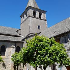
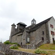
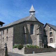
Entraygues-sur-Truyère, Medieval village in Truyère Valley, Aveyron, France

Description

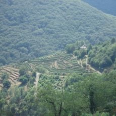
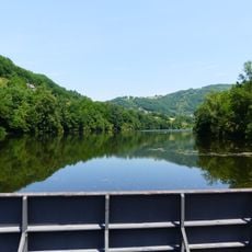
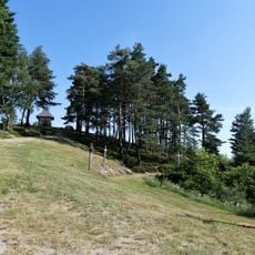
Entraygues-sur-Truyère is a village settlement in the Truyère Valley where the landscape is green and hilly, with two rivers flowing through the area. The village serves as the administrative center of its canton and spreads across the valley floor.

History

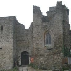
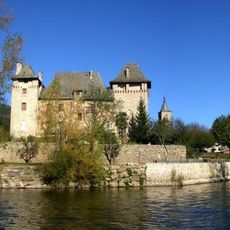
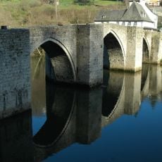
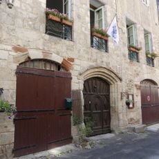
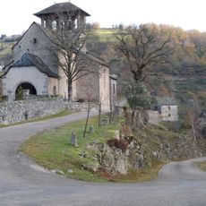
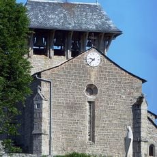
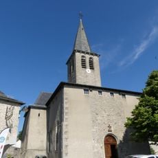
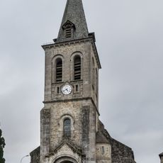
The settlement grew during medieval times at the junction of two rivers, a location that made it valuable for trade. The bridges built then still mark the importance of these crossings in the area's history.

Culture

The name reflects its geography: the village sits where two rivers meet, and locals still use this natural advantage for daily life. Markets and local shops keep this relationship with the land alive in how people gather and shop.

Practical

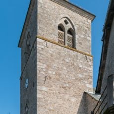
The village is easy to explore on foot since shops and services cluster near the center. Best to wander slowly through the streets and enjoy the surroundings at a relaxed pace.

Did you know?

Two rivers shape this place more than most visitors realize, and the village name directly reflects this water-centered geography. Looking at how the rivers wind through the landscape reveals why this became such an important crossing point.

Location
Elevation above the sea
220 m
Industry
administration publique générale
Shares border with
Campouriez, Le Fel, Espeyrac, Florentin-la-Capelle, Golinhac, Saint-Hippolyte
Address
12140 Entraygues-sur-Truyère, France
Phone
GPS coordinates
44.64639,2.56694
Latest update
December 7, 2025 20:46

AroundUs brings together thousands of curated places, local tips, and hidden gems, enriched daily by 60,000 contributors worldwide. Discover all places nearby (canton of Entraygues-sur-Truyère).

« Entraygues-sur-Truyère - Medieval village in Truyère Valley, Aveyron, France » is provided by Around Us (aroundus.com). Images and texts are derived from Wikimedia project under a Creative Commons license. You are allowed to copy, distribute, and modify copies of this page, under the conditions set by the license, as long as this note is clearly visible.

Discover hidden gems everywhere you go!

From secret cafés to breathtaking viewpoints, skip the crowded tourist spots and find places that match your style. Our app makes it easy with voice search, smart filtering, route optimization, and insider tips from travelers worldwide. Download now for the complete mobile experience.

Around Us App Screenshot

A unique approach to discovering new places

Le Figaro

All the places worth exploring

France Info

A tailor-made excursion in just a few clicks

20 Minutes

Around Us
Travel Guide & Maps
Download

Send to your phone

QR Code
1

Open the camera app on your mobile.

2

Point at the QR code with your camera. A notification will appear.

3

Tap the notification to open the link.