
Servières, commune in Lozère, France
Location: Lozère
Location: canton of Saint-Amans
Location: Arrondissement of Mende
Location: Monts-de-Randon
Elevation above the sea: 1,076 m
Shares border with: Lachamp, Rieutort-de-Randon, Mende, Barjac, Gabrias, Lachamp-Ribennes
GPS coordinates: 44.57500,3.40472
Latest update: June 3, 2025 09:16
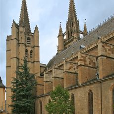
Mende Cathedral
9.8 km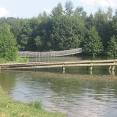
Lac de Ganivet
8.1 km
Prefecture hotel of Lozère
9.8 km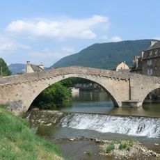
Pont Notre-Dame de Mende
9.5 km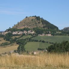
Truc de Grèzes
8.6 km
Musée du Gévaudan
9.8 km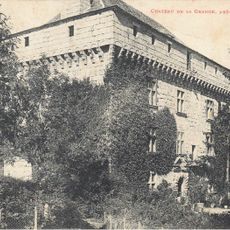
Château de la Grange
3.1 km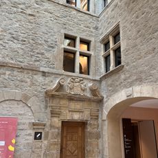
Hôtel de Ressouches
9.8 km
Synagogue of Mende
9.7 km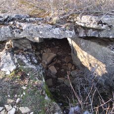
Site mégalithique du plateau de Poujoulet
8 km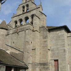
Église Saint-Julien de Rieutort-de-Randon
8.8 km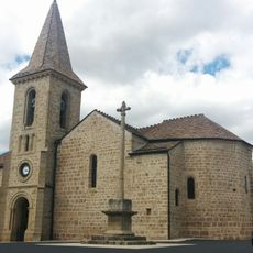
Église Saint-Jean-Baptiste de Montrodat
6.5 km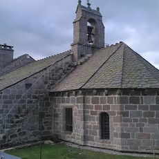
Église Saint-Gall de Saint-Gal
10.6 km
Statue of Pope Urban V
9.8 km
Le Trianon
9.8 km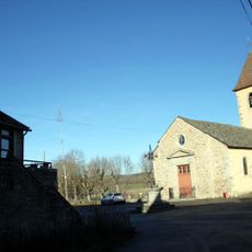
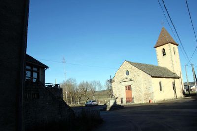
Église Saints-Pierre-et-Paul de Servières
61 m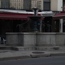
Fontaine d'Aigues-Passes
9.7 km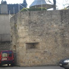
Remparts de Mende
9.6 km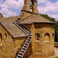
Église des Saints-Innocents de Gabrias
4.2 km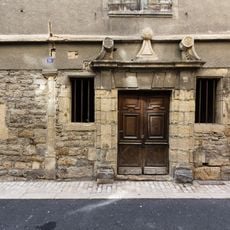
Maison Pons
9.8 km
Lavoir des Calquières
9.9 km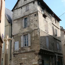
Croix, rue du Collège, Mende
9.7 km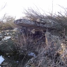
Site mégalithique du plateau de Poujoulet
7.2 km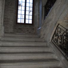
Maison Malgoire de Salles
9.8 km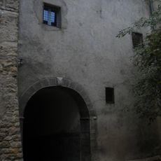
Immeuble 25, rue Basse
9.9 km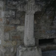
Croix, boulevard des Capucins, Mende
9.6 km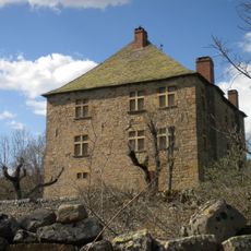
Maison forte de Bahours
5.2 km
Collège des Doctrinaires de Mende
9.7 kmReviews
Visited this place? Tap the stars to rate it and share your experience / photos with the community! Try now! You can cancel it anytime.
Discover hidden gems everywhere you go!
From secret cafés to breathtaking viewpoints, skip the crowded tourist spots and find places that match your style. Our app makes it easy with voice search, smart filtering, route optimization, and insider tips from travelers worldwide. Download now for the complete mobile experience.

A unique approach to discovering new places❞
— Le Figaro
All the places worth exploring❞
— France Info
A tailor-made excursion in just a few clicks❞
— 20 Minutes