
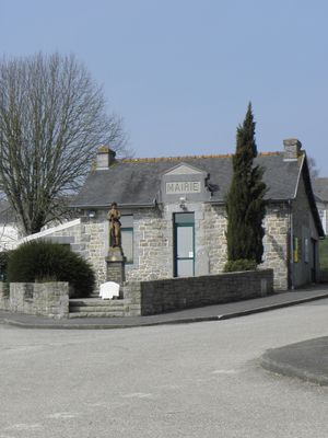
Saint-Adrien, commune in Côtes-d'Armor, Brittany
Location: canton of Bourbriac
Location: Côtes-d'Armor
Location: arrondissement of Guingamp
Elevation above the sea: 148 m
Shares border with: Bourbriac, Coadout, Plésidy, Ploumagoar, Saint-Péver
Phone: +33296434281
Email: mairie.st.adrien@wanadoo.fr
GPS coordinates: 48.48917,-3.13028
Latest update: May 26, 2025 06:12
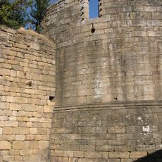
Château de Pierre II
8 km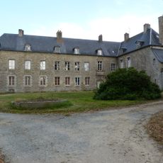
Château des Salles à Guingamp
7.9 km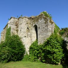
Abbaye Sainte-Croix de Guingamp
7.3 km
Viaduc de Kerlosquer
7.4 km
Église Saint-Briac de Bourbriac
4.5 km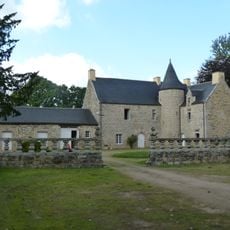
Manoir du Lézard
1.8 km
Manoir de Toul-an-Golet
3.8 km
Église Saint-Fiacre de Saint-Fiacre
6.1 km
Chapelle Notre-Dame du Danouët
5 km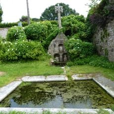
Calvaire-fontaine de Plésidy
4.8 km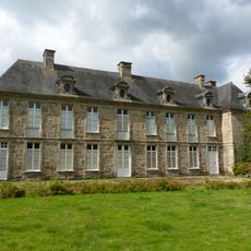
Château de Kéranno
6.9 km
Calvaire de la Chapelle Saint-Yves de Plésidy
4.7 km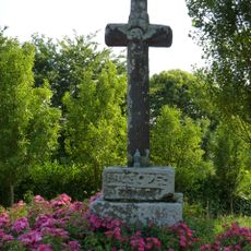
Croix de chemin de Darnouët
5 km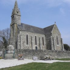
Église de Saint-Adrien
84 m
Église Saint-Pierre de Plésidy
4.7 km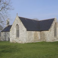
Chapelle Notre-Dame-de-Restudo
3.5 km
Église Saint-Pierre de Ploumagoar
6.2 km
Église Notre-Dame de Saint-Agathon
8 km
Croix du cimetière de Saint-Adrien
140 m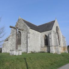
Chapelle Notre-Dame-d'Avaugour
1 km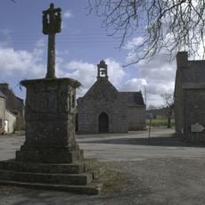
Chapelle Saint-Yves de Plésidy
4.7 km
Église Saint-Pierre de Saint-Péver
2.4 km
Église Saint-Ildut de Coadout
5.3 km
Ty Lipous
7.6 km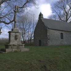
Chapelle de la Trinité de Plésidy
4.4 km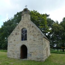
Chapelle du Lézard
1.7 km
Chapelle Saint-Joseph des Ursulines de Guingamp
8.1 km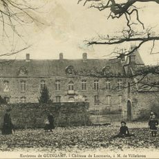
Manoir de Locmaria
5.6 kmVisited this place? Tap the stars to rate it and share your experience / photos with the community! Try now! You can cancel it anytime.
Discover hidden gems everywhere you go!
From secret cafés to breathtaking viewpoints, skip the crowded tourist spots and find places that match your style. Our app makes it easy with voice search, smart filtering, route optimization, and insider tips from travelers worldwide. Download now for the complete mobile experience.

A unique approach to discovering new places❞
— Le Figaro
All the places worth exploring❞
— France Info
A tailor-made excursion in just a few clicks❞
— 20 Minutes