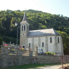
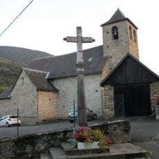
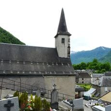
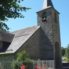
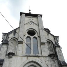
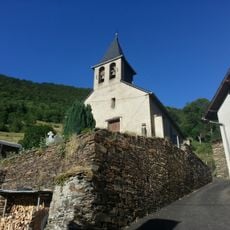
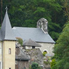
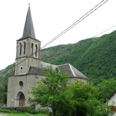
Baren, commune in Haute-Garonne, France
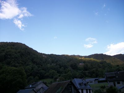
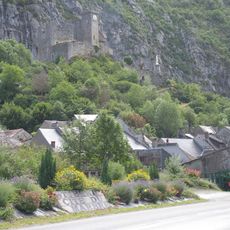
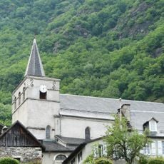
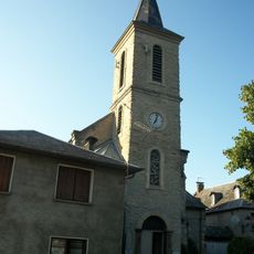
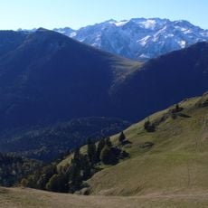
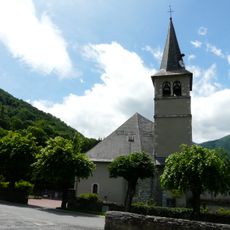
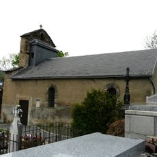
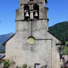
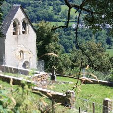
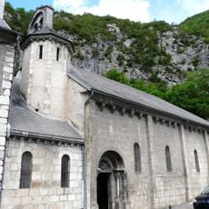
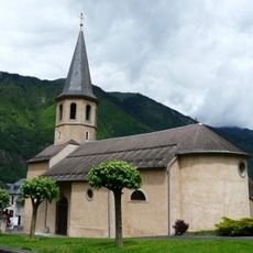
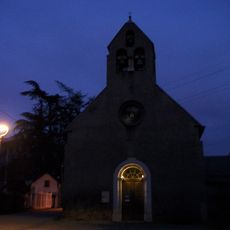
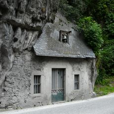
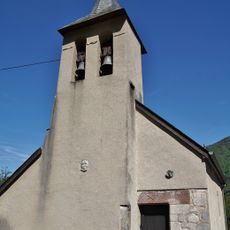
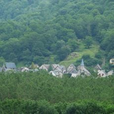
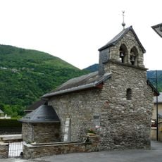
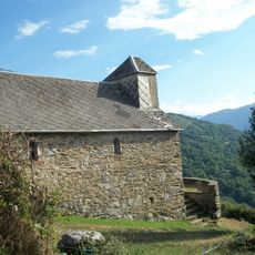
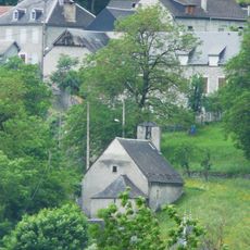
Baren is a small village in the Haute-Garonne in the Pyrénées, nestled on hillsides at altitudes between 800 and 900 meters (2,600–3,000 ft). Stone and wooden houses with traditional features are scattered throughout, connected by narrow winding streets that create an old-fashioned rural character.
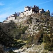
Baren has existed for several centuries as part of the historic Comminges region, once an independent county in the Pyrénées. The village had over 80 residents in the 1800s living from herding and small-scale farming, but the population declined as people moved to larger towns, leaving only a dozen residents today.
The residents, called Baréens and Baréennes, keep their way of life tied to the mountains through simple daily routines such as tending animals and small-scale farm work. The village preserves traditions linked to mountain living, including local customs and crafts that reflect how people connect with their natural surroundings.
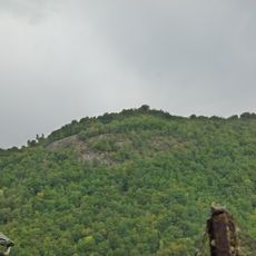
The village is reached via winding mountain roads and sits near larger towns like Saint-Gaudens and Bagnères-de-Luchon, making it accessible to visitors. There is no official tourist infrastructure, but residents are friendly and helpful; exploring on foot with good walking shoes is the best way to discover the village and its surroundings.
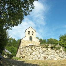
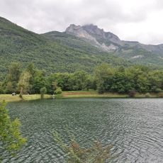
Though only about a dozen people live there year-round, many homes open seasonally to holiday guests and mountain enthusiasts. The small village sits within a Natura 2000 protected area known for rare habitats and hosts bears that returned to the region as part of a reintroduction program.
The community of curious travelers
AroundUs brings together thousands of curated places, local tips, and hidden gems, enriched daily by 60,000 contributors worldwide.