
Verchaix, commune in Haute-Savoie, France
Location: Canton of Samoëns
Location: Haute-Savoie
Location: arrondissement of Bonneville
Industry: administration publique générale
Shares border with: Les Gets, Morillon, Morzine, La Rivière-Enverse, Samoëns, Taninges
Phone: +33450901124
Email: accueil@mairie-verchaix.fr
Website: http://mairie-verchaix.fr
GPS coordinates: 46.09639,6.67639
Latest update: June 3, 2025 10:53
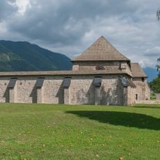
Chartreuse de Mélan
6.2 km
Jaÿsinia
4.1 km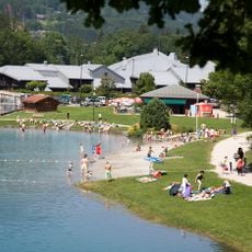
Le Splash
1.2 km
Hauts-Forts
11.2 km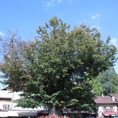
Gros Tilleul de Samoëns
4.1 km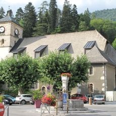
Église Notre-Dame-de-l'Assomption de Samoëns
4.2 km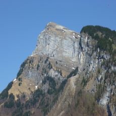
Aiguille de Criou
6.7 km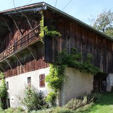
Ferme du Clos-Parchet
2 km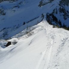
Col de Bretolet
10.6 km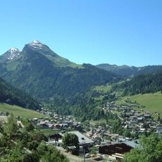
Pointe de Nyon
6.6 km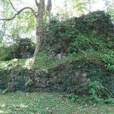
Château de Montanier
3.2 km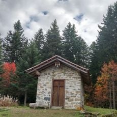
Chapelle de Jacquicourt
2.4 km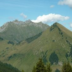
Pointe d'Uble
9.9 km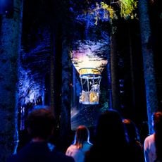
Altalumina
6.3 km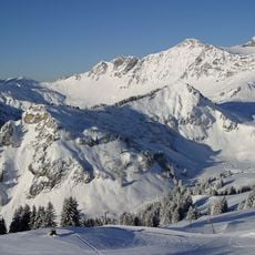
Pointe de Fornet
11.6 km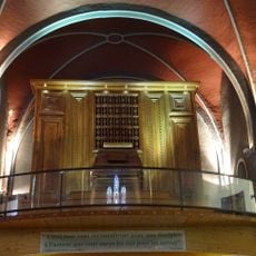
Aeolian organ
7.1 km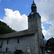
Église de la Visitation de Marie de Montriond
11.4 km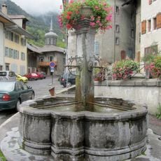
Fontaine de Taninges
6.7 km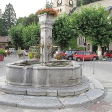
Fontaine aux bourneaux
6.4 km
Church Saint-Pierre de La Rivière-Enverse
3 km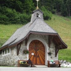
Chapelle Notre-Dame du Vieux Chalet
8 km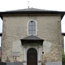
Église Saint-Sigismond de Saint-Sigismond
5.5 km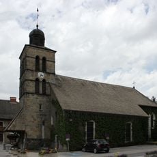
Église Saint-Christophe de Morillon
1.4 km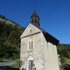
Chapelle de Treydon
5.8 km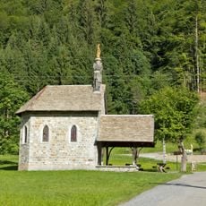
Chapelle des Mouilles
9.9 km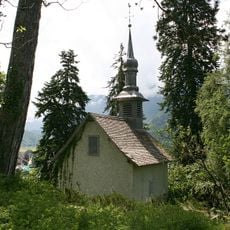
Chapelle Notre-Dame de la Compassion
4.1 km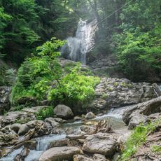
Cascades de Nyon
8 km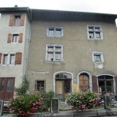
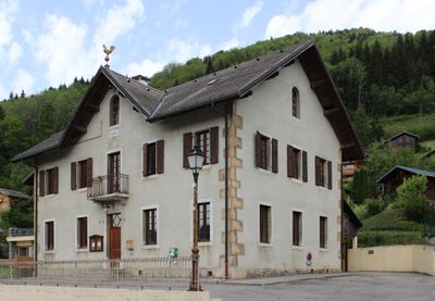
Maison, place du Marché, Taninges
6.7 kmReviews
Visited this place? Tap the stars to rate it and share your experience / photos with the community! Try now! You can cancel it anytime.
Discover hidden gems everywhere you go!
From secret cafés to breathtaking viewpoints, skip the crowded tourist spots and find places that match your style. Our app makes it easy with voice search, smart filtering, route optimization, and insider tips from travelers worldwide. Download now for the complete mobile experience.

A unique approach to discovering new places❞
— Le Figaro
All the places worth exploring❞
— France Info
A tailor-made excursion in just a few clicks❞
— 20 Minutes