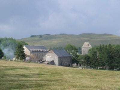
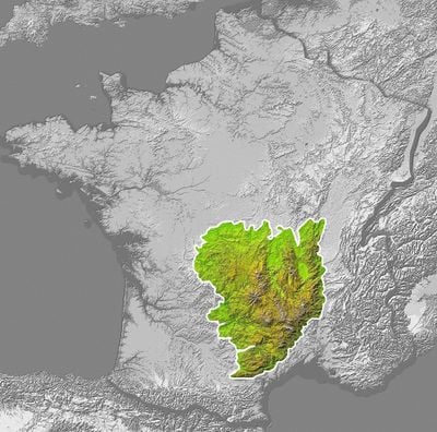
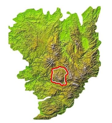
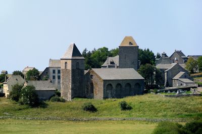
Aubrac, Volcanic plateau in Lozère, France
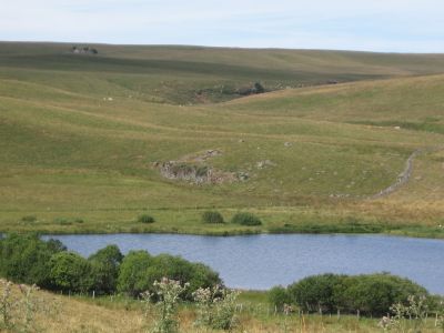
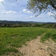
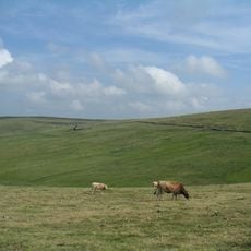
Aubrac is a volcanic plateau in Lozère, France, rising to 1469 meters and home to lakes, waterfalls, and rock formations spread across wide open spaces. The landscape consists of rolling hills, open grassland, and scattered woodland that extends over several valleys.
Volcanic activity millions of years ago shaped the rock formations and terrain that still define this region today. In 2018, the area received designation as France's 53rd regional natural park to protect its landscape and agricultural heritage for future generations.
Cattle spend their summer months grazing across open grassland before returning to lower farms when the season changes. Farmers continue this pattern today, shaping the rhythm of village life and the way the land looks throughout the year.
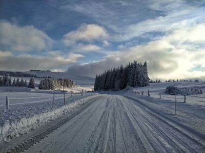
Marked hiking trails connect villages, farms, and natural points of interest, making it easy for visitors to explore the landscape on foot. The best time to visit runs from early summer through early autumn, when paths are accessible and weather conditions are milder.
Basalt columns stand at Cascade du Déroc, where cooled lava forms geometric shapes resembling organ pipes. These formations developed as molten rock cooled and contracted slowly, creating regular fracture patterns that visitors can see up close along the waterfall.
Location: Lozère
Capital city: Chaudes-Aigues
Elevation above the sea: 1,469 m
Made from material: volcanic rock
Part of: Gévaudan
GPS coordinates: 44.56694,3.08222
Latest update: December 16, 2025 17:27
France has entire territories that remain outside the usual tourist circuits. This collection brings together natural regions where life follows its own rhythm, away from the bustle of mainstream destinations. Here you find forested mountains like Morvan and the Vosges, volcanic plateaus in Cantal...
Signal de Mailhebiau
0 mRoc de Campiels
6 kmSuc de Born
5.6 kmRoc de Campiels
5.9 kmScenic viewpoint
5 mWayside cross
5.9 kmWayside cross
5.5 kmCroix de la Rode
1.9 kmLa Palle-del-Trap
2.3 kmWayside cross
5.5 kmLe Trap-Bas
3.6 kmCroix des Vernhes
3.1 kmWayside cross
3.5 kmCroix de la Berque
3.9 kmHameau Médiéval du Bartas
4.9 kmSalles Haute
2.6 kmLe Peyrou (Village mediéval ou gaulois)
5.4 kmWayside cross
4.6 kmRabiols
5.9 kmEpave voiture
5.6 kmEpave de remorque
3 kmWayside cross
5.8 kmWayside cross
2.3 kmCascade de Lacessat
4.9 kmCascade du Saltou
3 kmWaterfall, cliff
3.2 kmCascade du Trapet
3.4 kmCascade des Vernhes
2.7 kmVisited this place? Tap the stars to rate it and share your experience / photos with the community! Try now! You can cancel it anytime.
Discover hidden gems everywhere you go!
From secret cafés to breathtaking viewpoints, skip the crowded tourist spots and find places that match your style. Our app makes it easy with voice search, smart filtering, route optimization, and insider tips from travelers worldwide. Download now for the complete mobile experience.
A unique approach to discovering new places❞
— Le Figaro
All the places worth exploring❞
— France Info
A tailor-made excursion in just a few clicks❞
— 20 Minutes