Chest opened
+${chestReward.xp} XP
Explorer
NOUVEAU ×${chestReward.collectible.quantity}
tapez pour fermer
Chest locked

Open chests in the app

Around Us is built for your phone — chests unlock when you walk, explore and capture nearby places.

Enable Location

We need your location to show you interesting places around you

Discover nearby places

Find interesting locations and hidden gems around you

Precise directions

Get accurate directions and distances to places

Your location is never shared with other users. It's only used when you tap the location button.

Rumilly

Log in to your account

Start exploring — it's free

Trusted by 72,874 travelers worldwide

Continue with Google
Continue with Apple
or

We will send you a code to connect

By continuing, you accept our Terms and Conditions and our Privacy Policy

Check your inbox

We've sent a pincode in your inbox. Please enter the code below.

Discussion Reviews 2 Photos
31.4k Popularity

Rumilly, Administrative center in Haute-Savoie, France

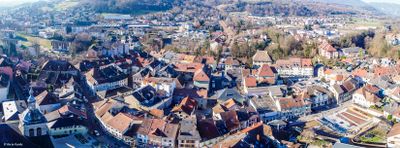
Rumilly is a town in the Haute-Savoie region, positioned between the Fier, Nephaz, and Chéran rivers and covering approximately 1,700 hectares at 400 meters elevation. The settlement hosts numerous businesses, shopping areas, and manufacturing facilities for international companies in the region.

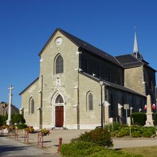
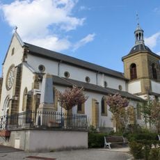
This settlement began as a Roman outpost called Romilia in ancient times and evolved into a significant trading hub for the Counts of Geneva during the medieval period. Its strategic position helped it grow into an important administrative center for the Albanais region.

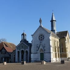
The Rumilly Museum displays regional history through rotating exhibitions, while the Quai des Arts center presents a range of performances, concerts, dance productions, and theater shows.

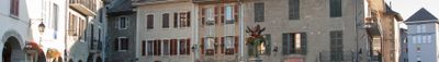
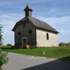
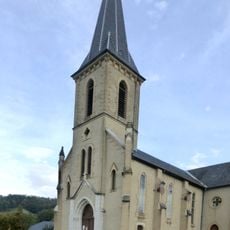
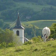
The town is easily walkable with shops and eateries concentrated near the old quarter and industrial areas on the outskirts. The river setting provides multiple pathways and green spaces for walking and taking in the surroundings.

Remparts Street runs alongside the Nephaz River and displays surviving sections of medieval fortification walls that once ringed this place when it served as the regional capital. These stone remains offer a glimpse into the defensive heritage from that earlier period.

The community of curious travelers

AroundUs brings together thousands of curated places, local tips, and hidden gems, enriched daily by 60,000 contributors worldwide.

Start exploring
Location
Elevation above the sea
384 m
Shares border with
Bloye, Boussy, Marigny-Saint-Marcel, Massingy, Moye, Sales, Vallières-sur-Fier
Address
74150 Rumilly, France
Phone
GPS coordinates
45.86667,5.94444
Latest update
December 20, 2025 01:20
Reviews
Share your experience

No review yet

Discussions
Start a discussion...

No discussion yet

« Rumilly - Administrative center in Haute-Savoie, France » is provided by Around Us (aroundus.com). Images and texts are derived from Wikimedia project under a Creative Commons license. You are allowed to copy, distribute, and modify copies of this page, under the conditions set by the license, as long as this note is clearly visible.

Discover hidden gems everywhere you go!

From secret cafés to breathtaking viewpoints, skip the crowded tourist spots and find places that match your style. Our app makes it easy with voice search, smart filtering, route optimization, and insider tips from travelers worldwide. Download now for the complete mobile experience.

Around Us App Screenshot

A unique approach to discovering new places

Le Figaro

All the places worth exploring

France Info

A tailor-made excursion in just a few clicks

20 Minutes

Around Us
Travel Guide & Maps
Download

Send to your phone

QR Code
1

Open the camera app on your mobile.

2

Point at the QR code with your camera. A notification will appear.

3

Tap the notification to open the link.