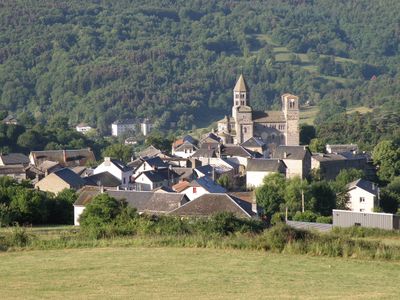
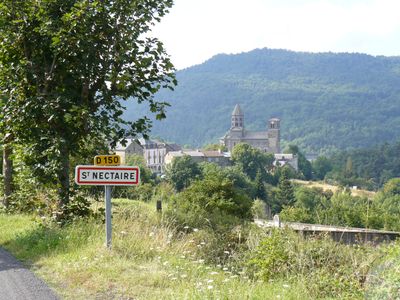
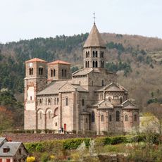
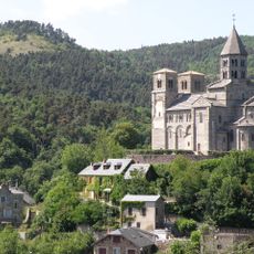
Saint-Nectaire, Medieval village in Puy-de-Dôme, France
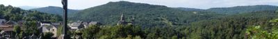
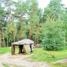
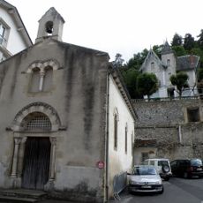
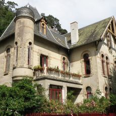
Saint-Nectaire is a commune in the Auvergne region divided into an upper and lower section, set among mountainous terrain. Thermal springs naturally occur throughout the area and have shaped settlement patterns here.
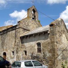
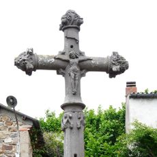
The area fell under the control of the Abbey of La Chaise-Dieu in 1146, when a priory was established there. This religious connection shaped the settlement's development for centuries afterward.
The basilica contains a significant 12th-century Auvergnat Virgin and Child sculpture that represents the artistic heritage of medieval France.
The two settlement sections are best explored on foot, with the lower part being more accessible. Wear appropriate footwear since the terrain is hilly and can be uneven in places.
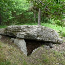
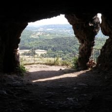
Underground, thermal waters create mineral stalagmites from limestone deposits in the area's caves. These natural formations develop through the slow interaction of warm water with the rock over time.
Location: canton of Champeix
Location: Puy-de-Dôme
Location: arrondissement of Issoire
Elevation above the sea: 824 m
Shares border with: Aydat, Cournols, Grandeyrolles, Montaigut-le-Blanc, Murol, Olloix, Saint-Diéry, Saint-Victor-la-Rivière, Le Vernet-Sainte-Marguerite, Verrières
Address: 63710 Saint-Nectaire, France
Phone: +33473885041
Email: accueil@ville-saint-nectaire.fr
Website: http://ville-saint-nectaire.fr
GPS coordinates: 45.58806,2.99278
Latest update: December 20, 2025 03:03
Église de Saint-Nectaire
40 m
Grottes du Mont Cornadore
159 m
Ferme Élevage de Kangourous et de Myocastors
2.4 km
Dolmen de Saillant
2.9 km
Dolmen du Parc
753 mAutel des Druides
3.2 km
La Pineyre dolmen
1.3 km
Croix de Saint-Roch
1.2 kmDolmen de Sapchat
1.8 km
Église Saint-Pierre-Saint-Roch de Saillant
2.4 km
Chapelle des Baigneurs de Bains-d'en-bas
1 km
Villa Russe
884 m
Croix du Marchidial
357 mPuy de Mazeyres
867 m
Grottes de Châteauneuf
835 m
Thermes du Mont Cornadore
154 mScenic viewpoint
4.1 kmScenic viewpoint, toposcope
841 mVierge
2.5 kmMystères de Farges
1.6 kmFerme Bellonte
1.8 kmTower, archaeological site
732 mWayside cross
2.2 kmArchaeological site, dolmen, megalith
1.8 kmWayside cross, Christianity, Catholic church building
51 mWayside cross
1.2 kmWaterfall
2.3 kmCascade de Saillant
2.4 kmVisited this place? Tap the stars to rate it and share your experience / photos with the community! Try now! You can cancel it anytime.
Discover hidden gems everywhere you go!
From secret cafés to breathtaking viewpoints, skip the crowded tourist spots and find places that match your style. Our app makes it easy with voice search, smart filtering, route optimization, and insider tips from travelers worldwide. Download now for the complete mobile experience.
A unique approach to discovering new places❞
— Le Figaro
All the places worth exploring❞
— France Info
A tailor-made excursion in just a few clicks❞
— 20 Minutes