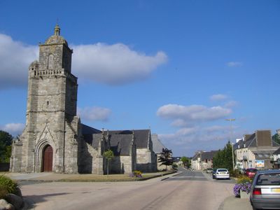
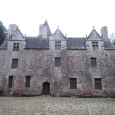
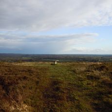
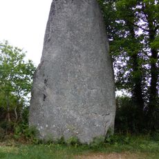
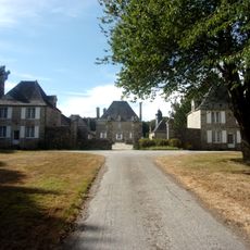
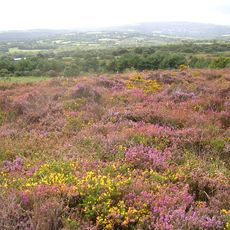
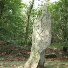
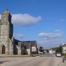
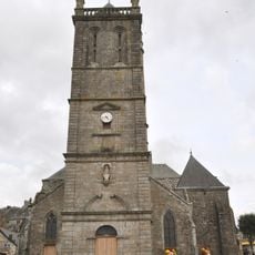
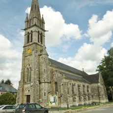
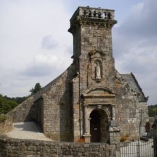
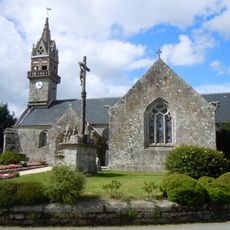
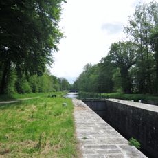
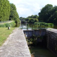
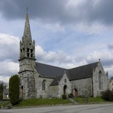
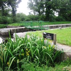
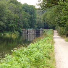
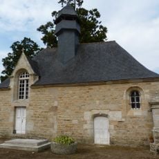
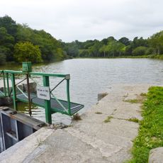
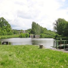
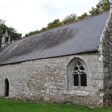
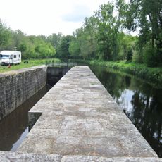
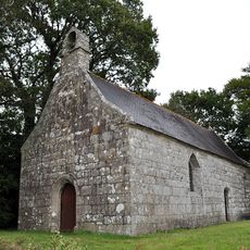
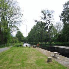
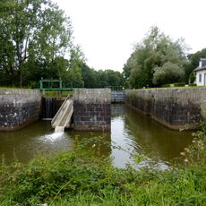
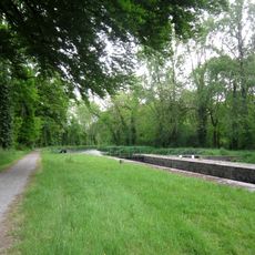
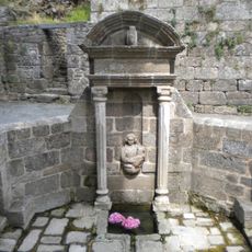
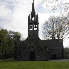
Glomel, commune in Côtes-d'Armor, France
Location: Côtes-d'Armor
Location: arrondissement of Guingamp
Elevation above the sea: 220.5 m
Industry: administration publique générale
Shares border with: Langonnet, Plouray, Rostrenen, Kergrist-Moëlou, Maël-Carhaix, Mellionnec, Paule
Phone: +33296296051
Email: accueil.communeglomel@wanadoo.fr
Website: http://ville-glomel.fr
GPS coordinates: 48.22278,-3.39639
Latest update: May 30, 2025 21:34
Château de Coat-Couraval
3.6 km
Calotte Saint-Joseph
6.6 km
Menhir de Glomel
759 m
Château de Trégarantec à Mellionnec
7 km
Réserve naturelle régionale des landes et marais de Glomel
2.1 km
Menhir de Coat-Couraval
3.8 km
Église Saint-Germain-l'Auxerrois de Glomel
80 m
Église Notre-Dame du Roncier
6 km
Église Sainte-Paule de Paule
3.8 km
Chapelle de Locmaria de Rostrenen
6.7 km
Chapelle Saint-Jacques de Rostrenen
5.7 km
Église Saint-Corentin de Trégornan
5.6 km
Écluse de Rosquelven
4.8 km
Écluse du Minguen
2.1 km
Église Saint-Claude de Bonen
7.2 km
Écluse de Prat Marc'h
3.5 km
Écluse de Trehu Moron
2.6 km
Chapelle du château de Trégarantec
7.1 km
Écluse de Keriou
3.6 km
Écluse de Kergicquel
2.3 km
Chapelle Saint-Conogan de Glomel
1.8 km
Écluse de Daoulas
3.8 km
Chapelle Sainte-Christine de Glomel
3.4 km
Écluse de Kerdelen
4.5 km
Écluse de Pont Auffret
4.7 km
Écluse de Cajan
4.2 km
Fontaine de Rostrenen
6 km
Chapelle Saint-Michel de Glomel
5.2 kmVisited this place? Tap the stars to rate it and share your experience / photos with the community! Try now! You can cancel it anytime.
Discover hidden gems everywhere you go!
From secret cafés to breathtaking viewpoints, skip the crowded tourist spots and find places that match your style. Our app makes it easy with voice search, smart filtering, route optimization, and insider tips from travelers worldwide. Download now for the complete mobile experience.
A unique approach to discovering new places❞
— Le Figaro
All the places worth exploring❞
— France Info
A tailor-made excursion in just a few clicks❞
— 20 Minutes