
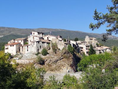
Collongues, commune in Alpes-Maritimes, France
Location: canton of Saint-Auban
Location: Alpes-Maritimes
Location: arrondissement of Grasse
Elevation above the sea: 759 m
Shares border with: La Rochette, Amirat, Les Mujouls, Sallagriffon
Phone: +33761092853
Email: mairie@collongues06.fr
GPS coordinates: 43.88806,6.86306
Latest update: June 11, 2025 11:08
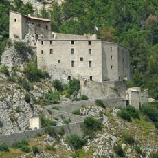
Citadelle d'Entrevaux
8.2 km
Action Enchained
7.8 km
Entrevaux Cathedral
8 km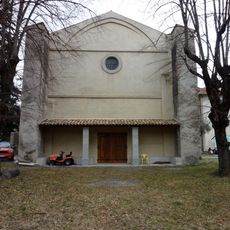
Glandèves Cathedral
7.7 km
Église Notre-Dame-de-l'Assomption de Puget-Théniers
8 km
Château de Castellet Saint-Cassien
5.3 km
Église Saint-Sauveur de Gars
5.4 km
Église Notre-Dame du Mas
5 km
Plage naturiste
7.5 km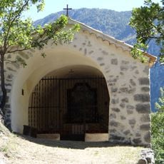
Chapelle Saint-Joseph de Gars
4.8 km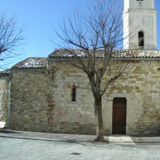
Église Saint-Pierre de La Penne
8.1 km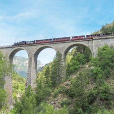
Train des Pignes à Vapeur
7.6 km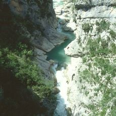
Clue d'Aiglun
3.8 km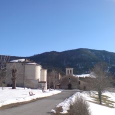
Église Sainte-Delphine de Castellet-Saint Cassien
5.3 km
Chapelle Saint-Jeannet d'Amirat
4.4 km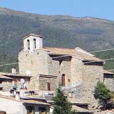
Église Saint-Roch de Collongues
112 m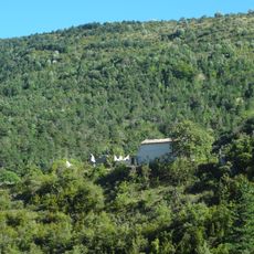
Église Notre-Dame-de-l'Annonciation de Montblanc
8 km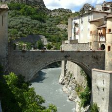
Pont de la Porte Royale
8 km
Église Sainte-Anne d'Amirat
3.3 km
Église Saint-Étienne de Saint-Pierre
5.6 km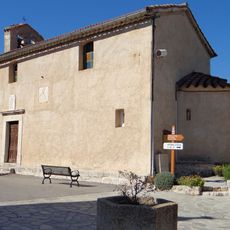
Église Sainte-Marguerite de Sallagriffon
3.5 km
Église Saint-Raphaël d'Aiglun
5.4 km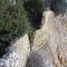
Forteresse troglodyte d'Aiglun
4.6 km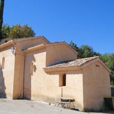
Église Sainte-Marthe des Mujouls
486 mCime de la Cacia
8.1 km
Chapelle Notre-Dame-du-Plan dite Halte des Templiers de La Penne
8.2 km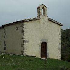
Chapelle de Saint-Saturnin
3.8 km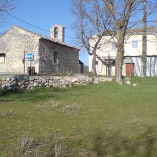
Chapelle Saint-Pierre de Saint-Pierre
5.6 kmVisited this place? Tap the stars to rate it and share your experience / photos with the community! Try now! You can cancel it anytime.
Discover hidden gems everywhere you go!
From secret cafés to breathtaking viewpoints, skip the crowded tourist spots and find places that match your style. Our app makes it easy with voice search, smart filtering, route optimization, and insider tips from travelers worldwide. Download now for the complete mobile experience.

A unique approach to discovering new places❞
— Le Figaro
All the places worth exploring❞
— France Info
A tailor-made excursion in just a few clicks❞
— 20 Minutes