
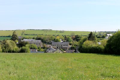
Saint-Omer, commune in Calvados, France
Location: Calvados
Location: arrondissement of Caen
Elevation above the sea: 225 m
Shares border with: Le Bô, Combray, Donnay, Pierrefitte-en-Cinglais, La Pommeraye, Saint-Rémy, Le Vey, Thury-Harcourt-le-Hom
Phone: +33231697363
Email: commune-de-saint-omer@orange.fr
GPS coordinates: 48.92583,-0.45333
Latest update: June 9, 2025 00:52

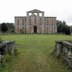
Château d'Harcourt
7.2 km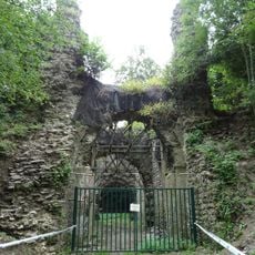
Château Ganne
4.1 km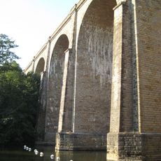
Viaduc de Clécy
2.3 km
Château de La Pommeraye
3.4 km
Le Monde Miniature
2.1 km
Château de la Motte
7.3 km
Église Saint-Sauveur de Thury-Harcourt
6.9 km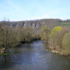
Rochers des Parcs
1.8 km
Office de Tourisme de la Suisse Normande
6.9 km
Golf de Clécy-Cantelou
5.5 km
Église de Saint-Rémy
3.7 km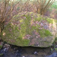
Mégalithe du Pré-du-Vivret
1.5 km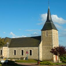
Église Saint-Pierre-Saint-Paul de Pierrefitte-en-Cinglais
5.4 km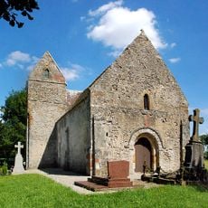
Église Sainte-Anne d'Angoville
5.9 km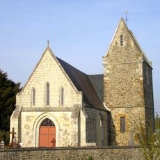
Église Saint-Martin de Combray
2.8 km
Église Saint-Pierre de Clécy
2.4 km
Église de l'Assomption-de-Notre-Dame de Cesny
7.5 km
Église Saint-Vigor de Donnay
4.1 km
Église Saint-Cénérin de Meslay
5.9 km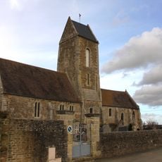
Église Saint-Firmin de Placy
6.3 km
Église Saint-Omer de Saint-Omer
74 m
Saint Bartholomew Church
4.2 km
Église Saint-Sulpice de Caumont-sur-Orne
3.4 km
Église de la Nativité-de-Notre-Dame d'Esson
4.3 km
Église Saint-Laurent du Vey
1.6 km
Saint Joseph Chapel
6.4 km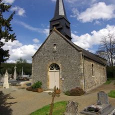
Église Saint-Pierre du Bô
3.1 km
Église Notre-Dame de Bonnœil
6.4 kmVisited this place? Tap the stars to rate it and share your experience / photos with the community! Try now! You can cancel it anytime.
Discover hidden gems everywhere you go!
From secret cafés to breathtaking viewpoints, skip the crowded tourist spots and find places that match your style. Our app makes it easy with voice search, smart filtering, route optimization, and insider tips from travelers worldwide. Download now for the complete mobile experience.

A unique approach to discovering new places❞
— Le Figaro
All the places worth exploring❞
— France Info
A tailor-made excursion in just a few clicks❞
— 20 Minutes