Enable Location

We need your location to show you interesting places around you

Discover nearby places

Find interesting locations and hidden gems around you

Precise directions

Get accurate directions and distances to places

Your location is never shared with other users. It's only used when you tap the location button.

Liverdun

Log in to your account

Start exploring — it's free

Trusted by 62,498 travelers worldwide

Continue with Google
Continue with Apple
or

We will send you a code to connect

By continuing, you accept our Terms and Conditions and our Privacy Policy

Check your inbox

We've sent a pincode in your inbox. Please enter the code below.

Liverdun

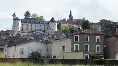
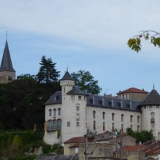
Liverdun, Medieval commune in Meurthe-et-Moselle, France

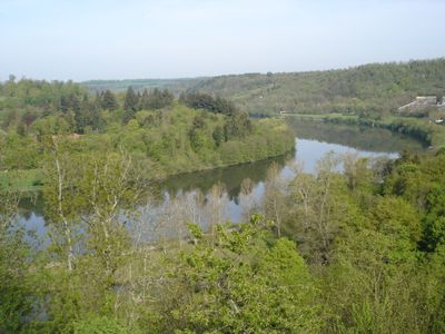
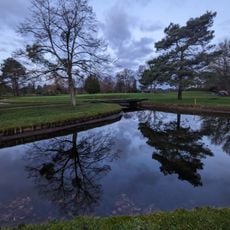
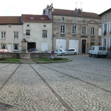
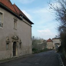
Liverdun is a commune in Meurthe-et-Moselle located on a peninsula formed by the Moselle River at an elevated position. The settlement sits among forests and valleys, with road connections linking it to the wider Grand Est region.

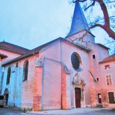
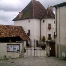
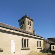
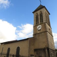
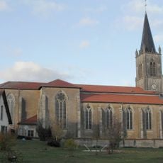
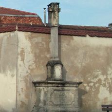
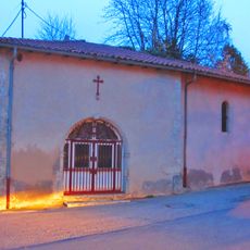
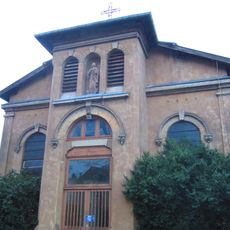
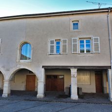
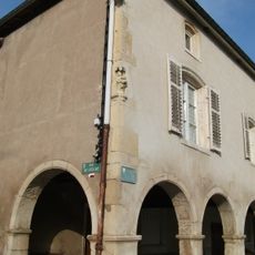
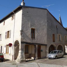
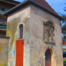
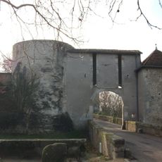
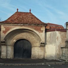
The settlement began as a Roman strategic point and later became a fortified location controlling river passage routes. This position as a controlling point shaped its medieval development for centuries.

Local bakeries continue making traditional madeleines using family recipes, and this pastry remains a daily presence in the community's food culture.

The best time to visit is during warmer months when roads are accessible and the surrounding landscape is most enjoyable. The location is easily reached by car, and regular bus services run to nearby Nancy.

The peninsula shape formed by the Moselle river around the location provided natural protection that required few additional fortifications in medieval times. Visitors can clearly see this geographic feature while walking around the settlement.

The community of curious travelers

AroundUs brings together thousands of curated places, local tips, and hidden gems, enriched daily by 60,000 contributors worldwide.

Start exploring
Elevation above the sea
264 m
Shares border with
Aingeray, Champigneulles, Frouard, Jaillon, Marbache, Pompey, Rosières-en-Haye, Saizerais, Sexey-les-Bois, Velaine-en-Haye, Villey-Saint-Étienne, Bois-de-Haye
Phone
GPS coordinates
48.75028,6.06194
Latest update
December 6, 2025 16:04
Hidden places of Grand Est: medieval forts, Renaissance castles and forgotten abbeys

The Grand Est displays a rich architectural and military heritage, from fortified structures like the Fort of Mutzig and the La Ferté ouvrage on the Maginot Line, to princely residences such as Château de Lunéville with its French gardens. The region also preserves religious sites like the Abbey of...

« Liverdun - Medieval commune in Meurthe-et-Moselle, France » is provided by Around Us (aroundus.com). Images and texts are derived from Wikimedia project under a Creative Commons license. You are allowed to copy, distribute, and modify copies of this page, under the conditions set by the license, as long as this note is clearly visible.

Discover hidden gems everywhere you go!

From secret cafés to breathtaking viewpoints, skip the crowded tourist spots and find places that match your style. Our app makes it easy with voice search, smart filtering, route optimization, and insider tips from travelers worldwide. Download now for the complete mobile experience.

Around Us App Screenshot

A unique approach to discovering new places

Le Figaro

All the places worth exploring

France Info

A tailor-made excursion in just a few clicks

20 Minutes

Around Us
Travel Guide & Maps
Download

Send to your phone

QR Code
1

Open the camera app on your mobile.

2

Point at the QR code with your camera. A notification will appear.

3

Tap the notification to open the link.