
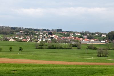
Déservillers, commune in Doubs, France
Location: canton of Amancey
Location: Doubs
Location: arrondissement of Besançon
Elevation above the sea: 710 m
Shares border with: Amancey, Montmahoux, Bolandoz, Levier, Éternoz-Vallée-du-Lison
Phone: +33381865065
Email: mairiedeservillers@wanadoo.fr
Website: http://deservillers.chez-alice.fr
GPS coordinates: 47.00306,6.07139
Latest update: June 1, 2025 16:49
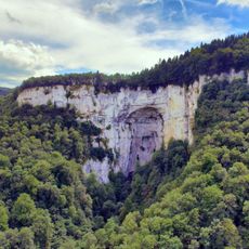
Grotte Sarrazine
6.4 km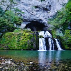
Source du Lison
6.2 km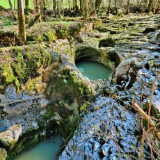
Creux Billard
6.3 km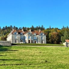
Château de Maillot
5.3 km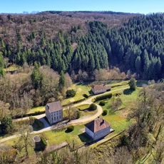
Abbaye Notre-Dame de Migette
6.5 kmFerme Courbet
5.4 km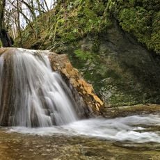
Ruisseau de Malans
3.2 km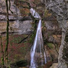
Ruisseau de Bonneille
6.1 km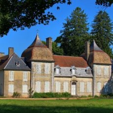
Château de Fertans
5.4 km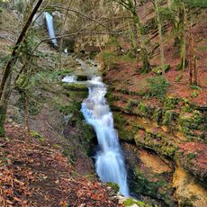
Ruisseau de Rochanon
4 km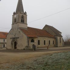
Église Saint-Léger de Fertans
5.4 km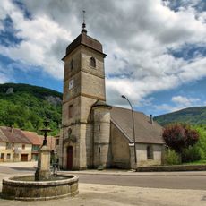
Église Saint-Urbain de Nans-sous-Sainte-Anne
6.1 km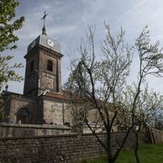
Église Saint-Léonard de Labergement-du-Navois
2.9 km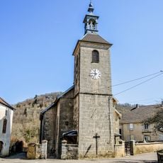
Église Saint-Étienne de Malans
5.9 km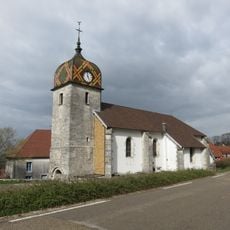
Église Sainte-Agathe de Déservillers
226 m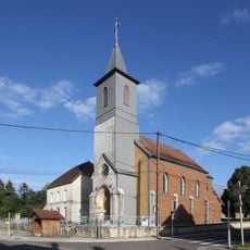
Église Saint-Roch de Silley-Amancey
6 km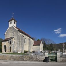
Église Saints-Pierre-et-Paul de Coulans-sur-Lizon
4.5 km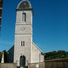
Église Saint-Georges de Bolandoz
3.7 km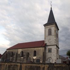
Église Saint-Point de Montmahoux
3.7 km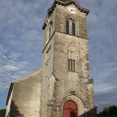
Église Saint-Jean-Baptiste
3.8 km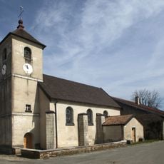
Église Saint-Nicolas de Flagey
5.5 km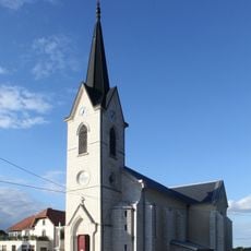
Église Saint-Martin de Reugney
6.2 km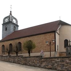
Église Sainte-Madeleine de Gevresin
4.5 km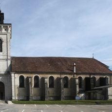
Église Saint-Jean-Baptiste de Levier
6.7 km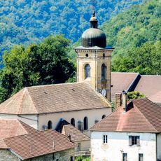
Église Saint-Laurent d'Éternoz
3.2 km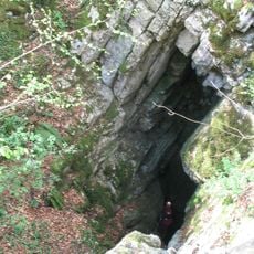
Baume des Crêtes
902 m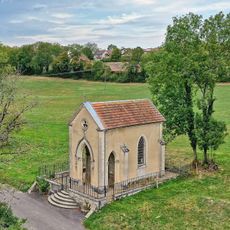
Chapelle Saint-Joseph de Reugney
6.6 km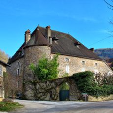
Château Mirabeau
6 kmVisited this place? Tap the stars to rate it and share your experience / photos with the community! Try now! You can cancel it anytime.
Discover hidden gems everywhere you go!
From secret cafés to breathtaking viewpoints, skip the crowded tourist spots and find places that match your style. Our app makes it easy with voice search, smart filtering, route optimization, and insider tips from travelers worldwide. Download now for the complete mobile experience.

A unique approach to discovering new places❞
— Le Figaro
All the places worth exploring❞
— France Info
A tailor-made excursion in just a few clicks❞
— 20 Minutes