
Repentigny, commune in Calvados, France
Location: canton of Cambremer
Location: Calvados
Location: arrondissement of Lisieux
Elevation above the sea: 106 m
Shares border with: Auvillars, Beaufour-Druval, Léaupartie, Rumesnil
Email: mairie-repentigny@laposte.net
GPS coordinates: 49.20528,0.04583
Latest update: May 25, 2025 18:06
Abbey of Val-Richer
6.2 km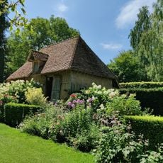
Les Jardins du Pays d'Auge
6.7 km
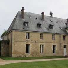
Château les Bruyères
6.8 km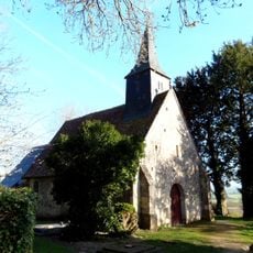
Chapelle Saint-Michel de Clermont-en-Auge
5.6 km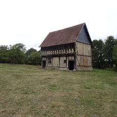
Grenier à dîmes de Saint-Gilles-de-Livet
3.3 km
Château de Victot-Pontfol
6.2 km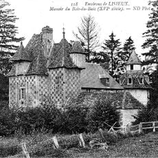
Manoir du Bais
4.3 km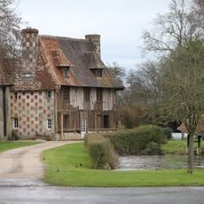
Manoir du Champ-Versan
4.6 km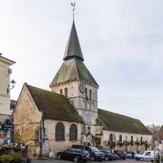
Église Saint-Denis
6.1 km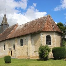
Église Saint Germain de Grandouet
5.4 km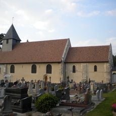
Église Saint-Germain d'Auvillars
2.1 km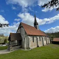
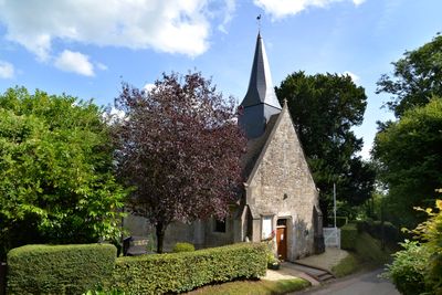
Église Notre-Dame de Druval
1.1 km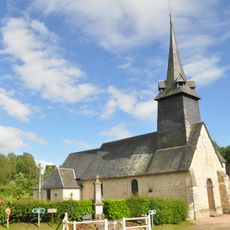
Église Saint-Martin de La Roque-Baignard
4.9 km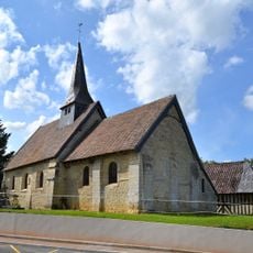
Église Saint-Germain de Léaupartie
2.4 km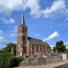
Église Saint-Pierre de Rumesnil
2.6 km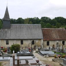
Église de l'Assomption-de-Notre-Dame de Cresseveuille
4.4 km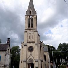
Église Saint-Martin de Bonnebosq
2.4 km
Église Saint-Martin de Gerrots
4 km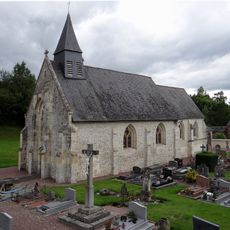
Église Saint-Gabriel de Valsemé
5 km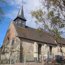
Église Saint-Léger de Saint-Léger-Dubosq
6 km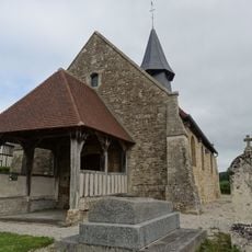
Église de l'Annonciation-de-Notre-Dame de Montreuil-en-Auge
3.8 km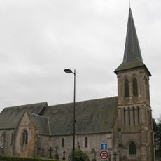
Église Saint-Remy d'Annebault
5.3 km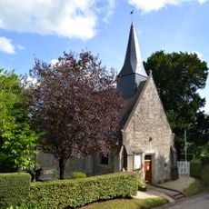
Église Saint-Martin de Repentigny
1.6 km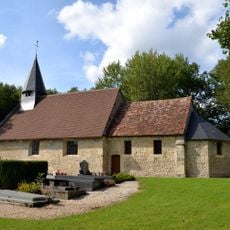
Saint Peter Church
4.4 km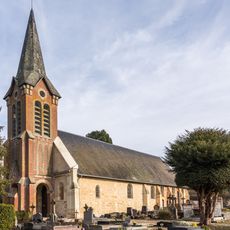
Église Saint-Martin de Beuvron-en-Auge
6.8 km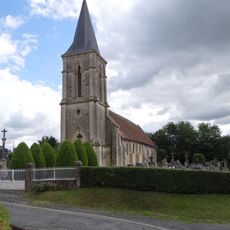
Église Notre-Dame de Beaufour
1.8 km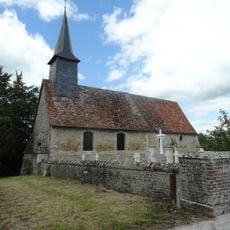
Chapelle Saint-Gilles de Livet
3.2 km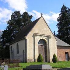
Chapelle Saint-Martin de Pontfol
5.4 kmVisited this place? Tap the stars to rate it and share your experience / photos with the community! Try now! You can cancel it anytime.
Discover hidden gems everywhere you go!
From secret cafés to breathtaking viewpoints, skip the crowded tourist spots and find places that match your style. Our app makes it easy with voice search, smart filtering, route optimization, and insider tips from travelers worldwide. Download now for the complete mobile experience.

A unique approach to discovering new places❞
— Le Figaro
All the places worth exploring❞
— France Info
A tailor-made excursion in just a few clicks❞
— 20 Minutes