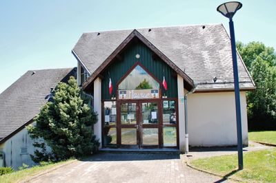
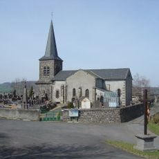
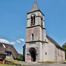
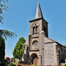
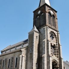
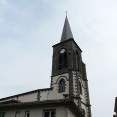
Cisternes-la-Forêt, Rural commune in Puy-de-Dôme, France
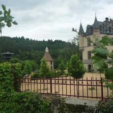
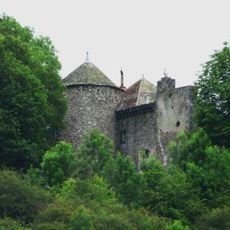
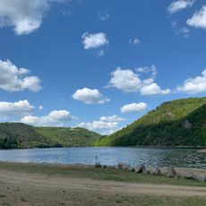
Cisternes-la-Forêt is a small rural commune in the Auvergne-Rhône-Alpes region characterized by rolling hills, forests, and scattered farmland. The settlement sits at approximately 774 meters elevation and encompasses several hamlets connected by country roads.
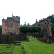
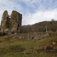
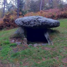
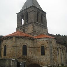
The commune originated as a rural administrative division during the early modern period and was shaped by agricultural and forestry traditions for centuries. It underwent administrative reorganization in the early 21st century along with surrounding areas in the canton.
Two public schools, including École maternelle Lavergne, provide educational services to local families while maintaining regional teaching traditions.
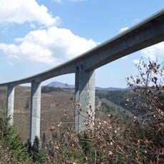
The commune is well connected by country roads to nearby towns within a few kilometers, making it easy to reach by car. However, public transportation is limited, so having your own vehicle is advisable for exploring the area.
The territory features a combination of permanent residences and seasonal homes, with secondary residences representing 16.9 percent of total housing.
The community of curious travelers
AroundUs brings together thousands of curated places, local tips, and hidden gems, enriched daily by 60,000 contributors worldwide.